


|
|
|
|
|
|
| Brian McMorrow | profile | all galleries >> Aviation >> Aerial Photos >> Aerials- Africa >> 2005 Flying Safari - Namibia Botswana Zimbabwe Zambia Angola | tree view | thumbnails | slideshow |
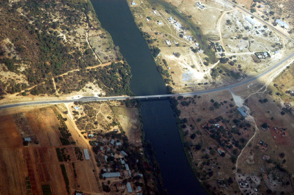
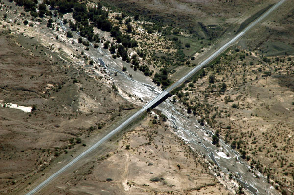
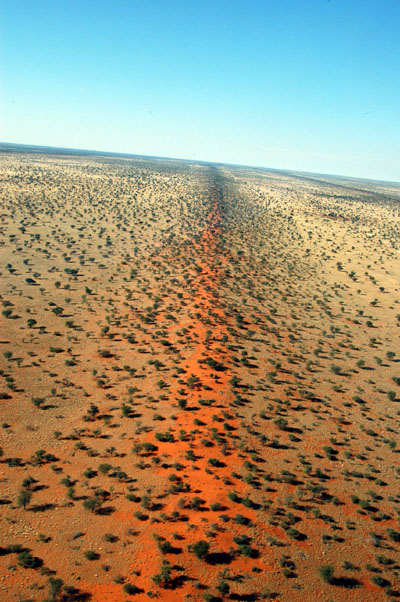
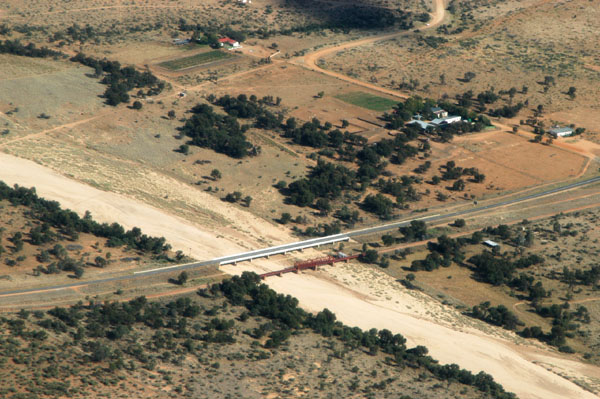 A bridge on the Trans Kalahari Highway near Hosea Kutako International Airport, Windhoek |
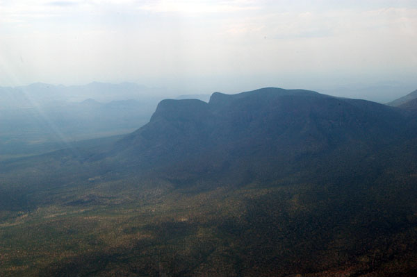
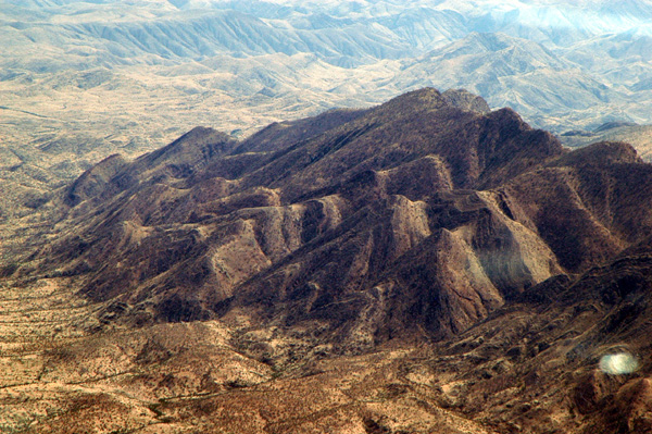
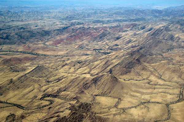
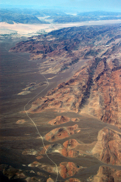
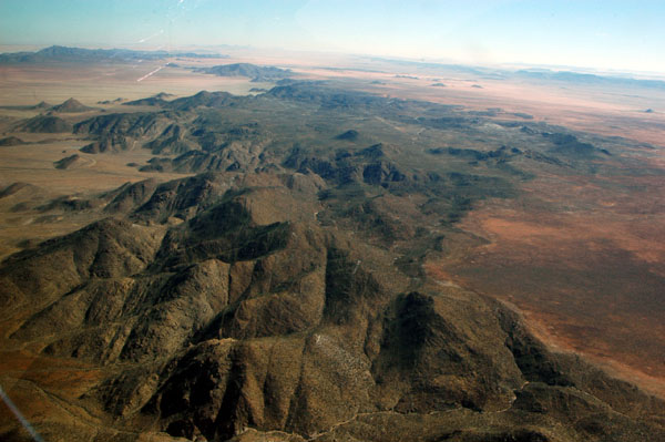
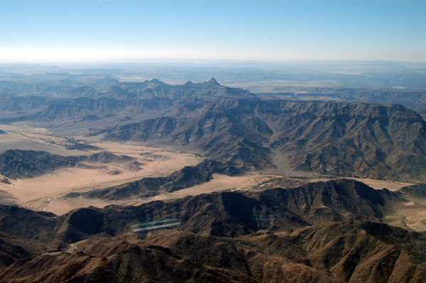
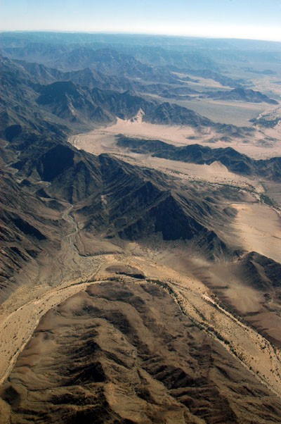
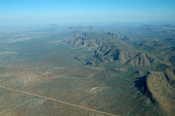
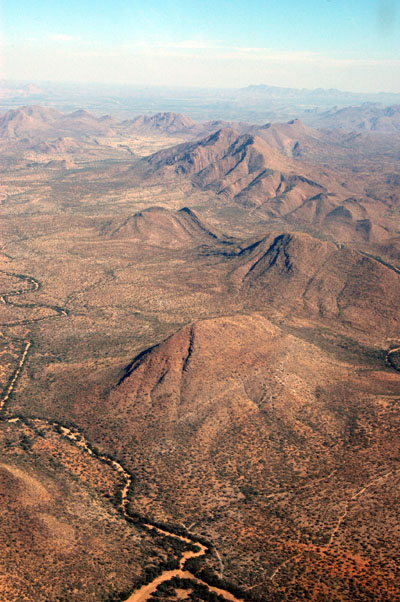
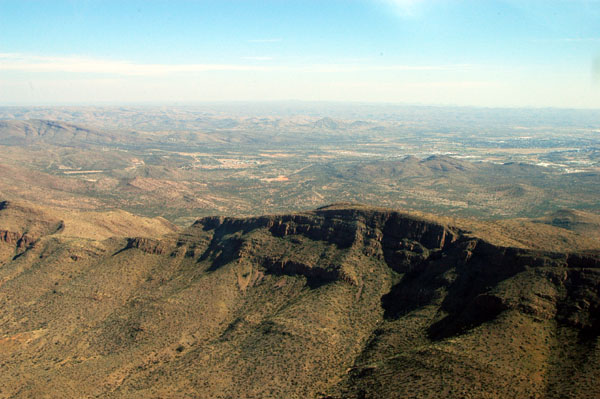
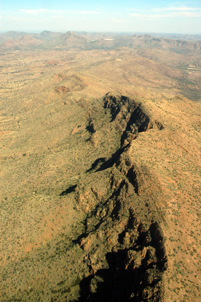
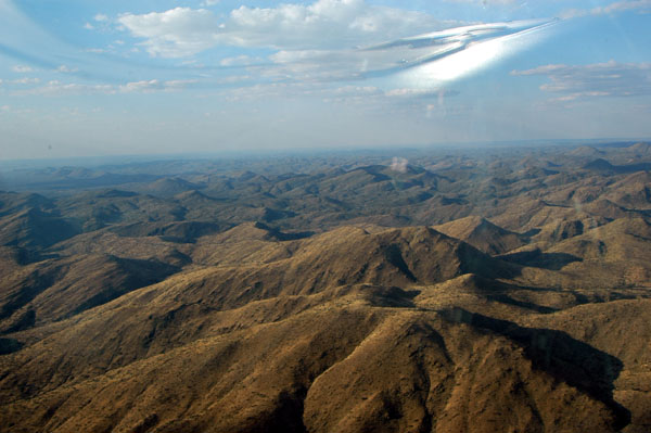 Overflying the mountains between Windhoek and Okahanja |
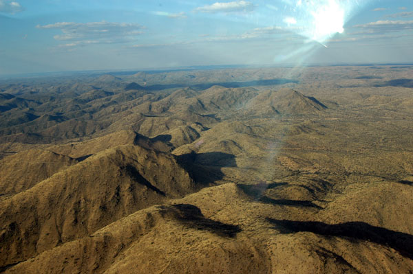 Overflying the mountains between Windhoek and Okahanja |
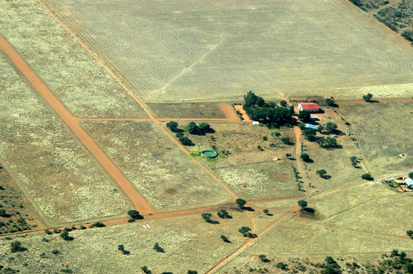
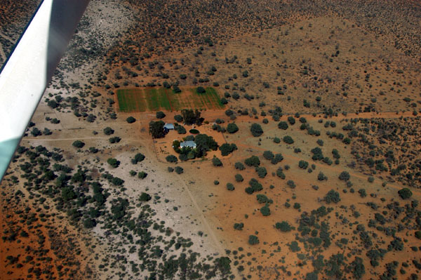
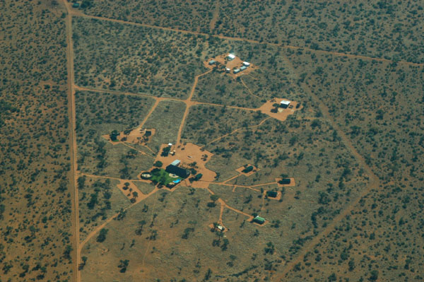
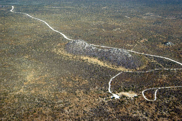
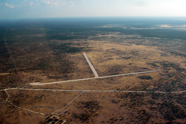
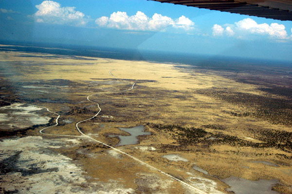
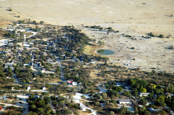
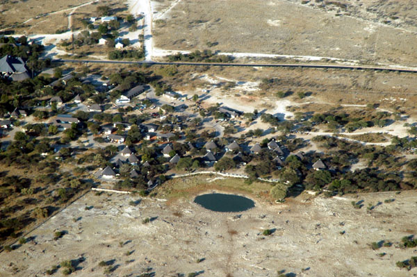
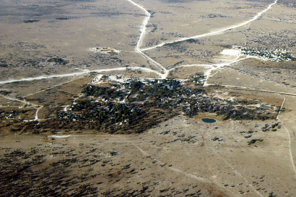
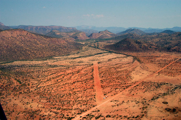
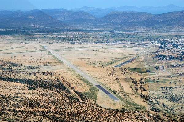
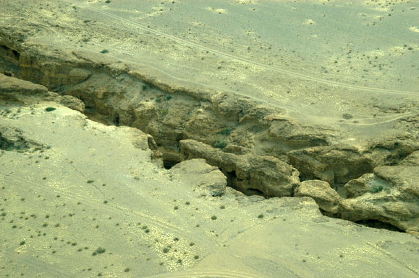
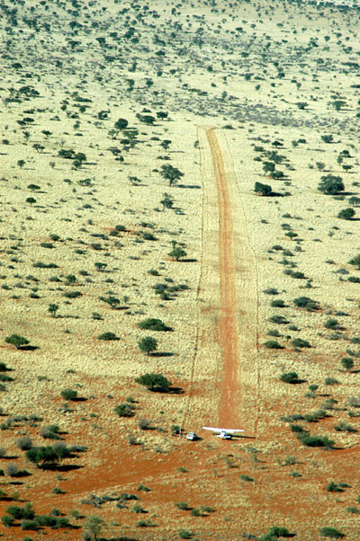
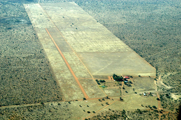 Eureka (S21deg12'/E017deg49') |
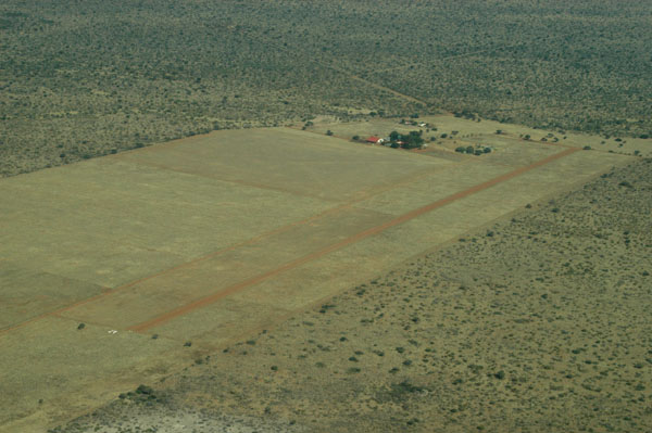
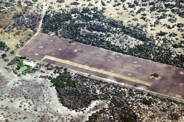
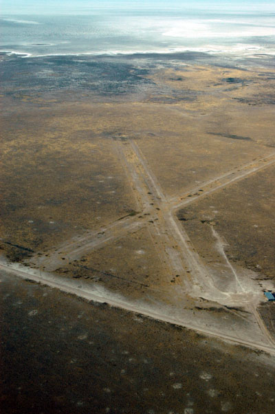
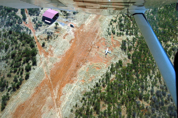
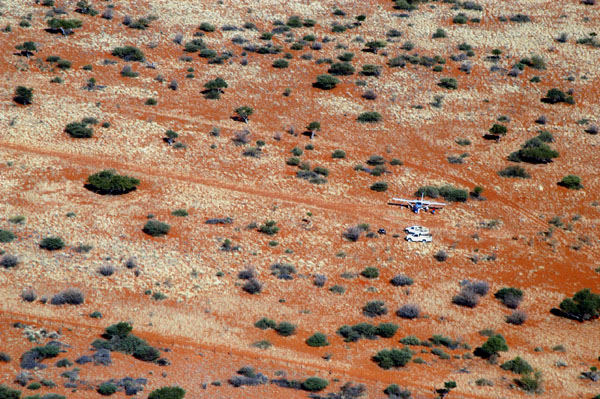
 Runway 11 at Eureka |
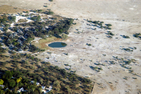
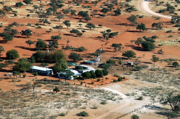
 Eureka |
 Eureka |
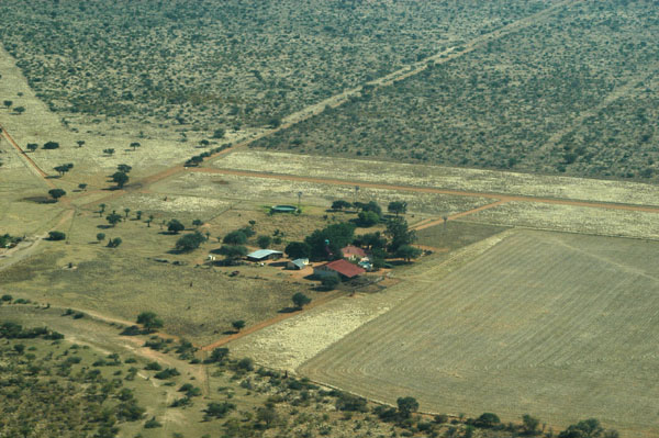 Eureka |
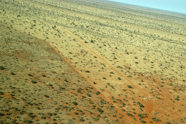
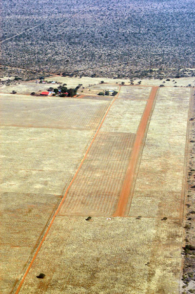 Runway 29 at Eureka |
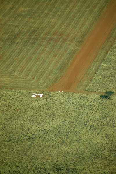 Runway 29 at Eureka |
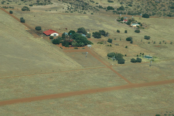
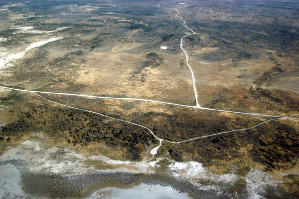
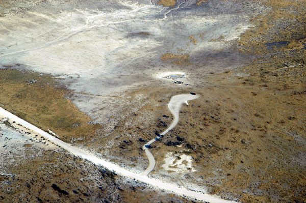
 Flying around Eureka |
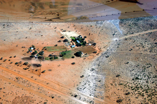 We visited the neighboring farms |
 We left Eureka enroute to Gobabis to get fuel and get an exit stamp from Namibia headed to Botswana |
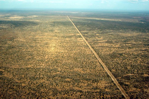
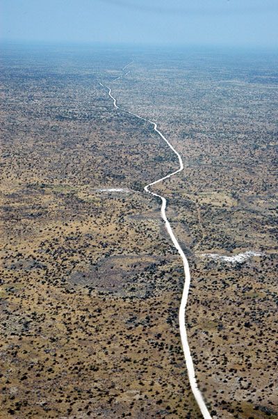
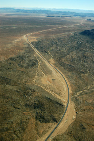
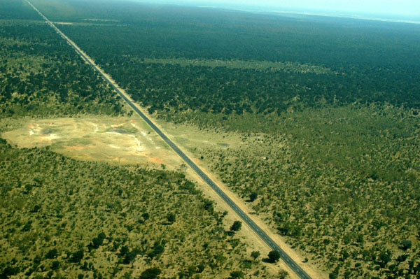
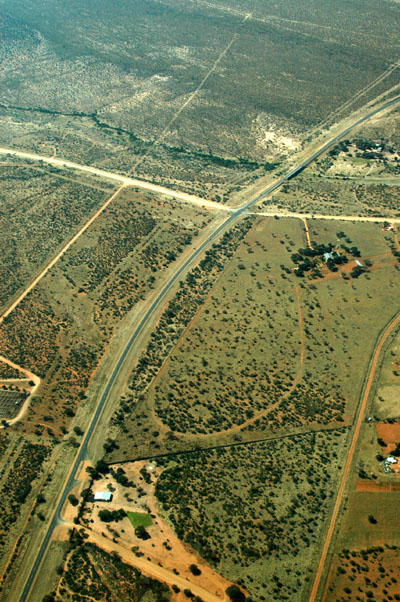 A paved road! The Trans Kalahari Highway |
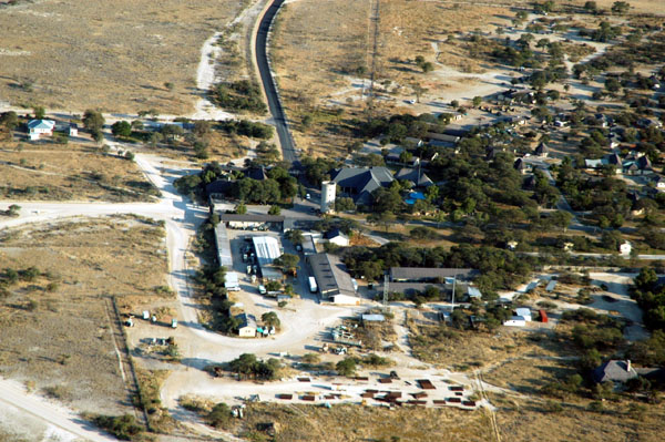
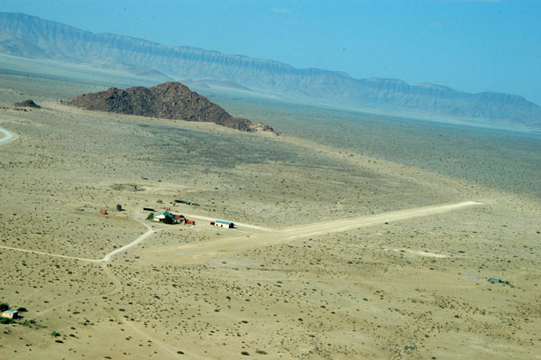
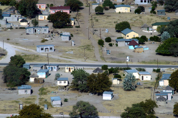
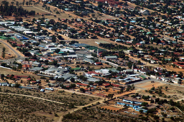 Gobabis, Namibia |
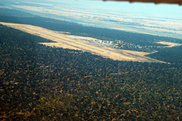
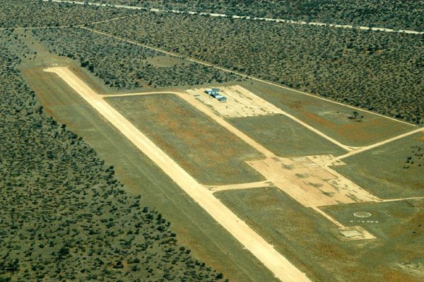 Gobabis Airport |
 Gobabis Airport FYGB (looking at rwy 7) |
 Gobabis, Namibia |
 Gobabis, Namibia |
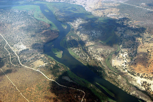
 Zambezi River at the junction of Namibia, Zamibia, Zimbabwe and Botswana |
 Zambezi River - Namibia-Zambia |
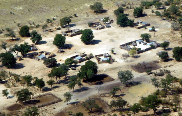
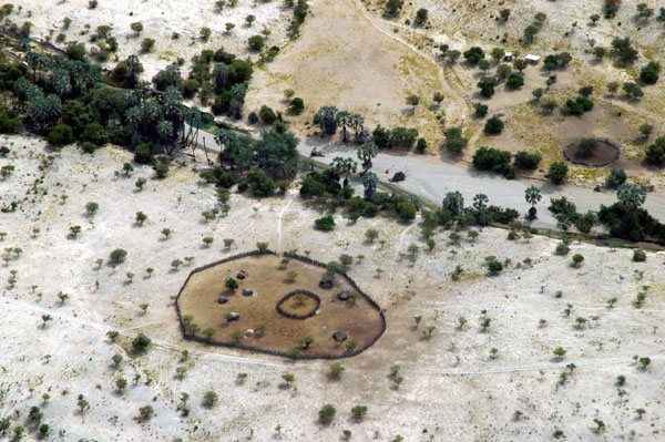
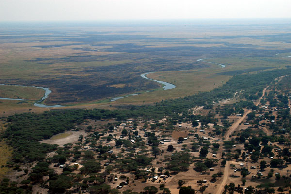
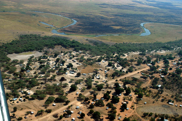
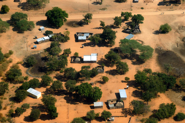
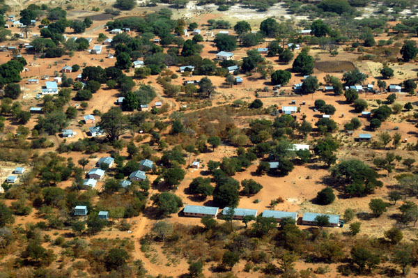
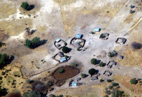 Settlement in the Caprivi |
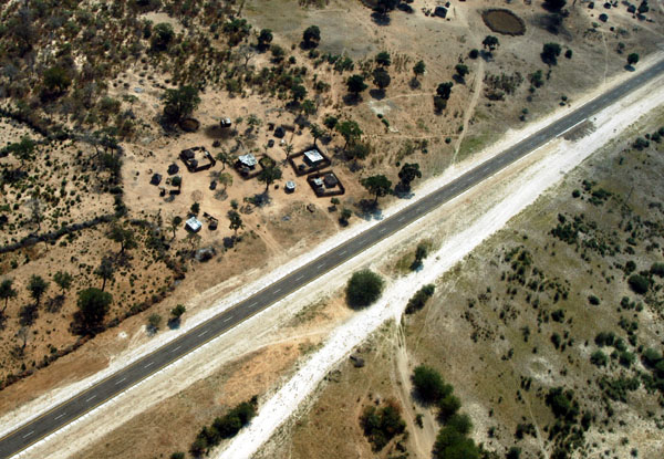 Caprivi Highway, Namibia |
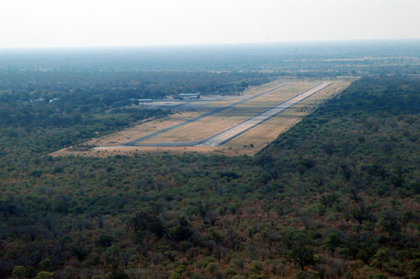
 Crossing the Caprivi Highway on approach to Katima's Mpacha Airport |
 Katima Mulilo Airport (Mpacha), Namibia (FYKM) |
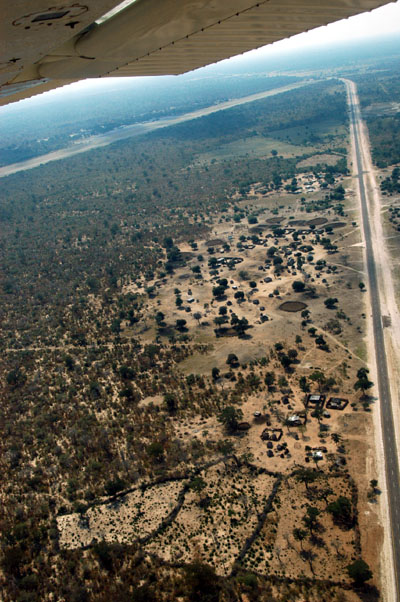
 Caprivi Strip |
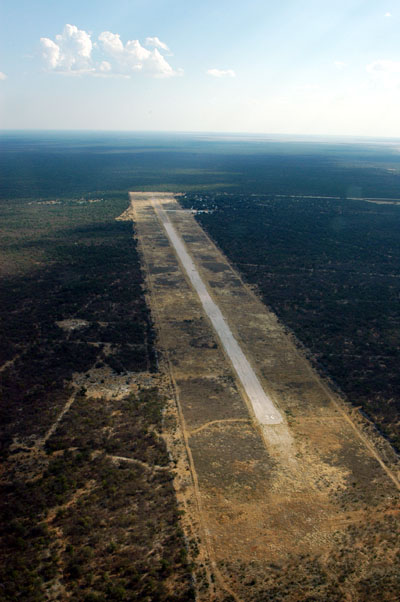
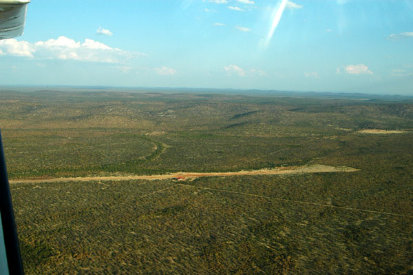
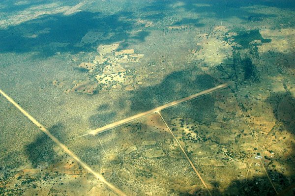 Small airstrip mid-Caprivi |
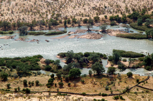
 Okavango River, Namibia |
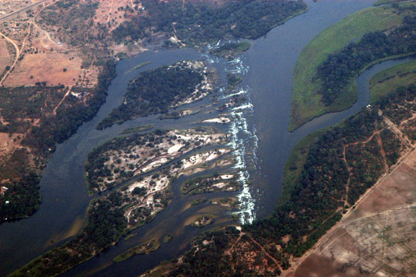 Popa Falls, Okavango River |
 Okavango River Bridge, Caprivi Strip, Namibia |
 Airstrip near Popa Falls, Namibia |
 Mokuti Lodge airstrip, Etosha (FYMO) |
 Twee Palms, Fischer's Pan, Etosha National Park |
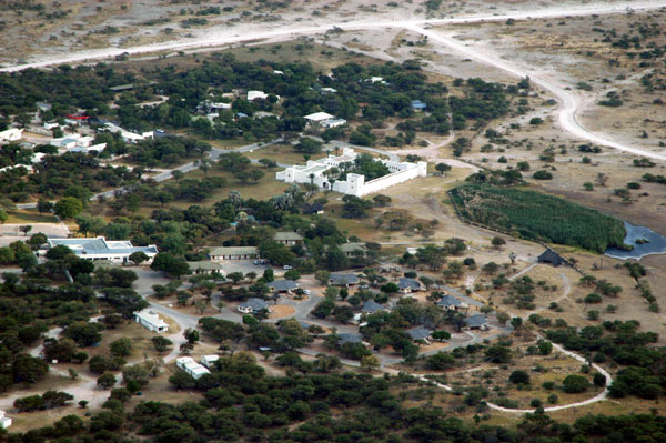 Namutoni Camp, Etosha National Park |
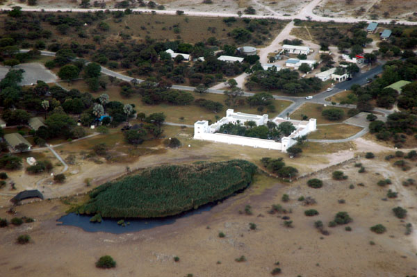 German fort at Namutoni Camp, Etosha National Park |
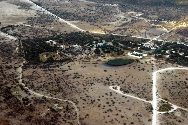 Namutoni Camp, Etosha National Park |
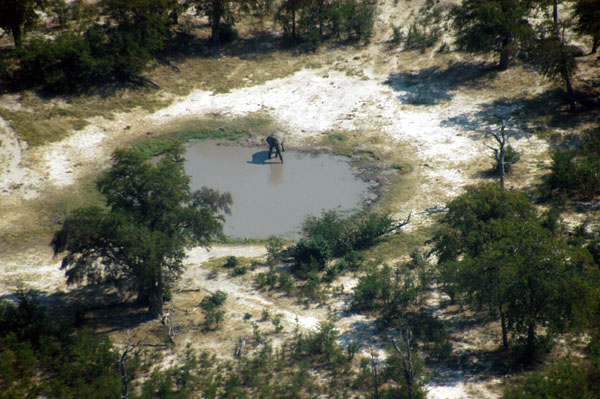
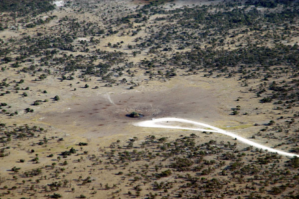 Chudop waterhole, Etosha |
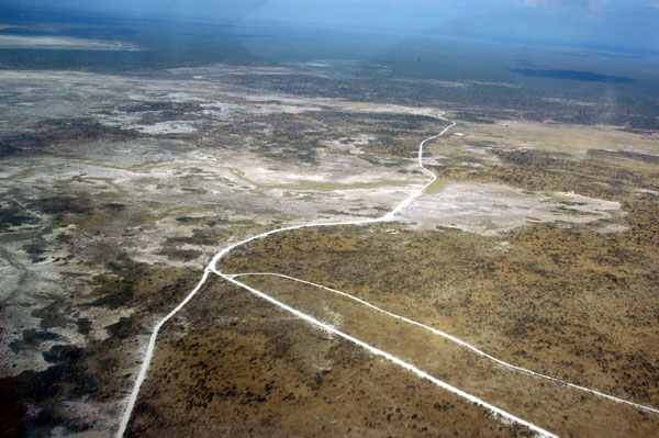
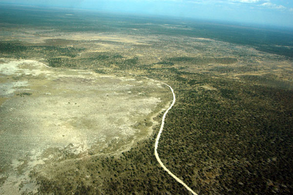
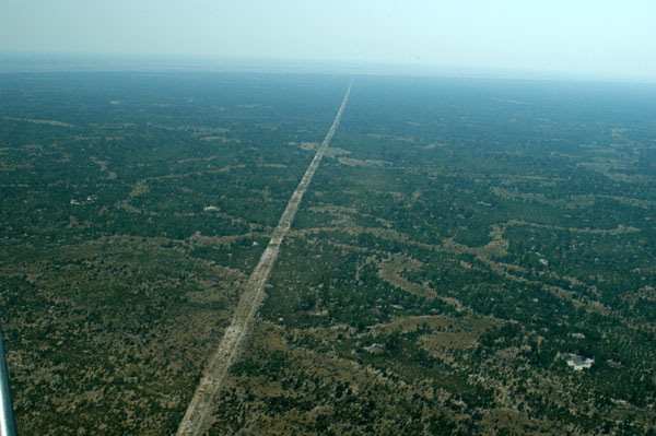
 Main park road along the Etosha Pan between Chudop and Kalkheuwel |
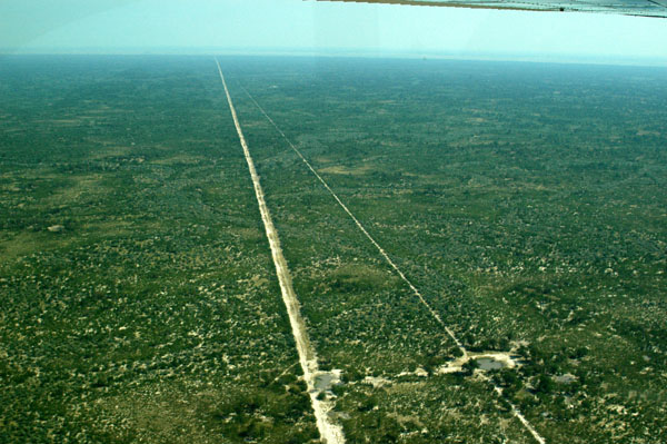
 Main park road at the junction for Okerfontein and Ngobib, Etosha |
 The road to Batia at Springbokfontein |
 Springbokfontein, Etosha National Park |
 A small pan off Eland drive not marked on the tourist map |
 Eland Drive, Etosha |
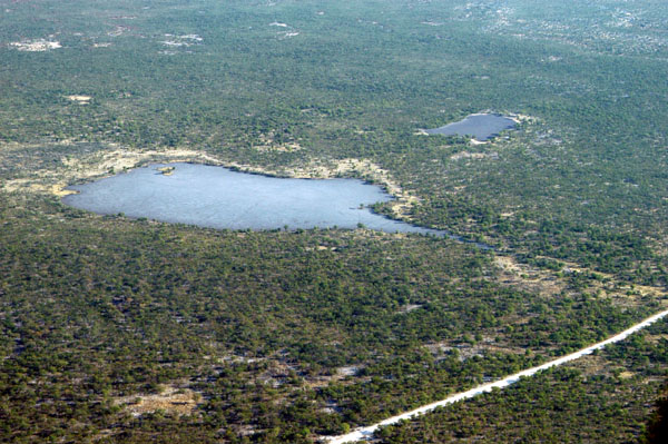
 Small pan at Etosha National Park |
 Goas waterhole near Halali, Etosha National Park |
 Helio Hills, Halali, Etosha National Park |
 Halali Camp, Etosha National Park |
 Waterhole at Halali Camp, Etosha National Park |
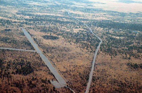 Airstrip at Halali, Etosha National Park |
 Airstrip at Halali, Etosha National Park |
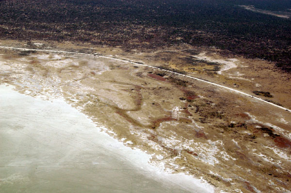
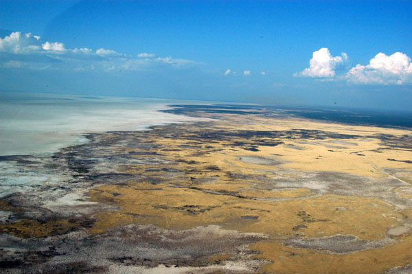
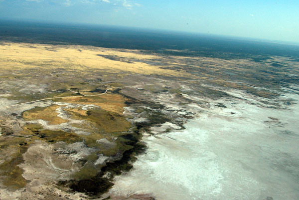
 Along the edge of the Etosha Pan |
 Etosha National Park between Halali and Reitfontein |
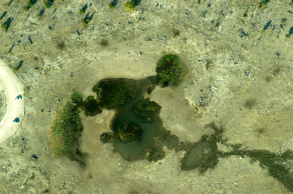
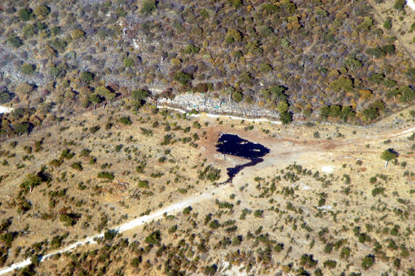
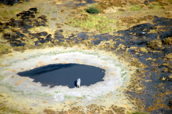
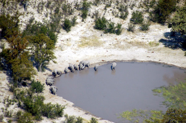
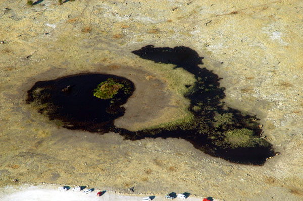 Elephant in the waterhole at Reitfontein |
 Salvadora waterhole, Etosha |
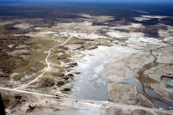
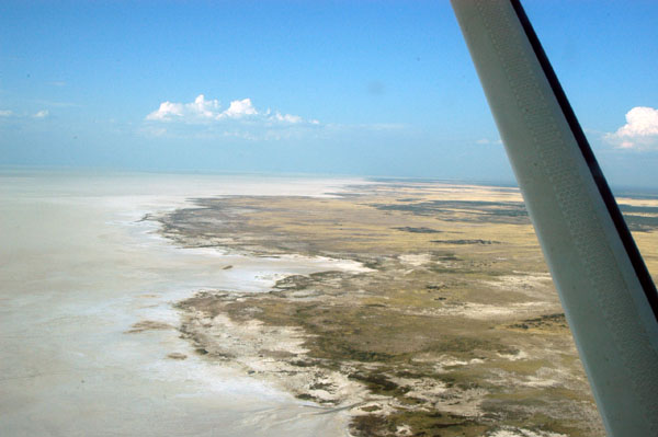
 Etosha pan edge between Salvadora and Sueda |
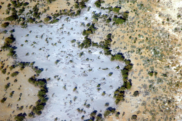
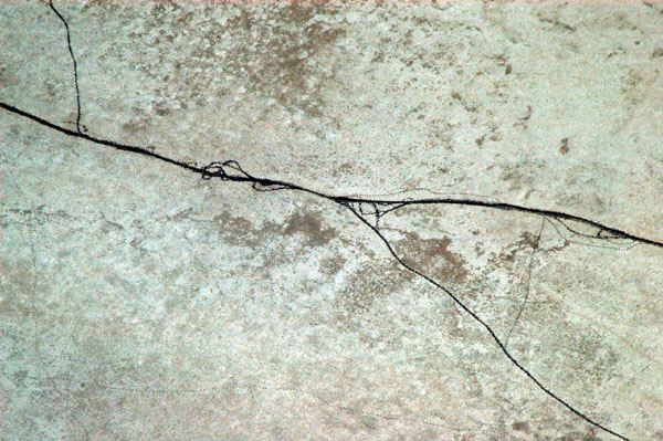 Animal tracks across the Etosha Pan |
 Flying over the pan's edge, Etosha |
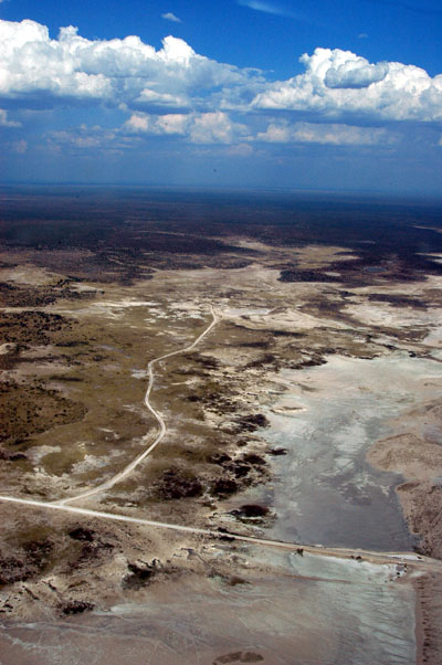
 Western access to Sueda and Salvadora rejoining the main park road |
 Ondongab, Etosha National Park |
 Nebrownii, Etosha National Park |
 Okaukuejo rest camp, Etosha National Park |
 Okaukuejo rest camp, Etosha National Park |
 The famous waterhole at Okaukuejo |
 Okaukuejo |
 Airstrip at Okaukuejo |
 Okaukuejo |
 The southern boundary fence of Etosha National Park near Ongava |
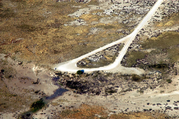
 The airstrip at Naua Naua, south of Etosha |
 The airstrip at Naua Naua (FYNU), Namibia |
 Departing Naua Naua |
 Naua Naua Lodge |
 Crossing the restricted road, western Etosha |
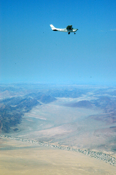
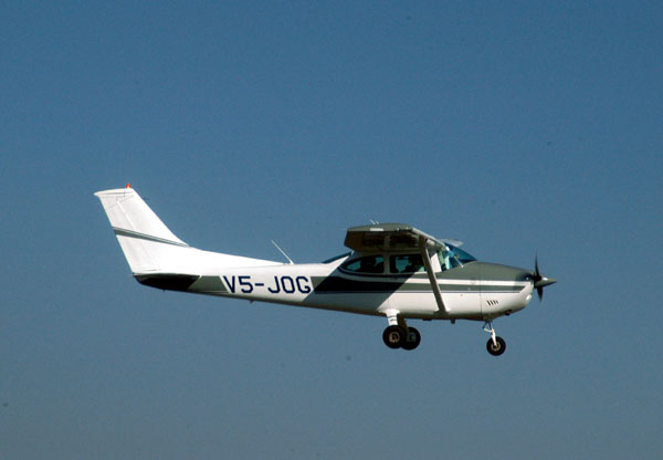
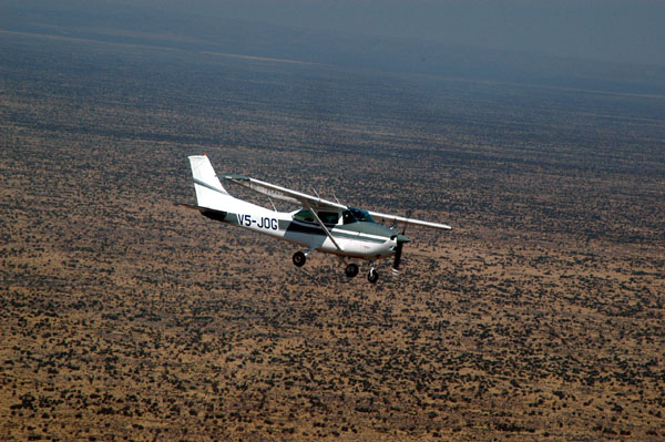 V5-JOG over western Etosha |
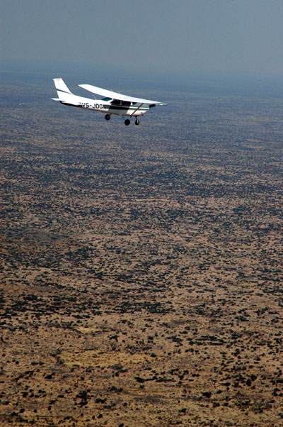 V5-JOG |
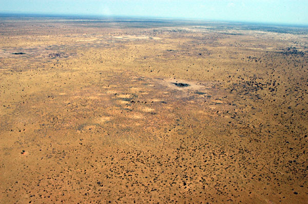 Owomboland, north of Etosha, enroute to Epupa Falls |
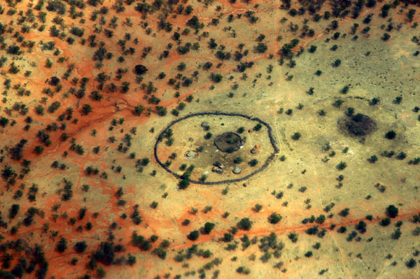
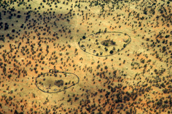
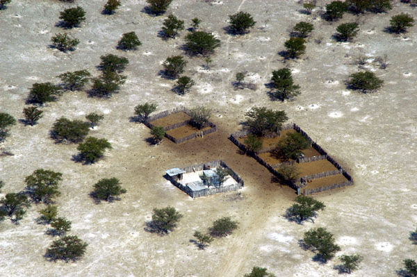 Settlement in Owomboland |
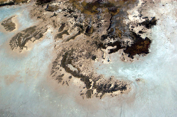
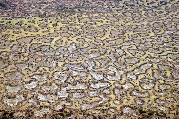
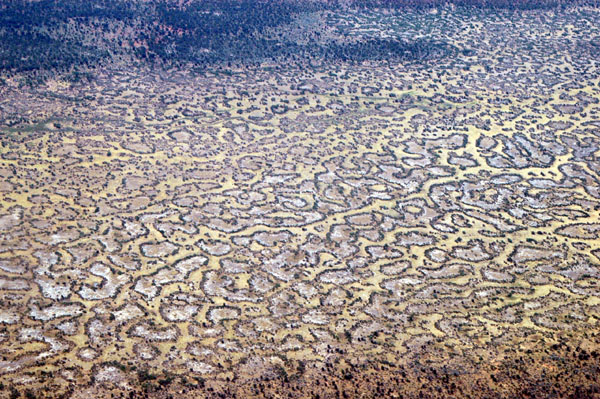 Strange leopard-skin like patterns, Owamboland |
 Owamboland |
 Owamboland |
 Owamboland |
 Owamboland |
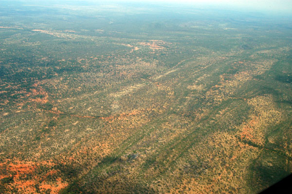
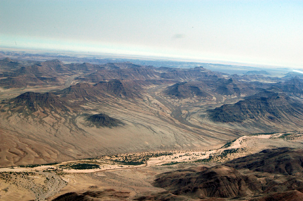
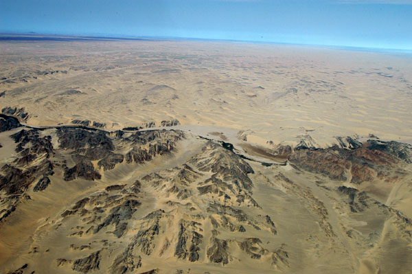
 Leaving the flat lands of Etosha and Owomboland behind us, we enter mountainous terrain |
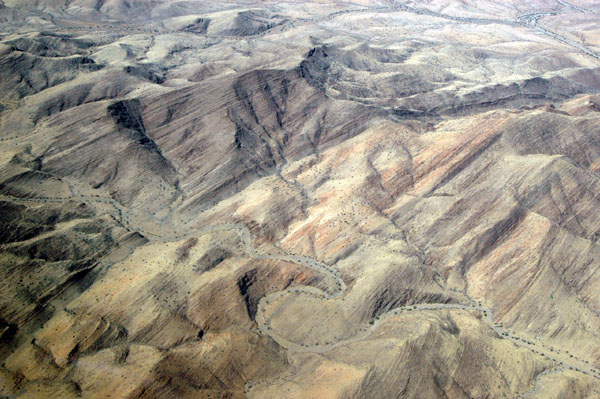
 Mountains of northwestern Namibia |
 NW Namibia |
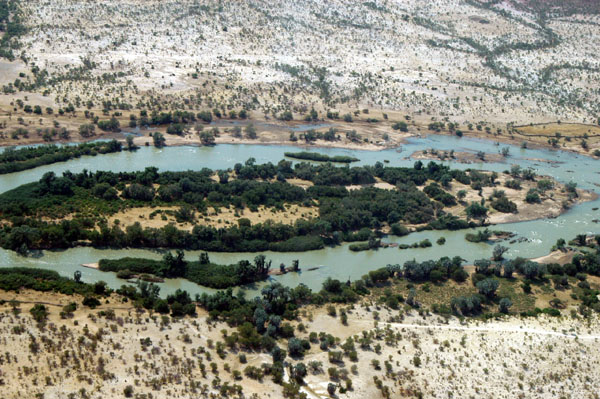
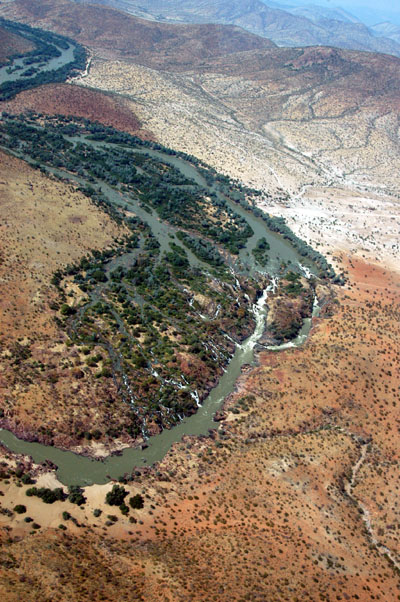
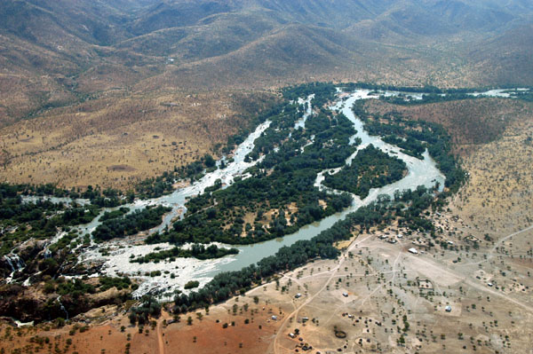
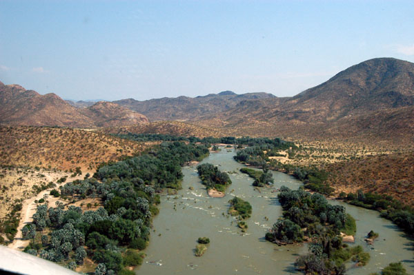
 Ondorusu Falls, Kunene River, Namibia/Angola |
 Village along the Kuene River, Kaokoland, Namibia |
 Headed for Epupa |
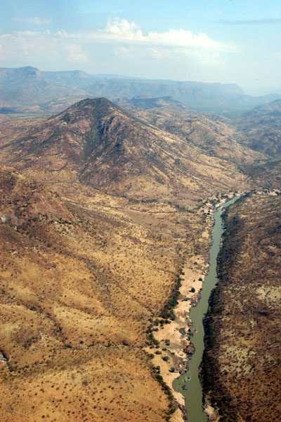
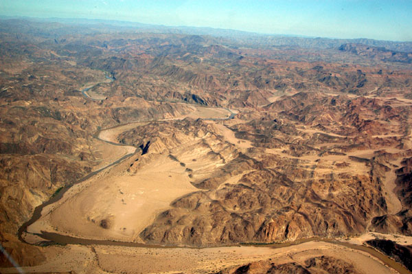
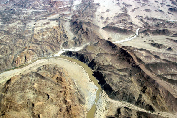
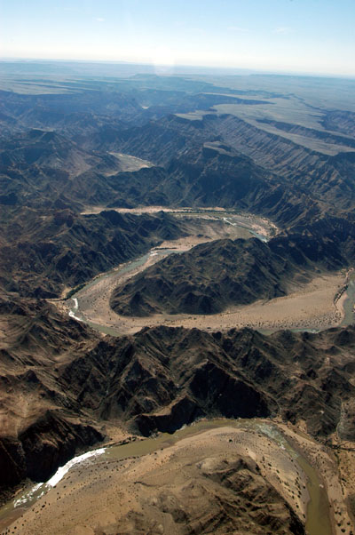
 Kunene River (Rio Cunene) Namibia/Angola |
 Zebra Mountain |
 Kunene River (Rio Cunene) Namibia/Angola |
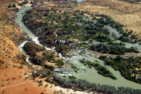
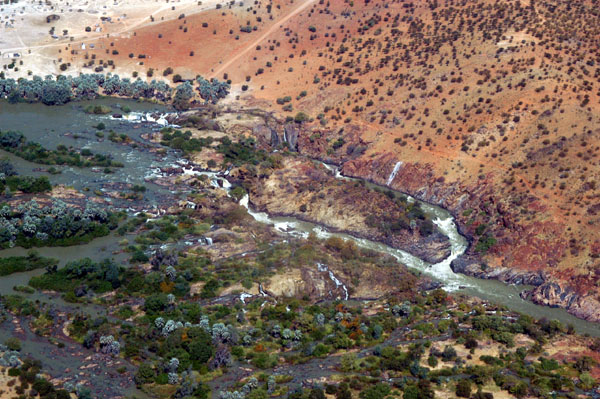 Epupa Falls seen from the Angolan side |
 Epupa Falls |
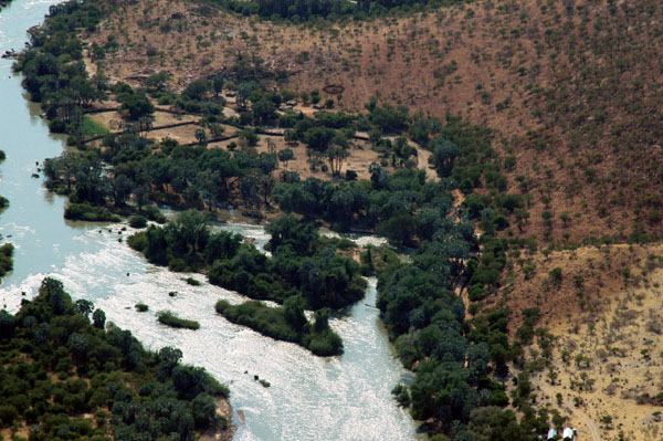
 Epupa Falls (Angola left, Namibia right) |
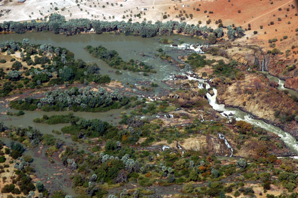
 Kunene River, Epupa Falls |
 Following the Kunene River towards the Atlantic |
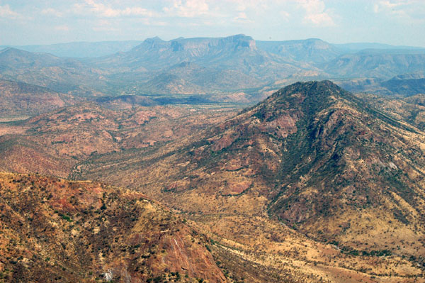 Mountains around Epupa Falls |
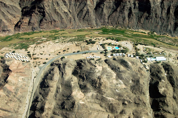
 Epupa Falls airstrip (FYEF-Elev 2500ft, Rwy 11/29, 950m) |
 V5-JOG on the ground at Epupa Falls |
 The mountains around Epupa Falls reach 6800 feet |
 Valley west of Epupa Falls airstrip |
 Epupa Falls airstrip, Namibia |
 Epupa Falls airstrip |
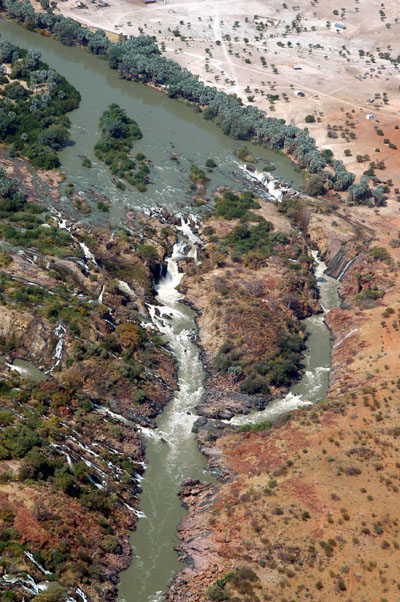
 Kunene River at Epupa Falls, separating Angola and Namibia |
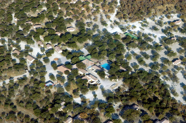
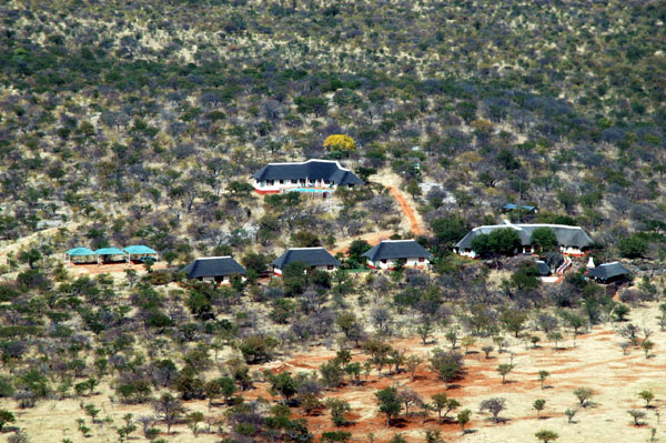
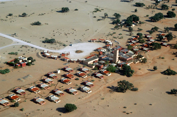
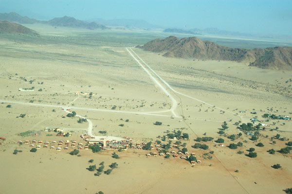
 The Epupa Camp is hidden among the trees |
 Epupa Falls |
 Low level pass over the Epupa Camp, Kunene River |
 Flying together from Epupa Falls to Opuwo, Namibia for fuel |
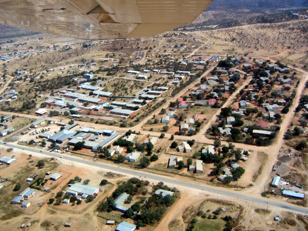
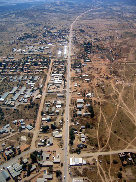 Opuwo, Namibia |
 Departing Opuwo for the coast |
 Opuwo Airport, Namibia (FYOP) |
 Flying between Opuwo and the Skeleton Coast |
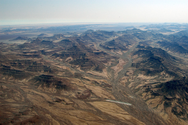
 Tonnesenberge, Kaokoveld |
 Toennesenberge, Kaokoveld |
 Toennesenberge, Kaokoveld, between Opuwo and Mowe Bay |
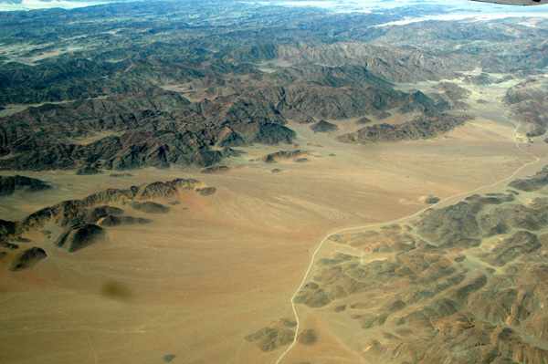
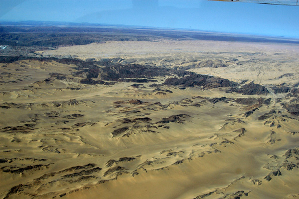
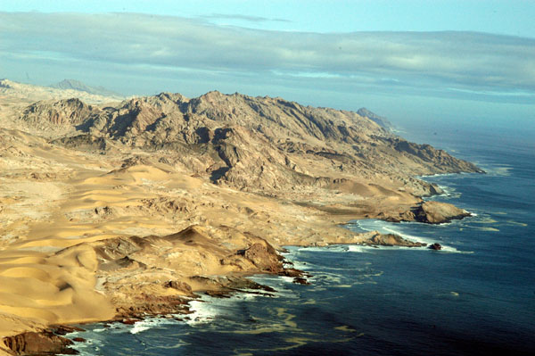
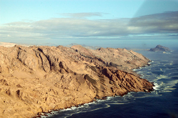
 Kaokoveld |
 Kaokoveld |
 Kaokoveld |
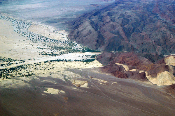
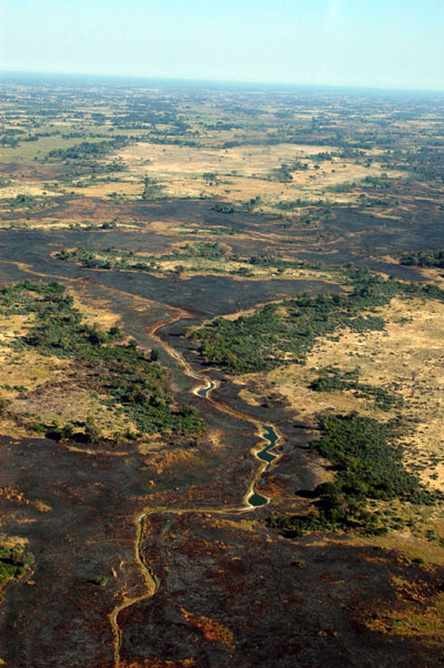
 The Hoarusib, a dry river valley, near the Skeleton Coast |
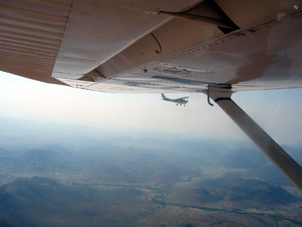
 Flying over NW Namibia |
 Kaokoveld |
 This type of area is where the desert elephants of Namibia live |
 A dirt track to the Skeleton Coast |
 Dry valleys, Kaokoveld, Namibia |
 Dirt track around the Hoarusib |
 Hoarusib Valley |
 Mountains give way to sandy desert nearing the coast |
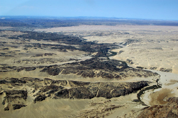 Hoarusib Valley |
 Sandy desert nearing the coast |
 Seasonal Hoarusib River, Skeleton Coast, Namibia |
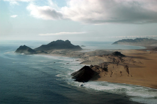
 Skeleton Coast, Namibia |
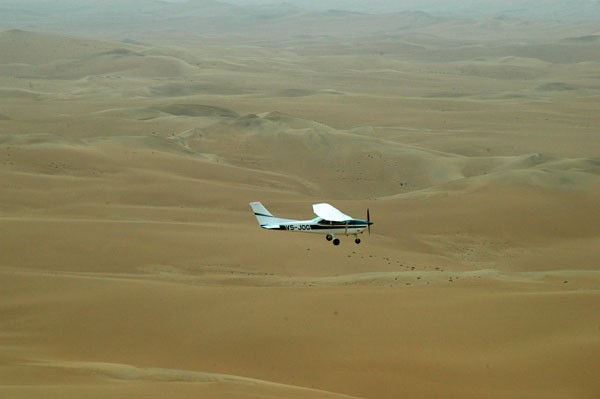 V5-JOG flying over the Namib Desert |
 Sesriem Canyon, Namib-Naukluft National Park |
 Sesriem Canyon |
 Sesriem Canyon |
 Airstrip at Sossusvlei Lodge (FYSU), not to be confused with Sesriem (FYSS) |
 Sossusvlei Lodge from the air |
 Sossusvlei Lodge and the road to Sesriem Canyon |
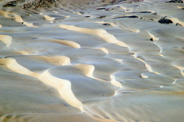
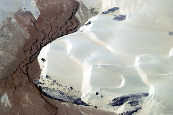
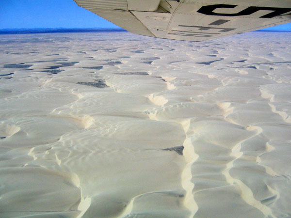
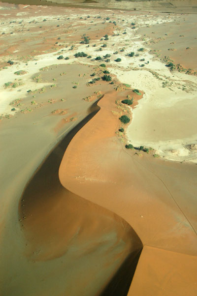
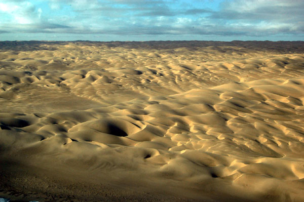
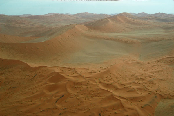 Namib Desert |
 Dunes along the road from Sesriem to Sossusvlei |
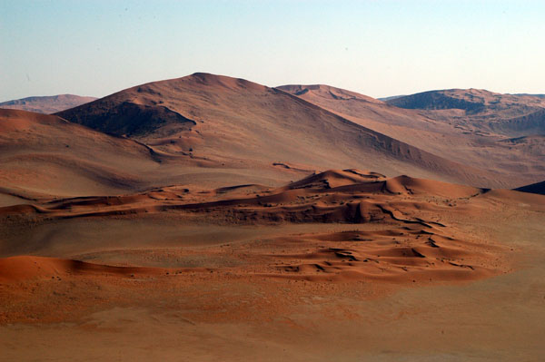
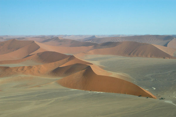
 Large dunes between Sesriem and Sossusvlei |
 Large dunes between Sesriem and Sossusvlei |
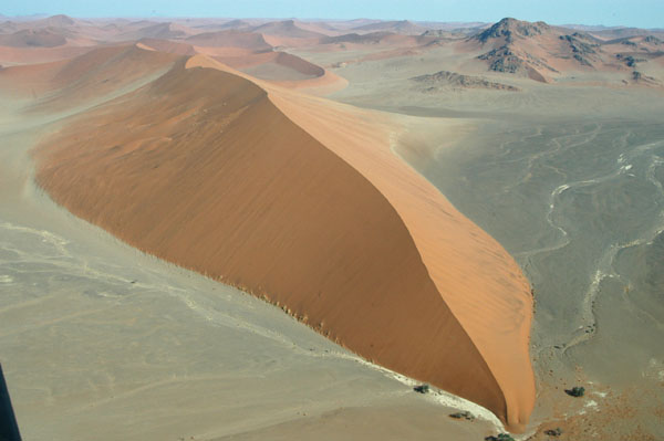
 Dune 45 |
 Dune 45 |
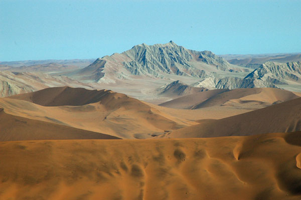 Mountain south of Sossusvlei |
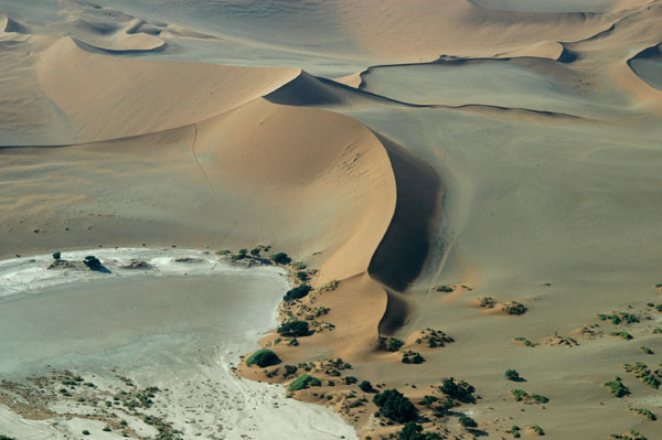
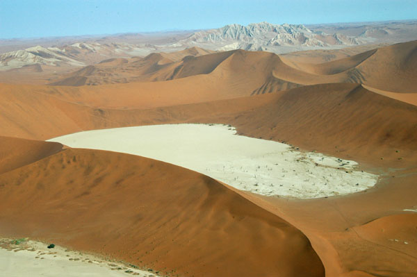 Dead Vlei |
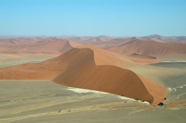
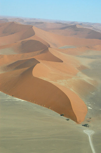
 The dune we climbed at Sossusvlei |
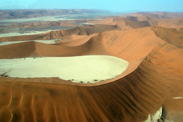
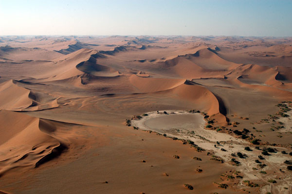 Sossusvlei is a dry pan in the middle of the Namib Desert |
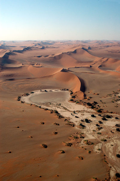 Sossusvlei |
 The dune we climbed at Sossusvlei |
 Sossusvlei |
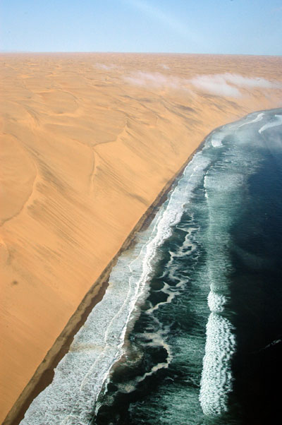
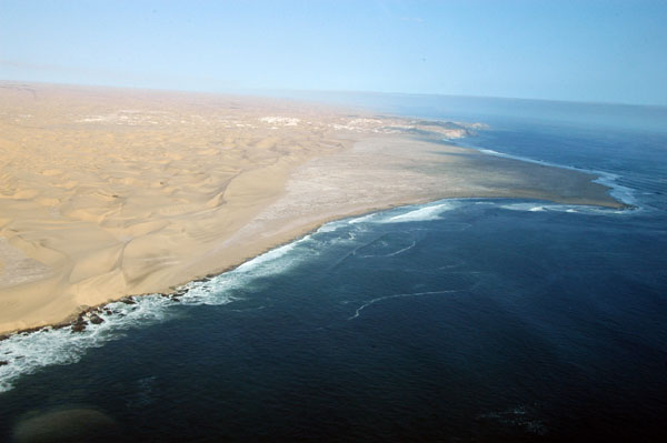
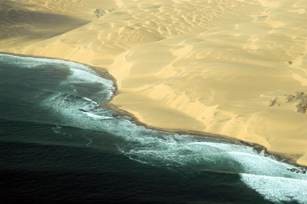
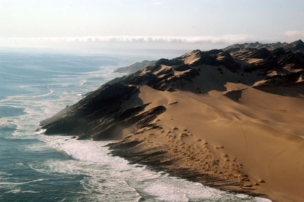
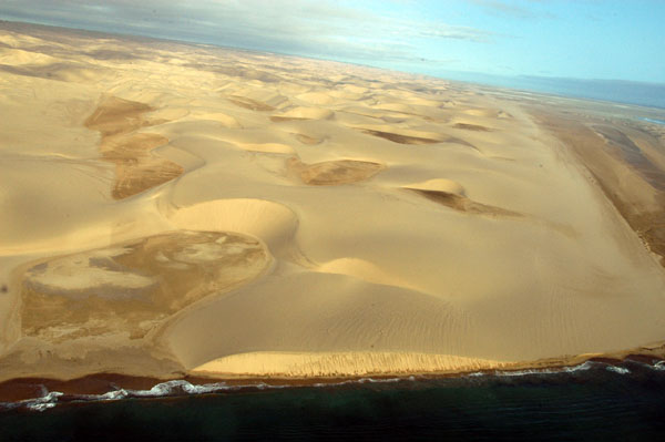
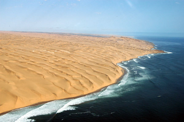 The Namib Desert meets the Atlantic |
 The Lange Wand, or Long Wall |
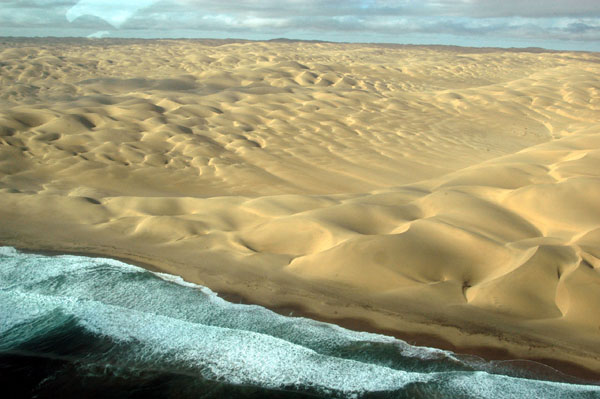
 The Namib Desert meets the Atlantic Ocean |
 Rocky outcropping, St. Francis Bay (25 07S) |
 Coast of Francis Bay, Namibia |
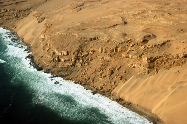 Coast of Francis Bay, Namibia |
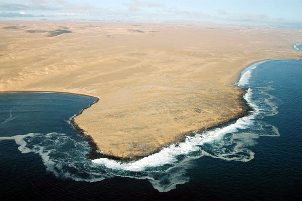
 Easter Point, Namibia (25 17S) |
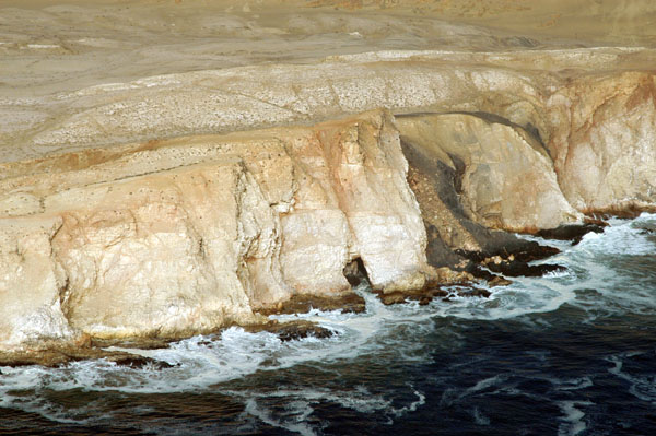 A sea cave along the Oyster Cliffs, Namibia |
 Black Cliffs, Namibia |
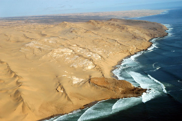
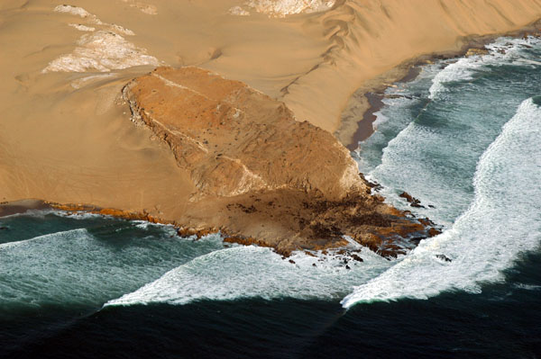
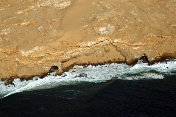
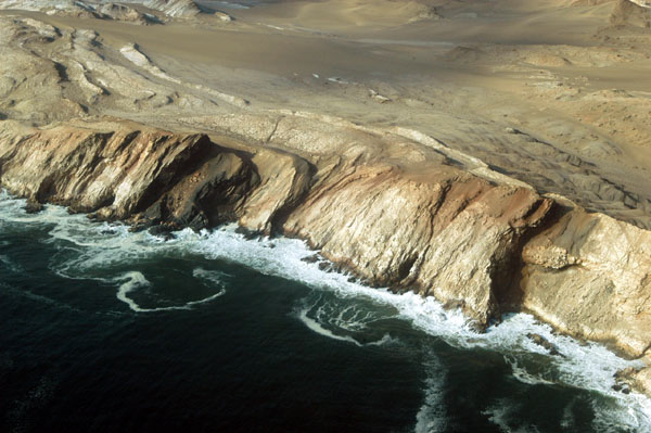
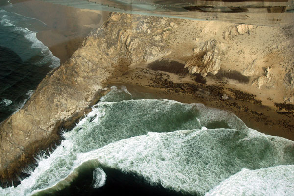
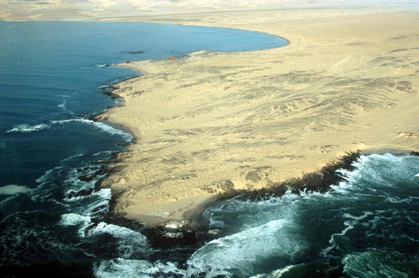
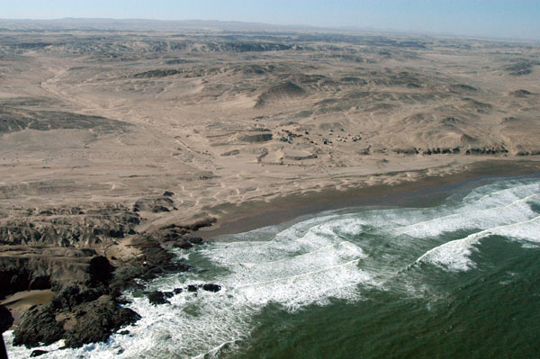
 Sandy stretch of coast between St. Francis Bay and Spencer Bay |
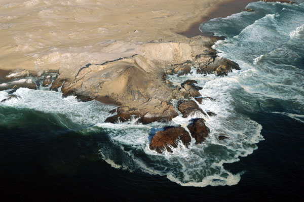
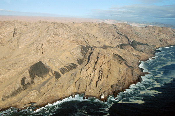
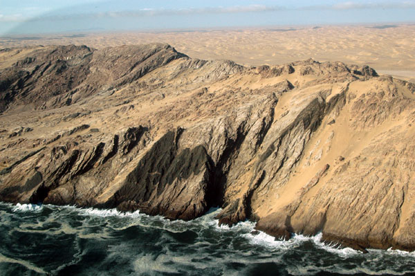
 Inhospitable coastline |
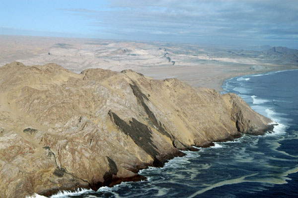
 Namibian coast |
 Just north of Spencer Bay |
 Interesting dark area along the cliffs |
 Cliffs north of Spencer Bay, Namibia |
 Cliffs north of Spencer Bay, Namibia |
 Cliffs meeting the sandy desert at Spencer Bay |
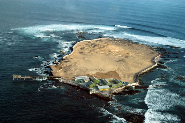
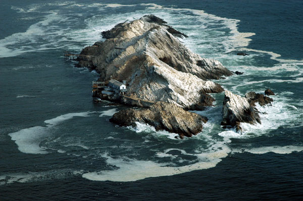 Mercurcy Island, Namibia (25 43S) |
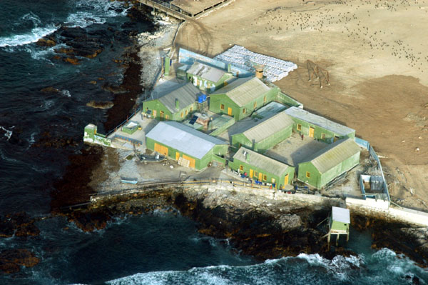
 Mercurcy Island, one of Namibia's penguin islands |
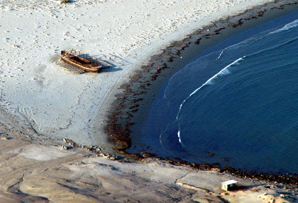
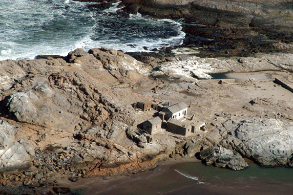
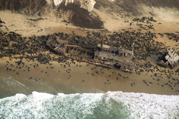 Wreck of the Otavi, 1945, surrounded now by a fur seal colony at Spencer Bay |
 The cove containing the wreck of the Otavi |
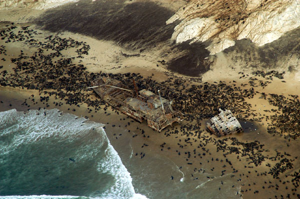 The stern has broken off the Otavi |
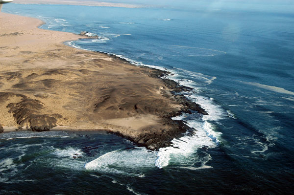
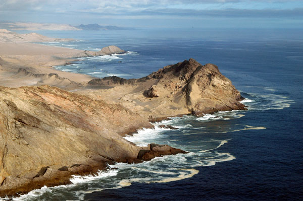 Dolphin Head, Namibia (25 44S) |
 Dolphin Head, Namibia, looking north towards Spencer Bay |
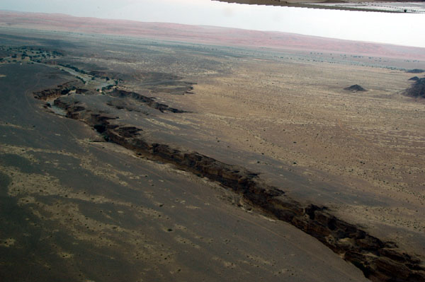
 Remote outpost in the Sperrgebiet around 55nm north of L�deritz, perhaps Saddle Hill |
 Namib Desert at Hottentotbaai |
 Namib Desert at Hottentotbaai |
 Namib Desert at Hottentotbaai |
 Hottentotspunt and Hottentotsbaai, Namibia |
 Hottentotspunt, Namibia (26 08'S) |
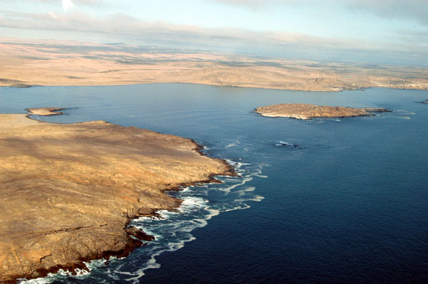
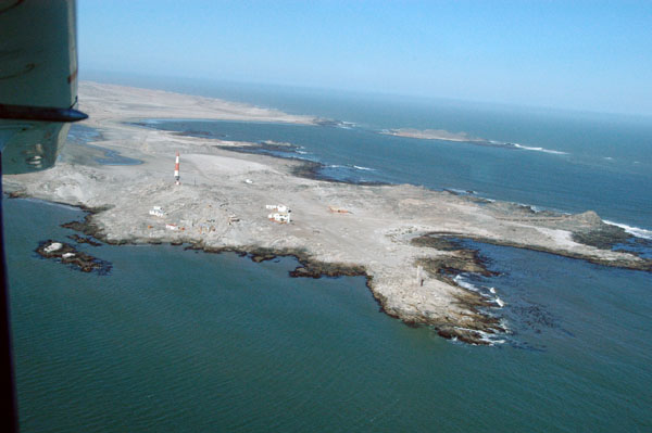
 Ichaboe Island south of Hottentotspunt |
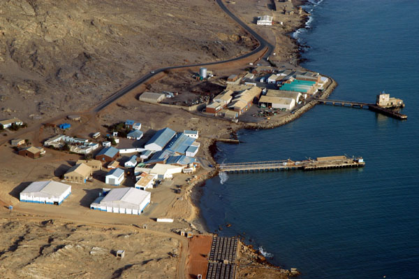
 Industrial buildings for the guano mine on Ichaboe Island |
 Bootsbaai |
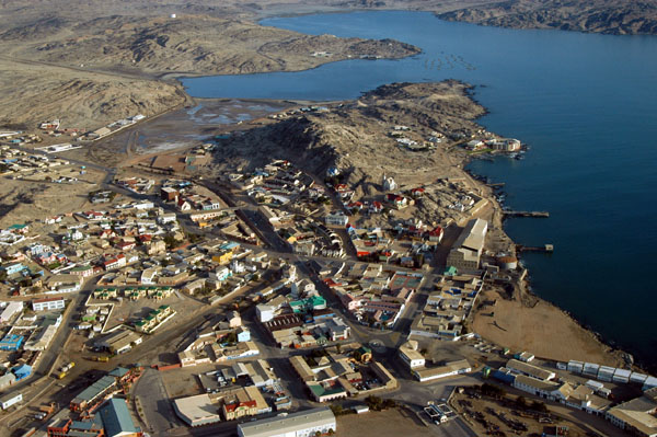
 North end of L�deritzbaai |
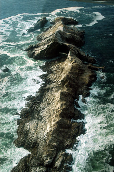
 Small wreck just north of L�deritz |
 Civilization approaching L�deritz from the north |
 Settlement on the northern edge of L�deritz |
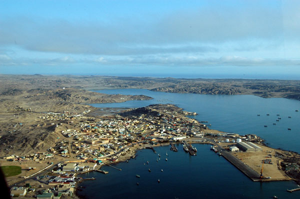
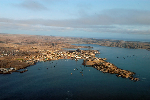 L�deritzbucht |
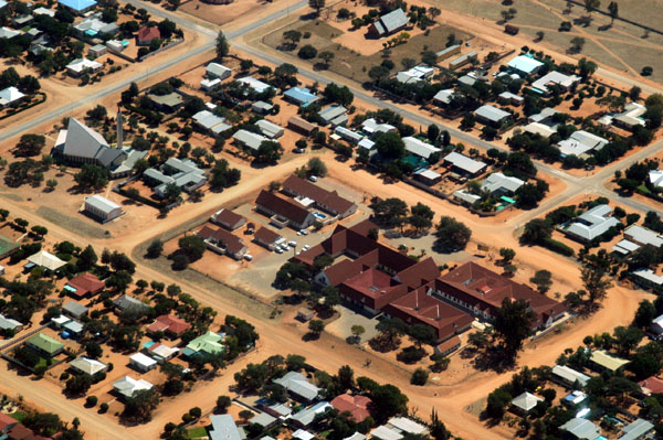
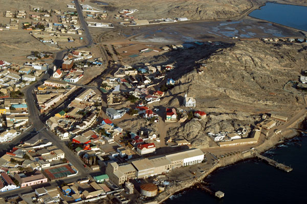
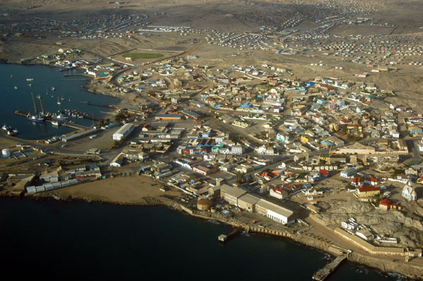
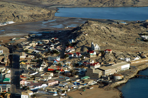
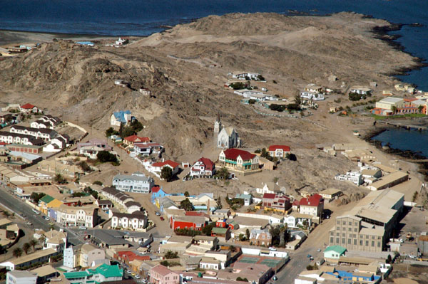
 L�deritz, Namibia |
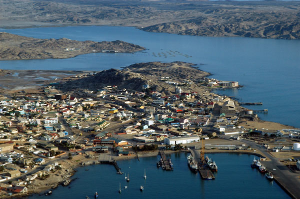
 L�deritz |
 L�deritz |
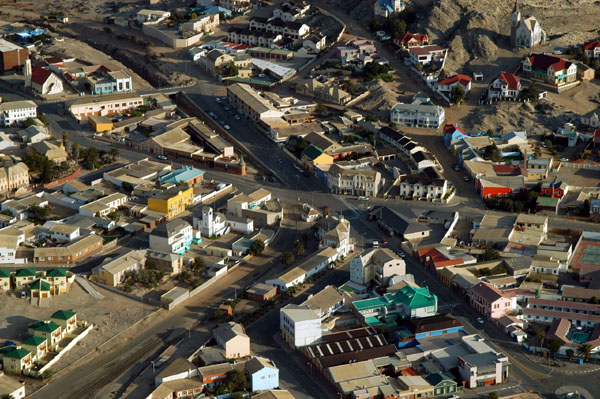 L�deritz |
 L�deritz |
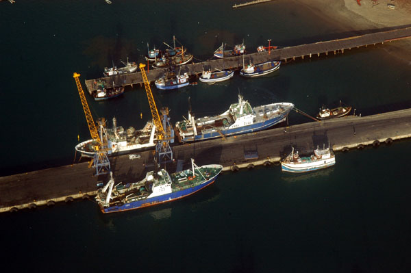 Ships docked at L�deritz |
 L�deritz, Namibia |
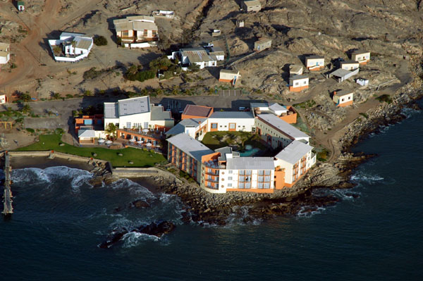 Nest Hotel, L�deritz |
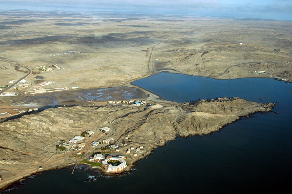 Southern end of L�deritzbucht |
 L�deritz |
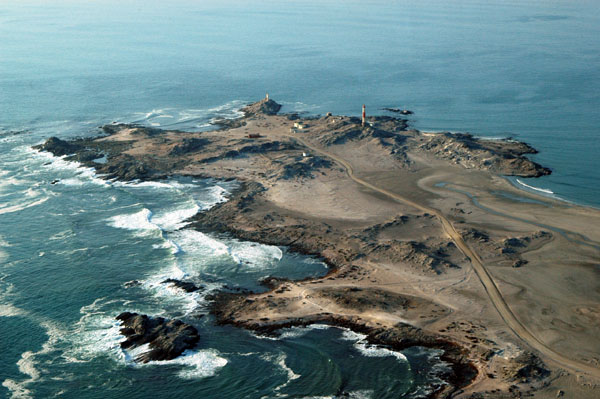 Diaz Point, Namibia (Dias Point for the Portugugese) |
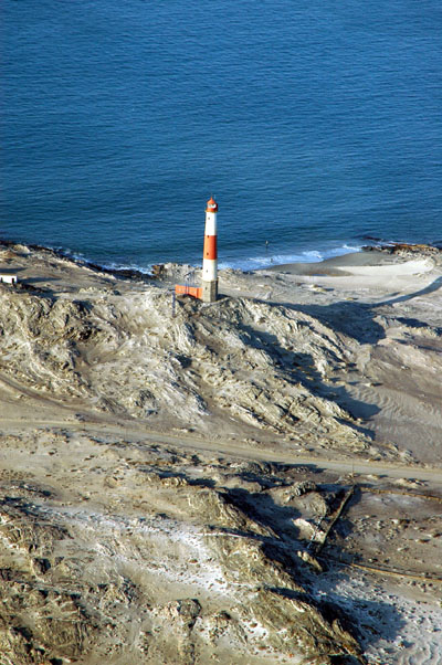 Diaz Point lighthouse |
 Another pass over L�deritz before landing |
 L�deritz |
 L�deritz International Airport (FYLZ) |
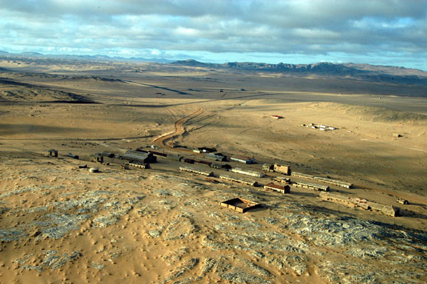
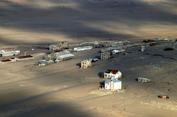 Kolmanskuppe is near the L�deritz Airport |
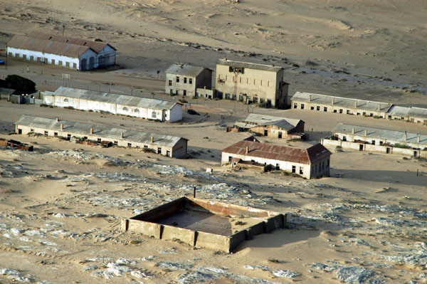 Kolmanskuppe ghost town from the air |
 Kolmanskuppe |
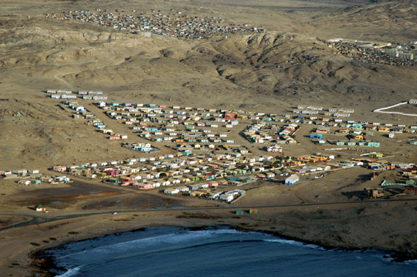
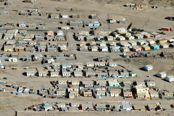 Residential area near L�deritz |
 L�deritz |
 L�deritz |
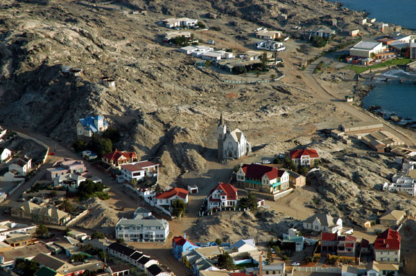
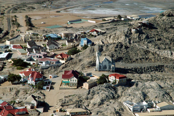 Felsenkirche, L�deritz |
 Rounding Diaz Point |
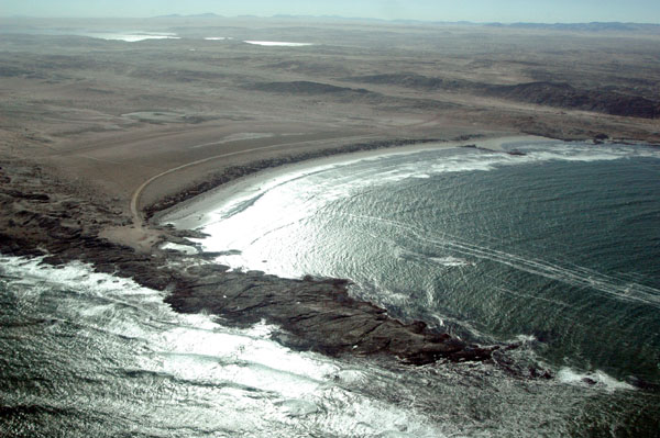 Grosse Bucht, Namibia |
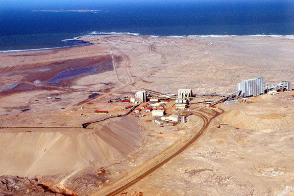
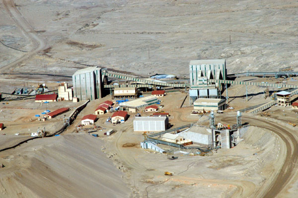
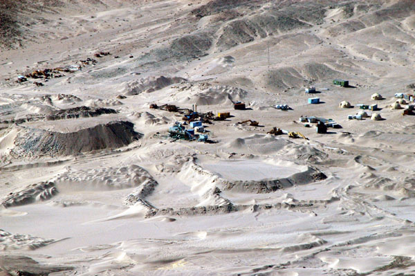
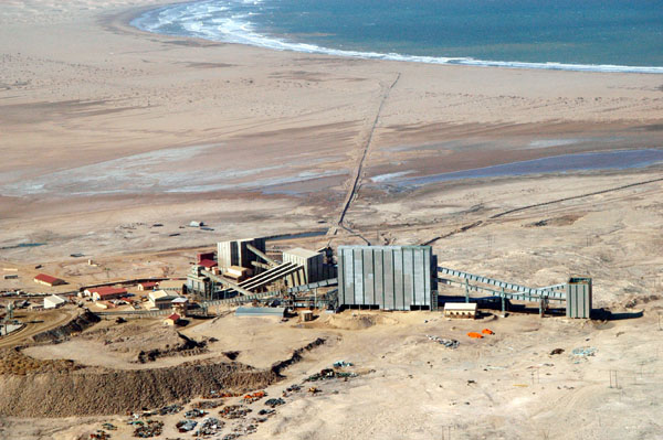 Diamond mine in the Sperrgebiet, Namibia |
 Elizabeth Point, Sperrgebiet |
 Elizabeth Point mine, Sperrgebiet |
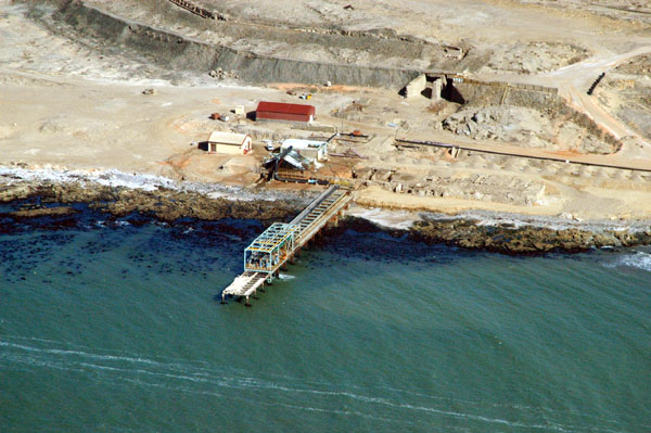 Elizabeth Point, Sperrgebiet |
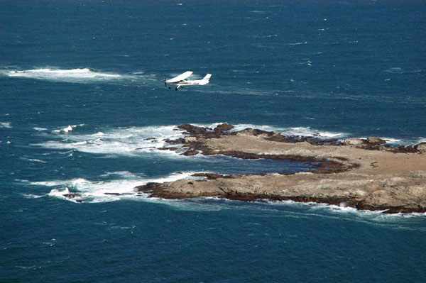 V5-JOG overflying the southern end of Possession Island, Namibia |
 Sperrgebiet |
 Coast of the Sperrgebiet |
 Buildings on a rocky point, Sperrgebiet |
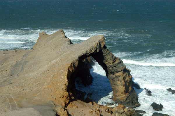 Bogenfels, a major landmark in the Sperrgebiet south of L�deritz |
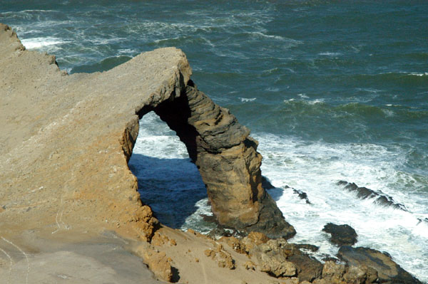 Bogenfels, Namibia |
 Heading inland across the southern Sperrgebiet towards Fish River Canyon |
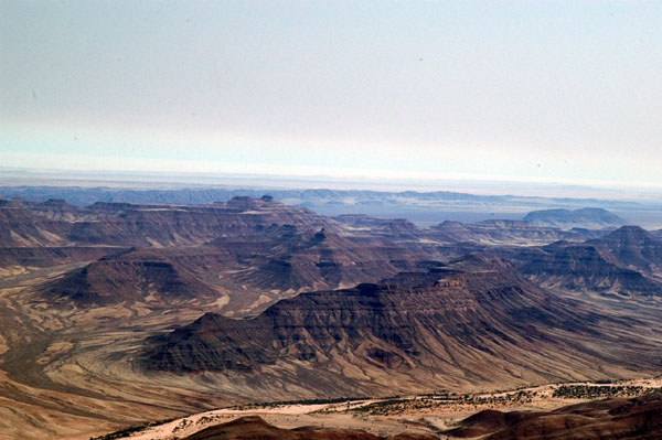
 Sperrgebiet, Namibia |
 Sperrgebiet, Namibia |
 Sperrgebiet, Namibia |
 Sperrgebiet, Namibia |
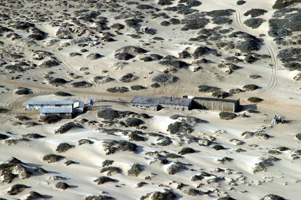
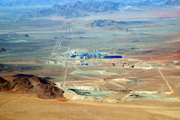 Scorpion Mine on the edge of the Sperrgebiet |
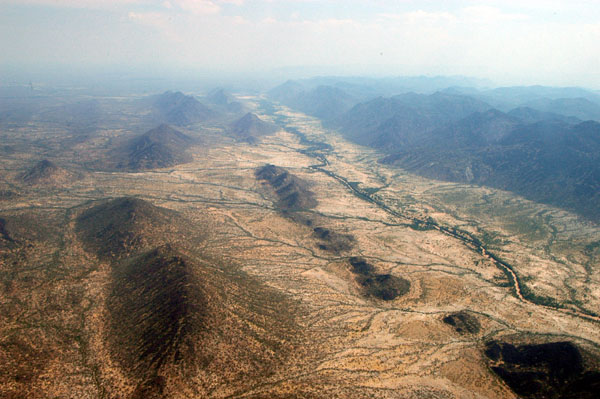
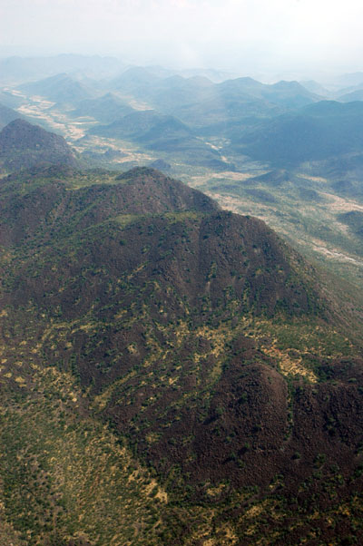
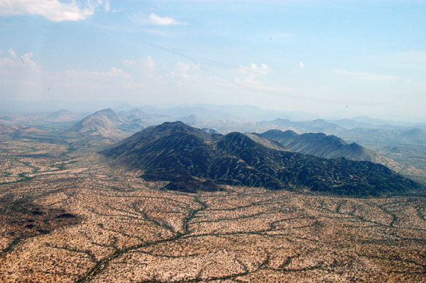
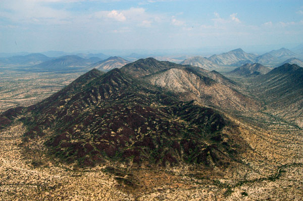
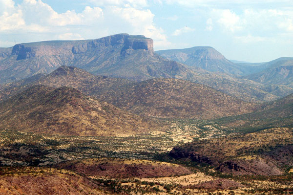
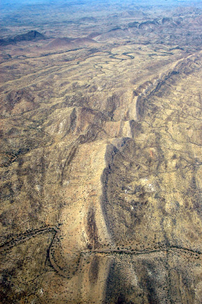
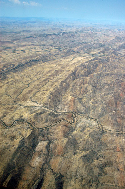
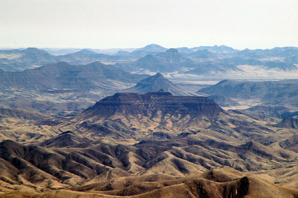
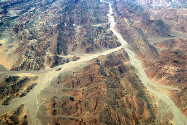
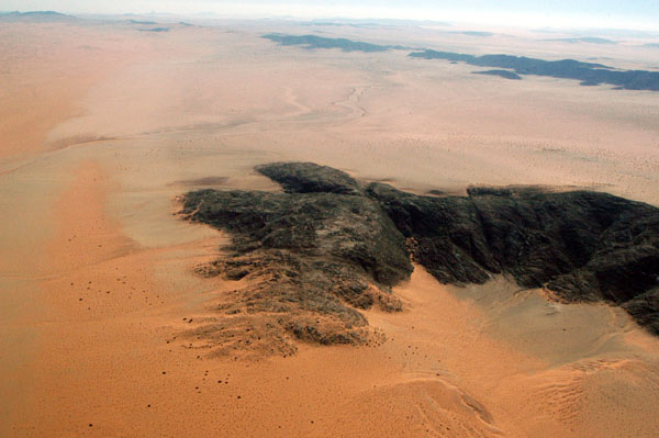
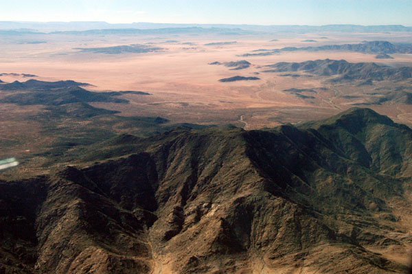
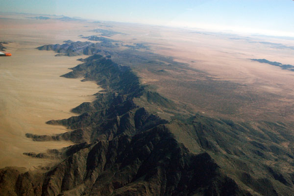
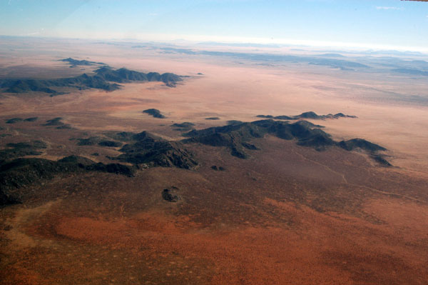
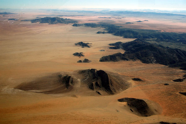
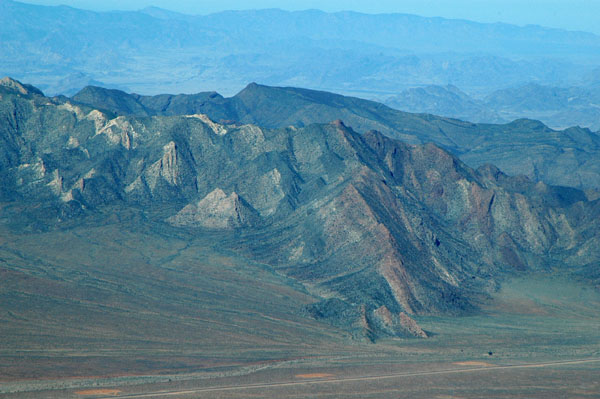
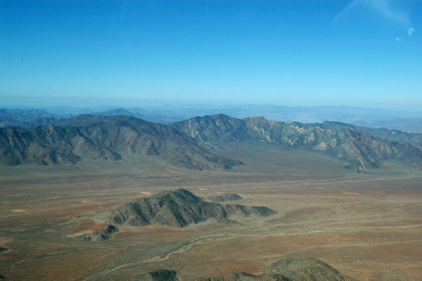
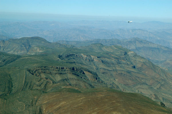
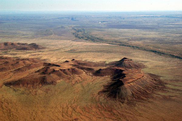
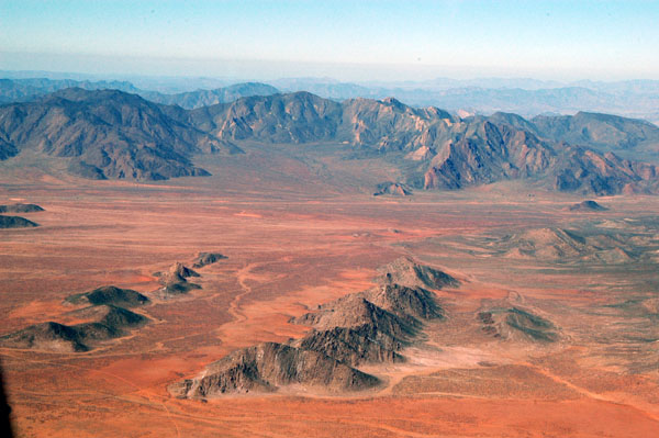 Mountains of Southern Namibia |
 Huib-Hoch Plateau |
 En route from Bogenfels to Ai Ais |
 Southern Namibia |
 Main road outside the Sperrgebiet |
 Mountains of Southern Namibia |
 Following V5-JOG to Fish River Canyon |
 A dry waterfall, Namusberge |
 Highest terrain 5500' |
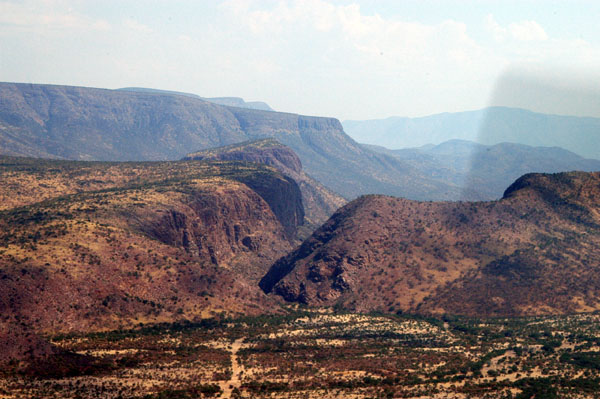
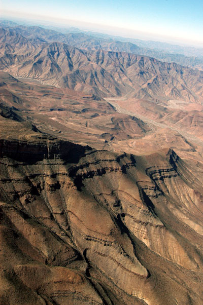
 Mountains west of Fish River Canyon |
 Hunsberge, near Fish River Canyon |
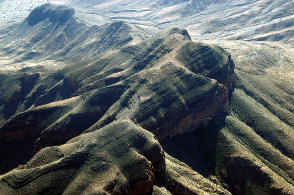 Hunsberge, near Fish River Canyon |
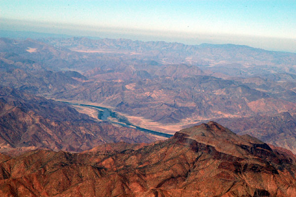 Richtersveld National Park across the Oranje River in South Africa |
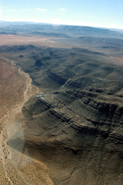
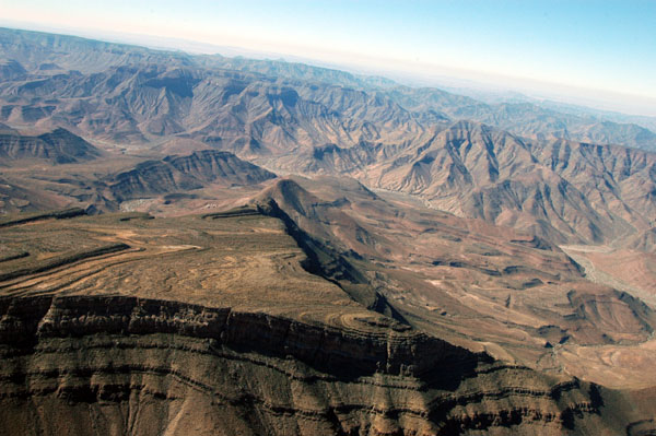
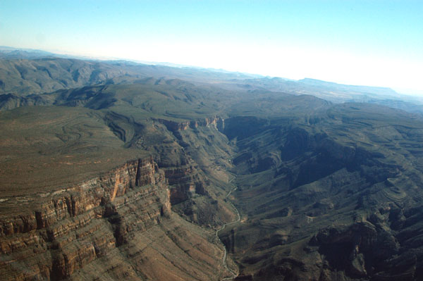
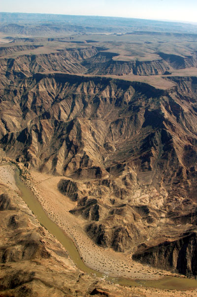
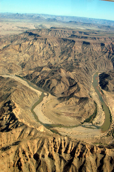
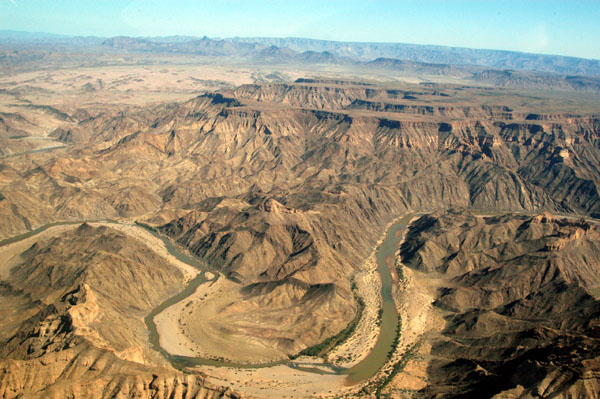
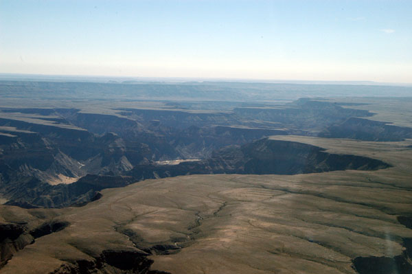
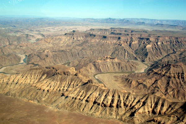
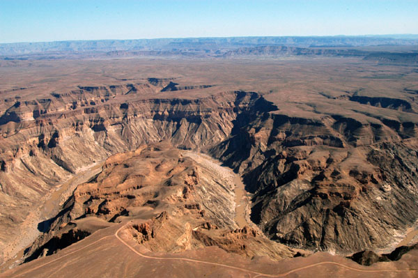
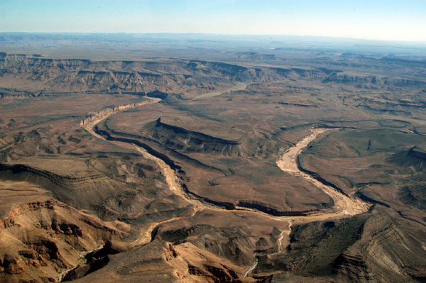
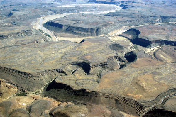
 Fish River Canyon is the largest canyon in Africa |
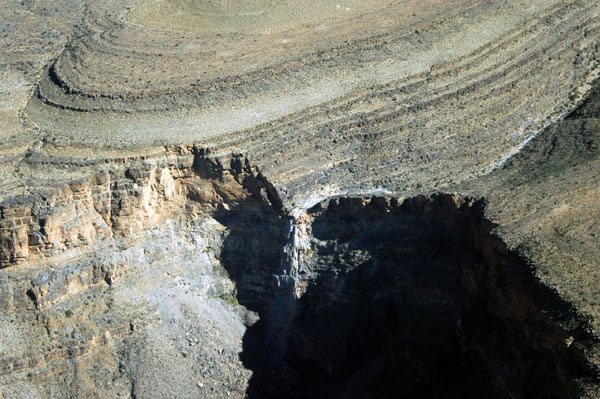
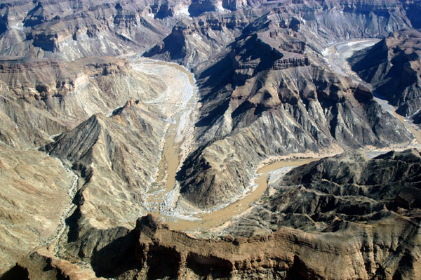
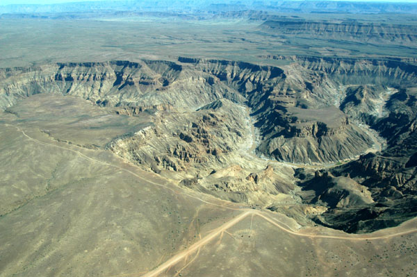
 Fish River Canyon |
 Fish River Canyon |
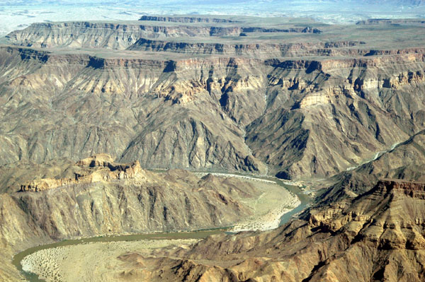
 Fish River Canyon |
 Ai Ais Hot Springs, Namibia |
 Fish River Canyon |
 Fish River Canyon |
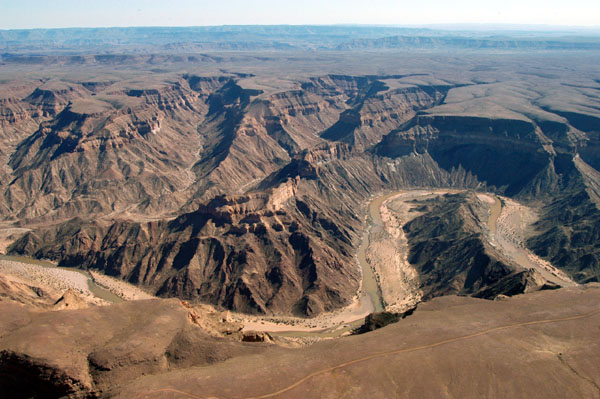
 Fish River Canyon |
 Fish River Canyon |
 Fish River Canyon |
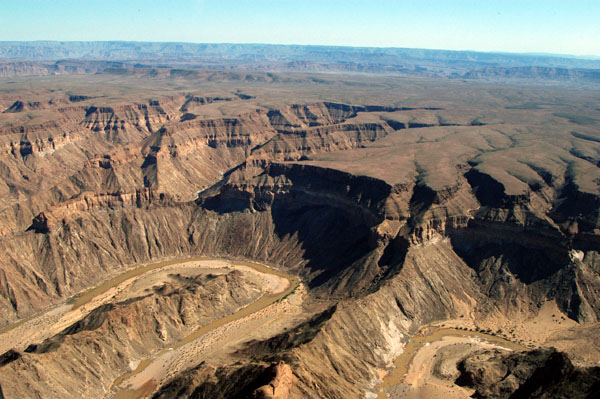
 Fish River Canyon |
 Fish River Canyon |
 Fish River Canyon |
 Fish River Canyon |
 Fish River Canyon |
 Fish River Canyon |
 Fish River Canyon |
 Fish River Canyon |
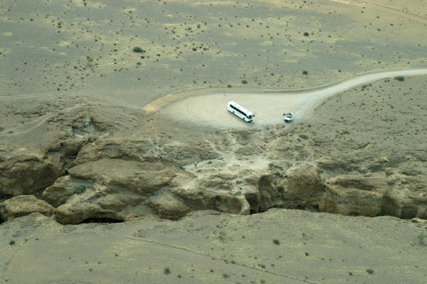
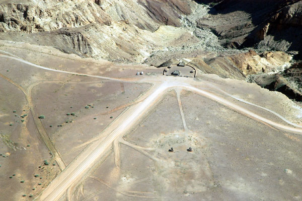 Scenic drive and overlook, Fish River Canyon |
 Road on the eastern rim of Fish River Canyon |
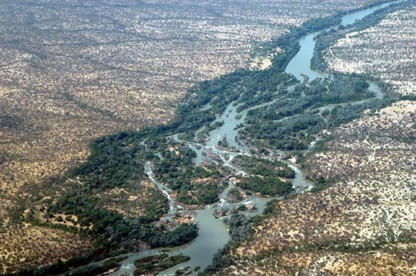
 The Fish River north of the main Canyon |
 Fish River north of the main canyon |
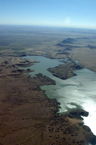 Naute Dam near Keetmanshoop |
 Near Keetmanshoop, Namibia |
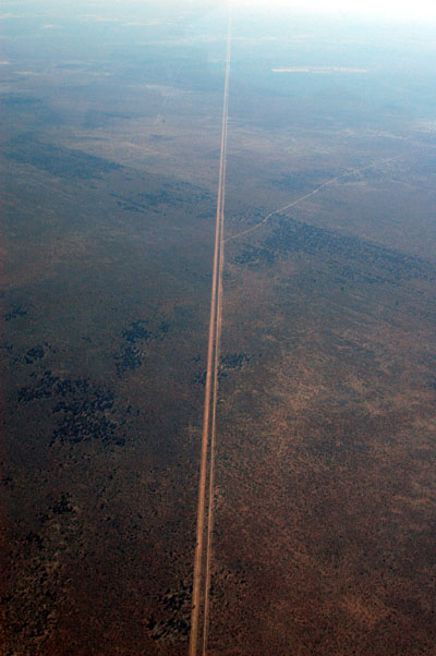
 Bridge along the Keetmanshoop-Windhoek Highway |
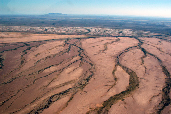 Namaland |
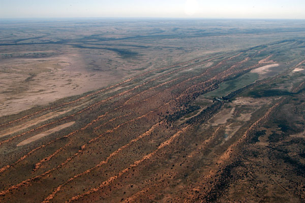 Parallel dunes northeast of Mariental, Namibia |
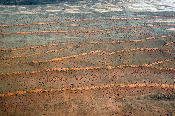 Low parallel dunes of the Namibian Kalahari |
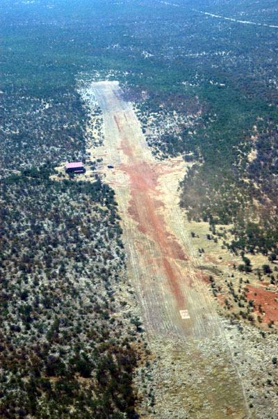
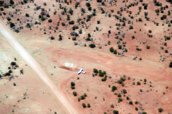
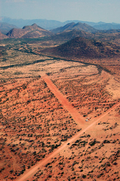
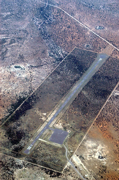
 The worst runway of the trip, Ellingerode, Namibia |
 There's a runway down there |
 Ellingerode |
 Ellingerode |
 One of the dunes passing through Oliphantwater |
 The mountains SE of Windhoek |
 Approaching Windhoek at 8500' MSL |
 Windhoek lies just over that ridge |
 SE of Windhoek |
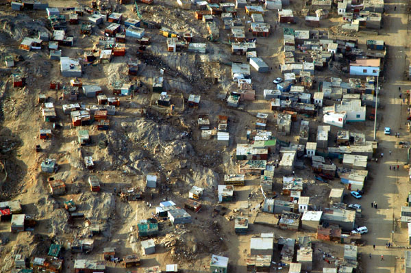
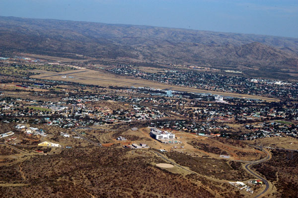
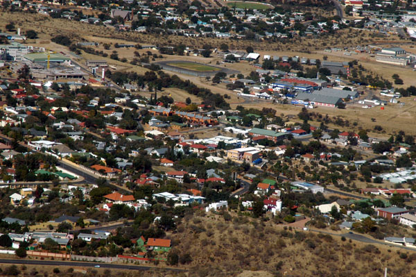
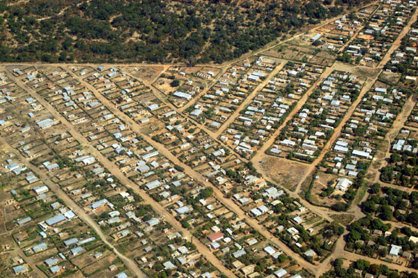
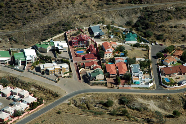 Suburbs of Windhoek, Namibia |
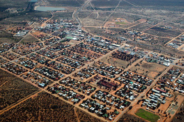
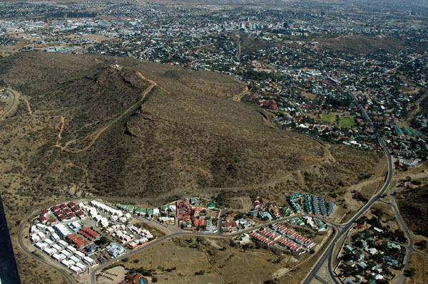 Windhoek, Namibia |
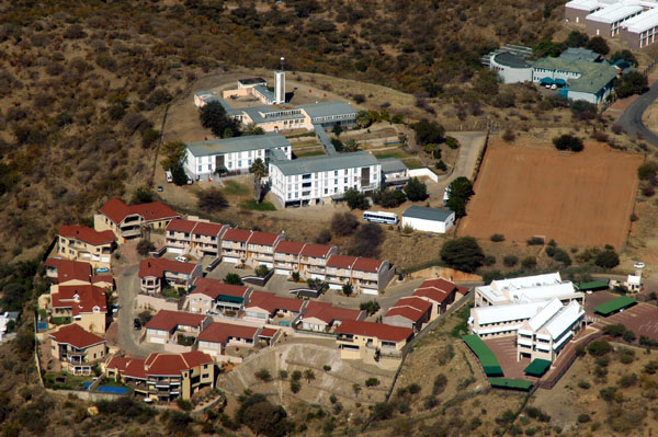
 Eros Airport, Windhoek |
 Eros Airport with the new Presidential Palace |
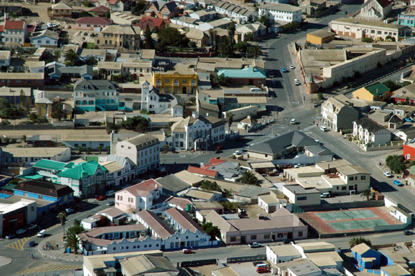
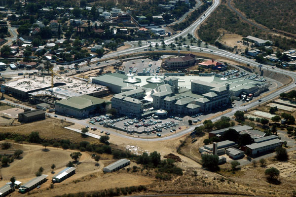
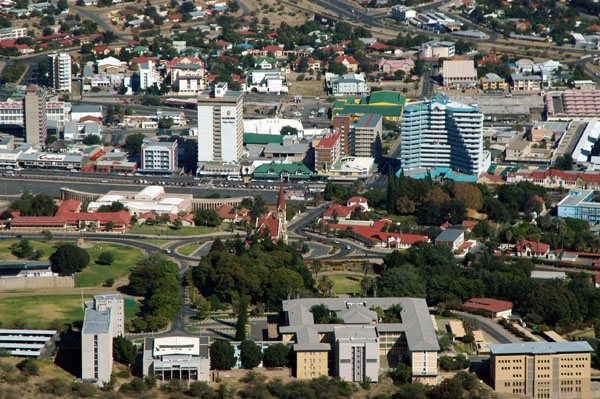 Central Windhoek |
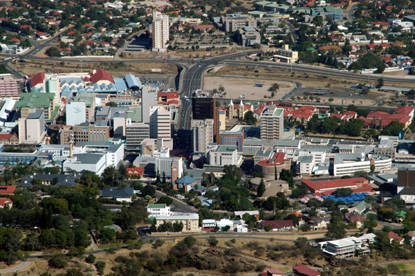 Central Windhoek |
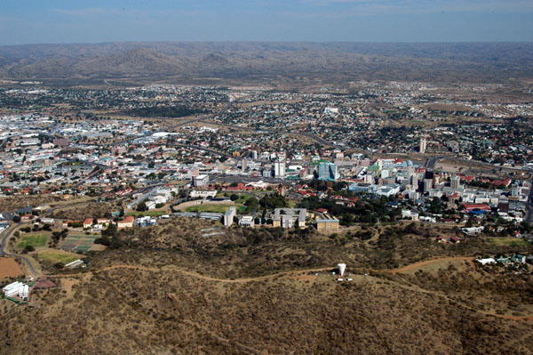 Windhoek |
 Windhoek |
 Heinitzburg, Windhoek |
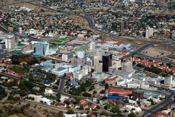 Central Windhoek |
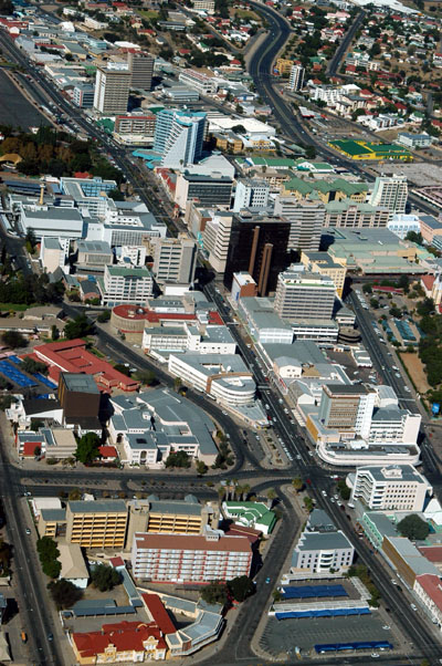 Independence Avenue, Windhoek |
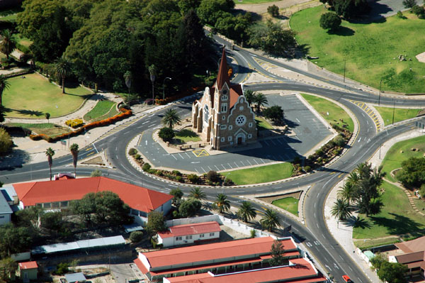 Christuskirche, Windhoek |
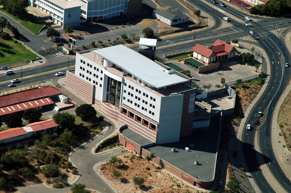 Central Bank of Namibia, Windhoek |
 Shopping mall, Windhoek |
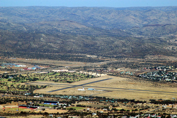
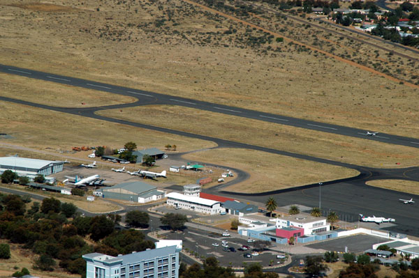 Eros Airport, Windhoek, Namibia (FYWE) |
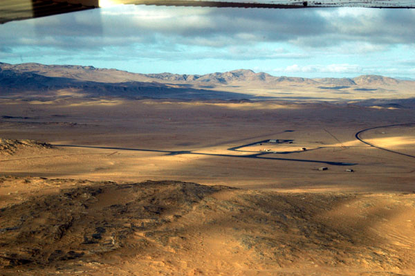
 Mamuno, Botswana (800m), on the Namibian border |
 Veterinary cordon fence, Botswana |
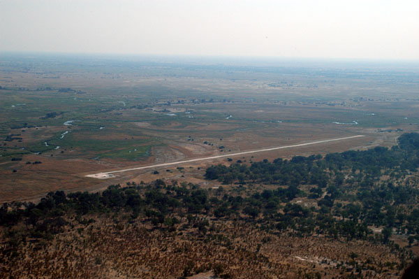
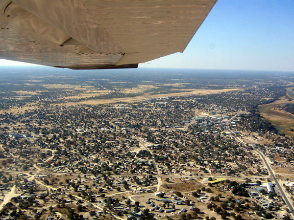 Maun International Airport, Botswana (FBMN) |
 Maun International Airport (FBMN), Botswana |
 Maun |
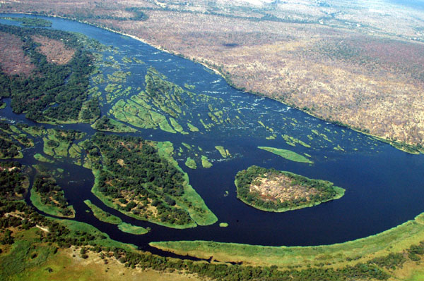
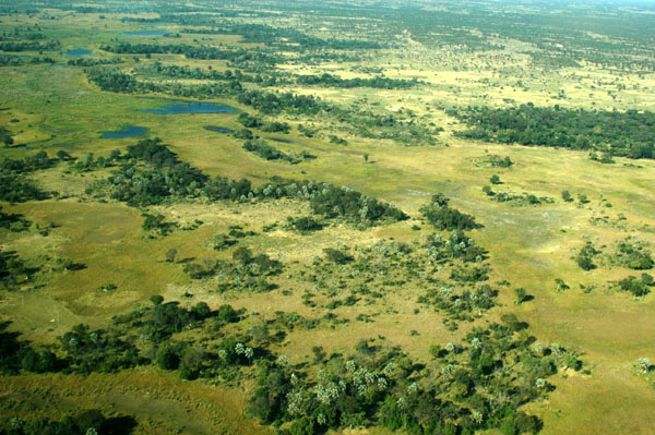
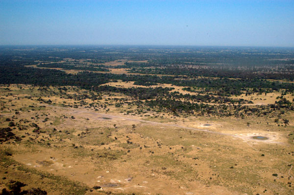
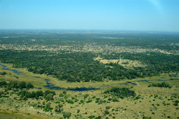
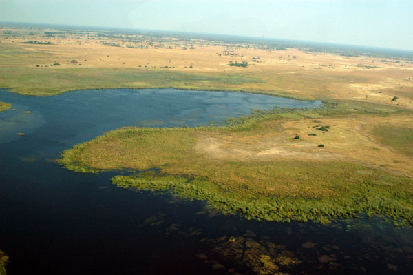
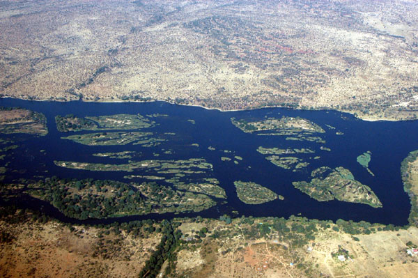
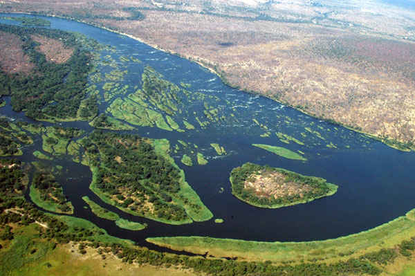
 Okavango Delta |
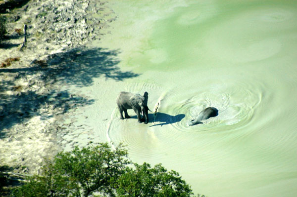
 Our first elephant at a waterhole just north of Maun |
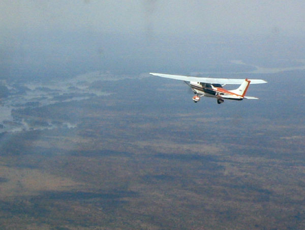
 V5-JOG |
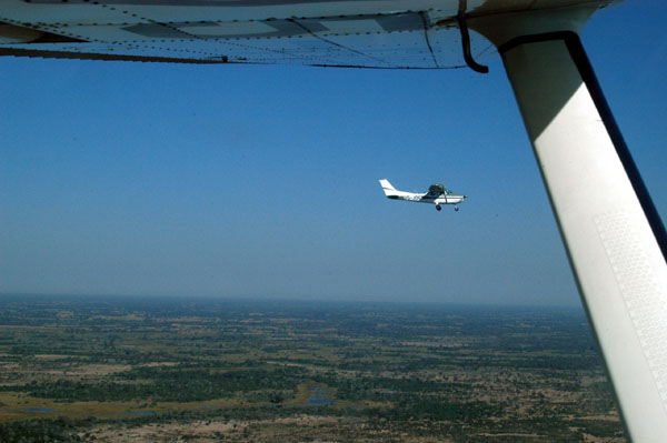 Flying over the Okavango Delta |
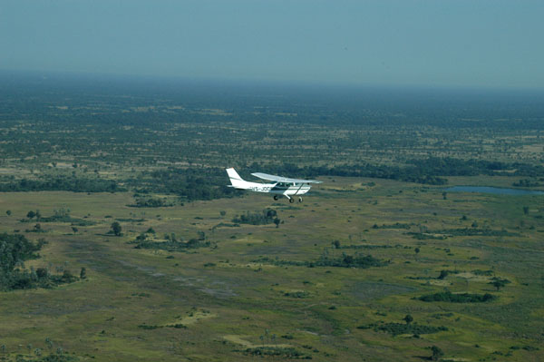 V5-JOG over the Okavango Delta |
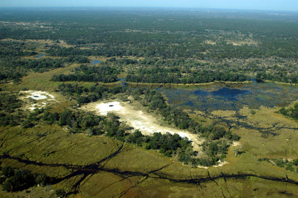
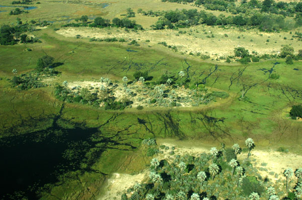
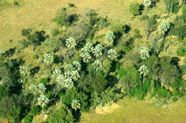 Okavango Delta |
 Okavango Delta |
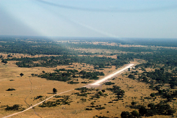
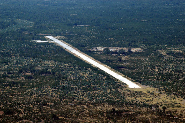
 Santatadibe airstrip (600m), Moremi Game Reserve, Botswana |
 Chief's Island, Moremi Game Reserve |
 Chief's Island, Moremi Game Reserve |
 Chief's Island, Moremi Game Reserve, Okavango Delta, Botswana |
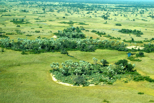
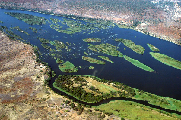
 Okavango Delta |
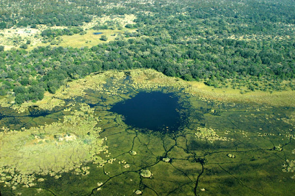 Okavango Delta |
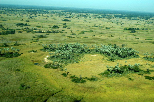
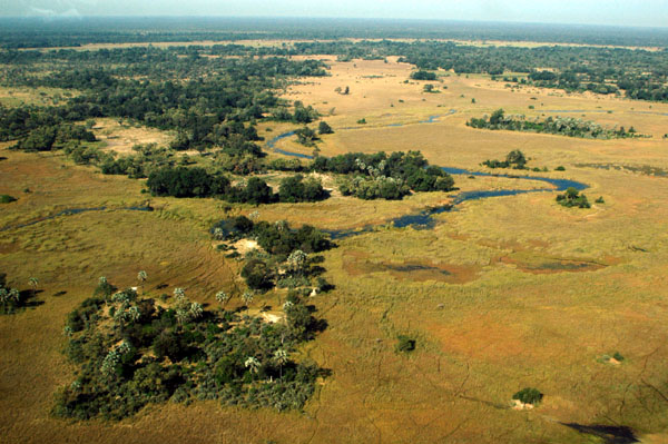 Okavango Delta |
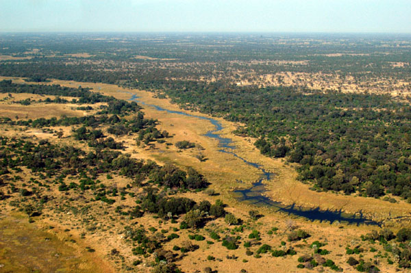
 Okavango Delta |
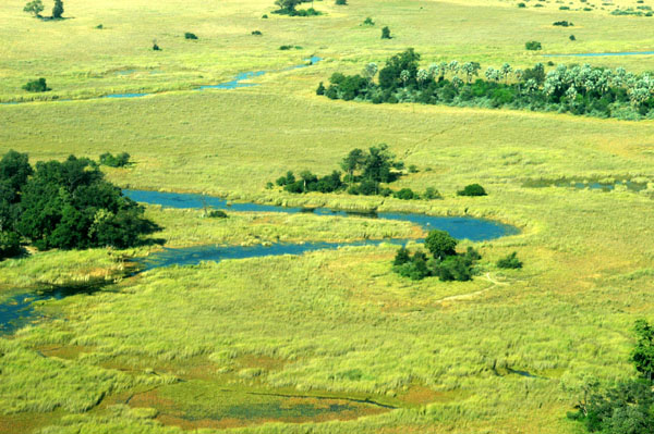
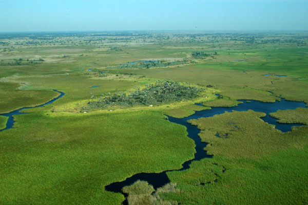
 Okavango Delta |
 Okavango Delta |
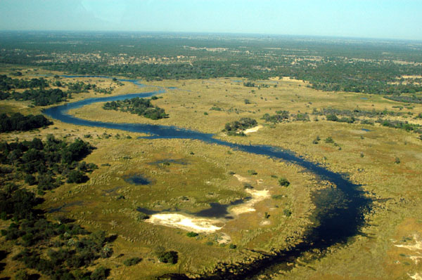
 Okavango Delta |
 Okavango Delta |
 Vumbura airstrip (1015m), Okavango Delta |
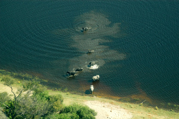
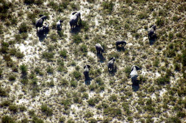
 Elephants, Okavango Delta |
 Elephants, Okavango Delta, Botswana |
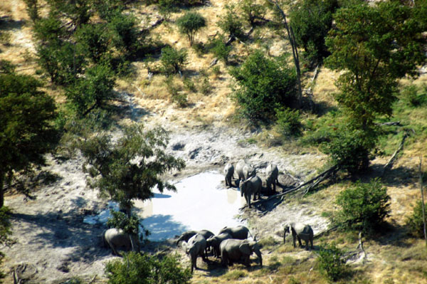 Elephants, Okavango Delta |
 Caprivi Strip, Namibia, across the Chobe River |
 Elephants in the Chobe River |
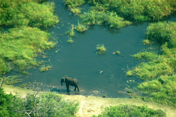 Elephant at a waterhole near Zibadianja |
 Chobe airstrip (1000m) |
 Savuti airstrip (FBSV-1000m), Chobe National Park |
 Chobe National Park |
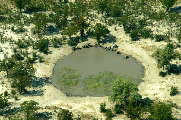
 Elephants at a waterhole, Chobe National Park |
 Chobe National Park |
 Elephants at a waterhole, Chobe National Park |
 Elephants at a waterhole, Chobe National Park |
 Elephants, Chobe National Park |
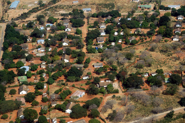
 Village near Kavimba, Botswana |
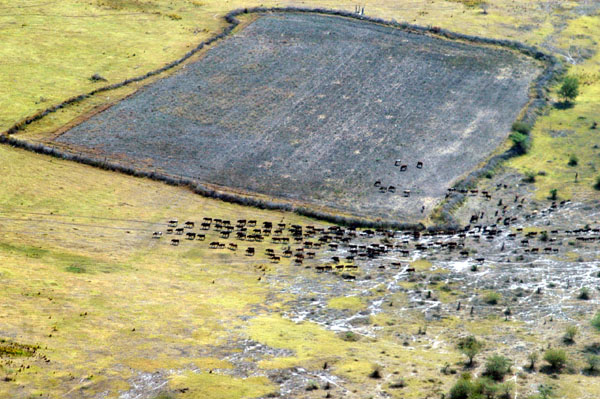 Cattle herd outside Chobe Park |
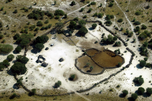
 Muchenje, Botwana |
 Muchenje, Botwana |
 Muchenje, Botwana |
 Muchenje, Botwana |
 Chobe Transit Road |
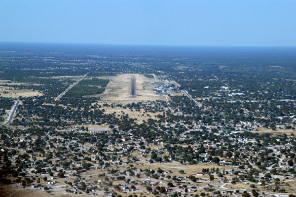
 Kasane Airport (FBKN) |
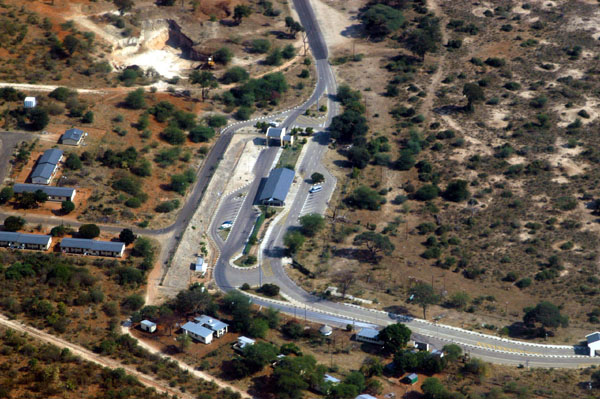 Botswana border post to Zimbabwe, outside Kasane |
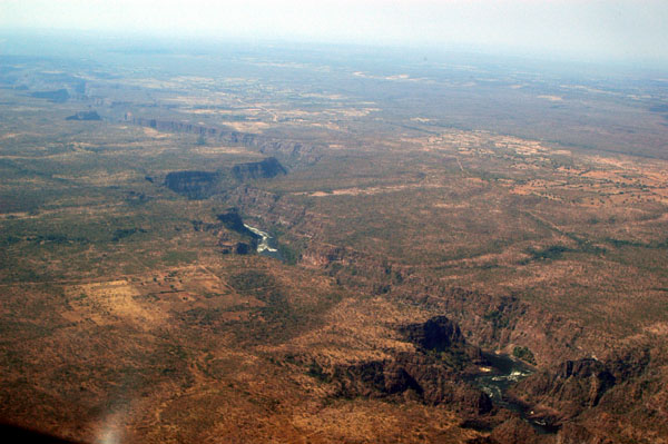
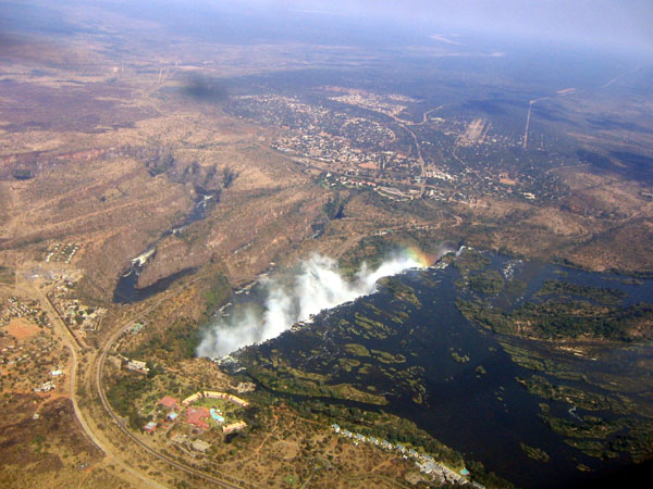
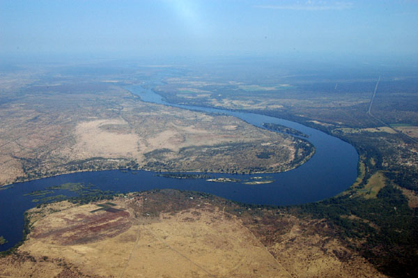
 Meeting point of Botswana, Namibia, Zambia and Zimbabwe along the Zambezi River |
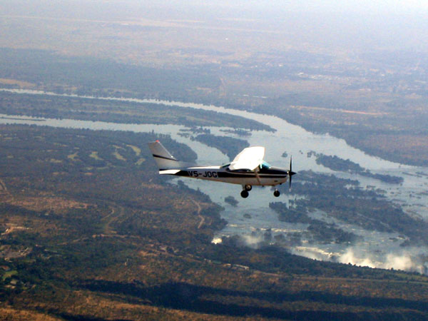
 That's me in V5-FIS heading for the falls |
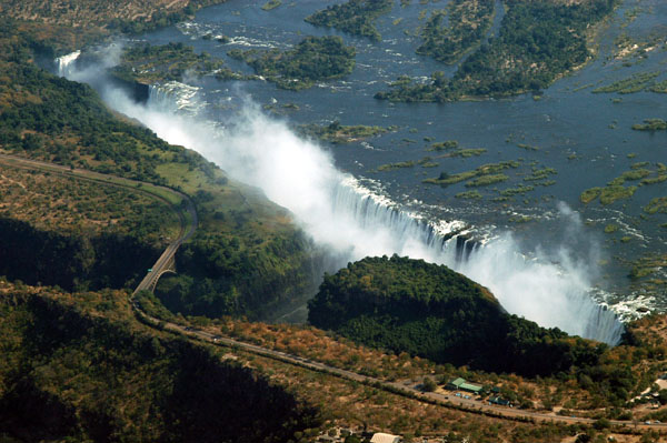
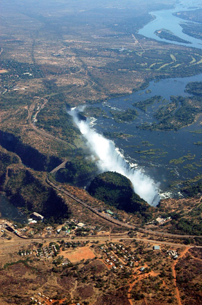
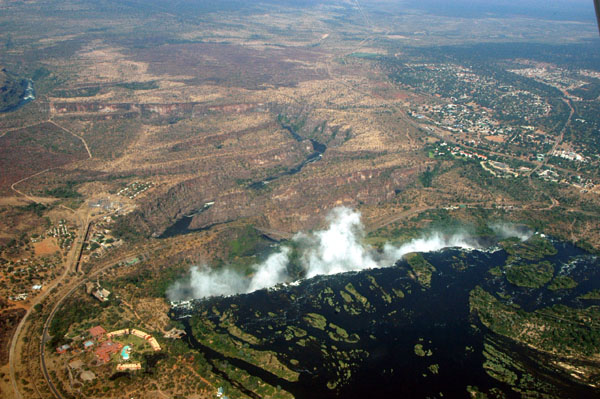
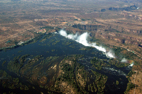
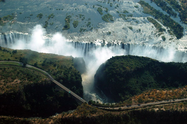
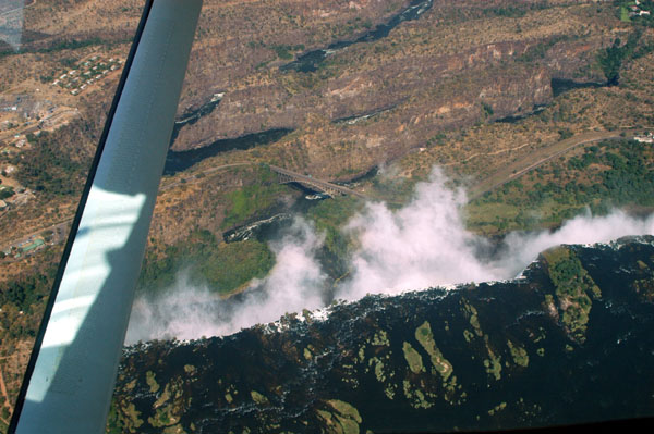
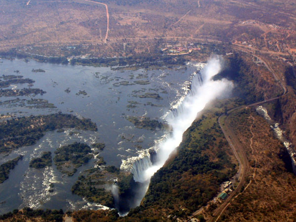
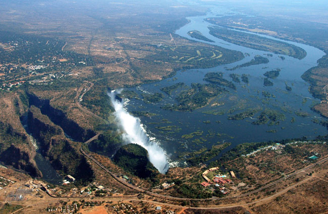 Victoria Falls, viewed from the Zambian side |
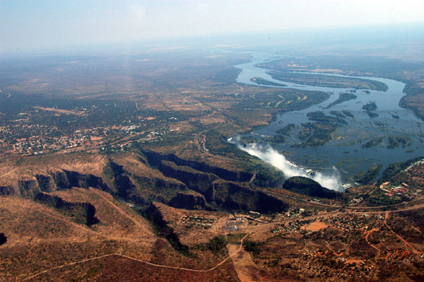 Victoria Falls with the lower gorges |
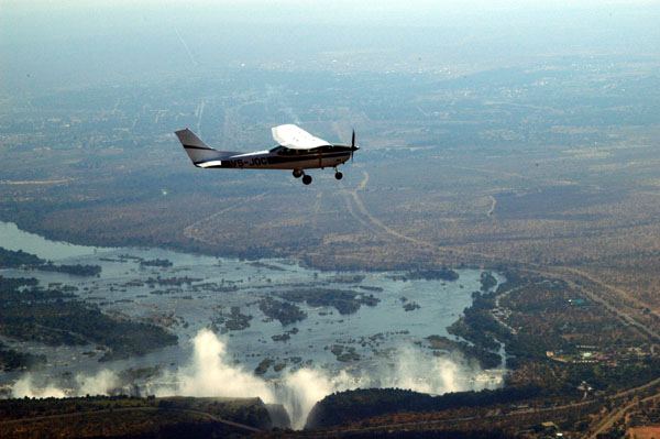 Ralph in V5-JOG over Victoria Falls |
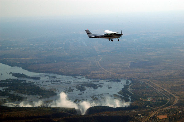 Ralph in V5-JOG over Victoria Falls |
 V5-JOG, Victoria Falls |
 Victoria Falls |
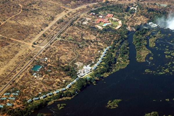
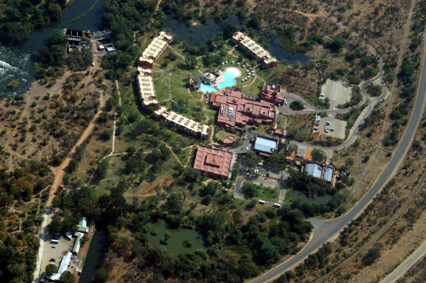
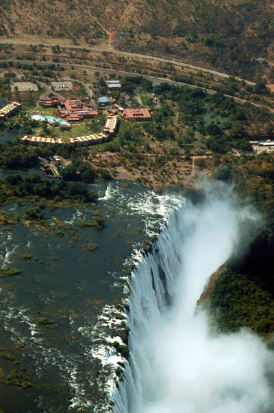
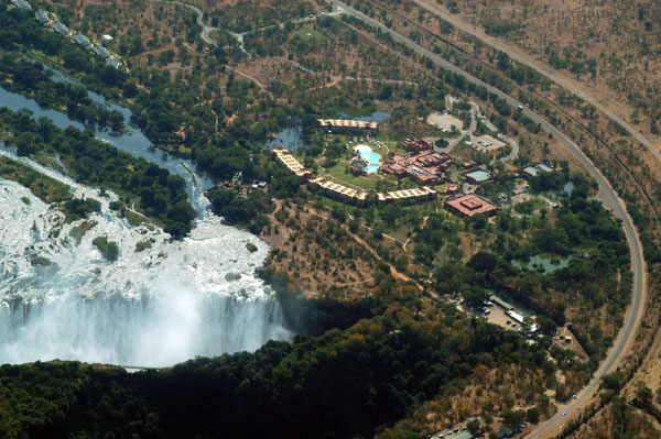
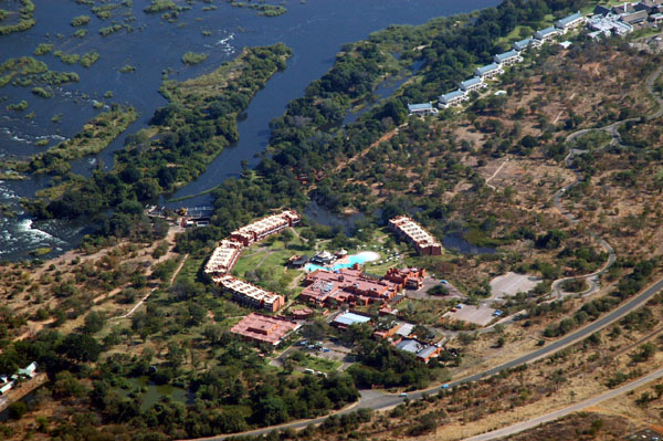 Zambezi Sun Hotel, Zambia |
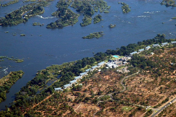 Royal Livingstone Hotel, Zambia |
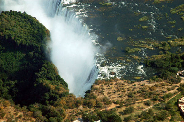
 Victoria Falls |
 Eastern Cataract of Victoria Falls, Zambia |
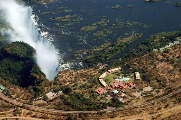 Victoria Falls and the Zambezi Sun |
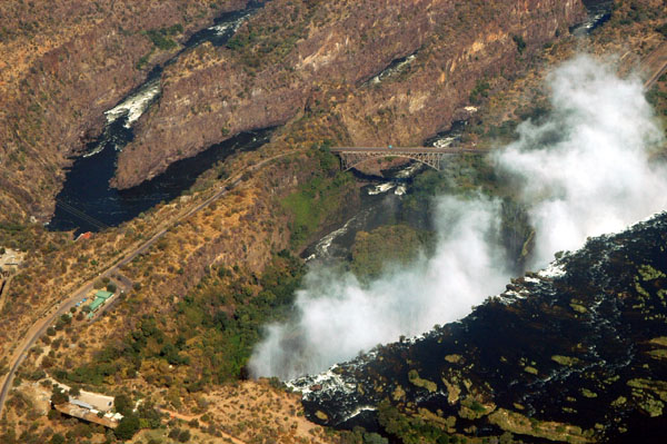
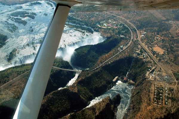
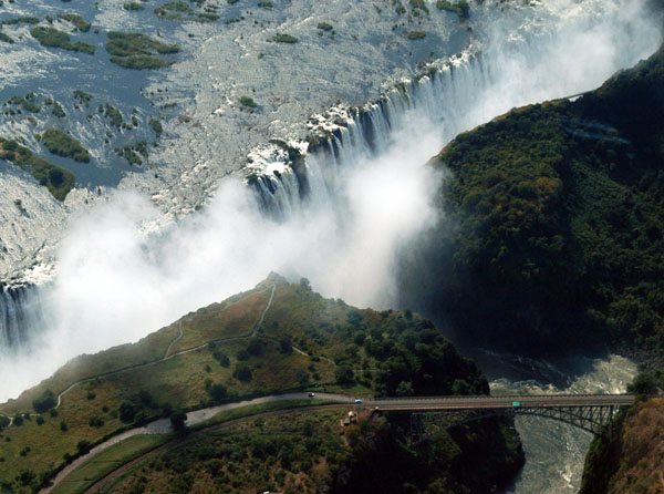
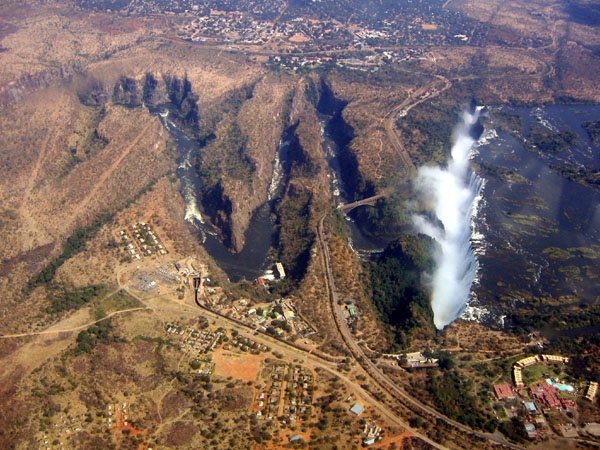
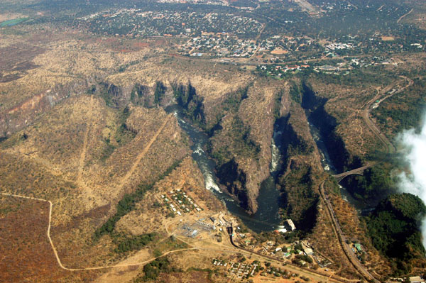 Victoria Falls Bridge and the lower Zambezi gorges |
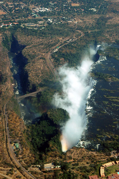 Victoria Falls |
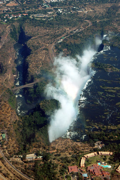 Victoria Falls |
 Victoria Falls |
 Victoria Falls |
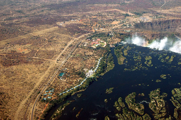 Royal Livingstone Hotel and Victoria Falls |
 Royal Livingstone Hotel |
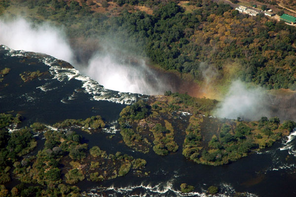 Victoria Falls |
 Victoria Falls |
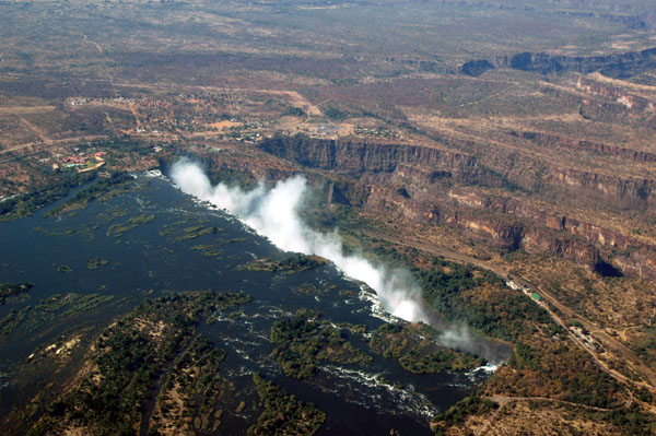 Victoria Falls |
 Zambezi River, upstream of Victoria Falls |
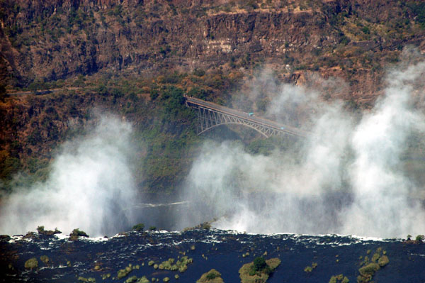 Victoria Falls |
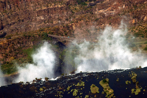 Victoria Falls |
 Zambezi Sun, Zambia |
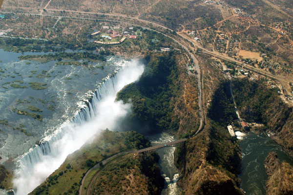 Victoria Falls |
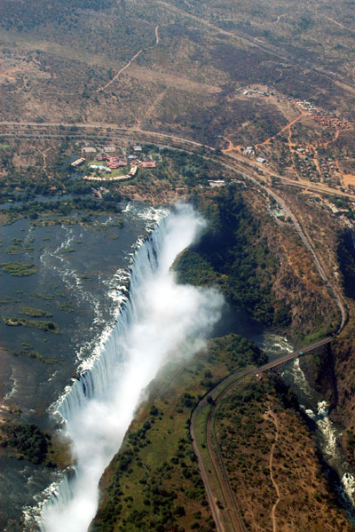 Victoria Falls |
 Victoria Falls |
 Victoria Falls |
 Victoria Falls and the Zambezi Sun |
 Victoria Falls |
 Victoria Falls |
 Zambezi River gorges below Victoria Falls |
 Victoria Falls |
 Town of Victoria Falls, Zimbabwe (aerials of the falls under Zambia) |
 Victoria Falls |
 Victoria Falls |
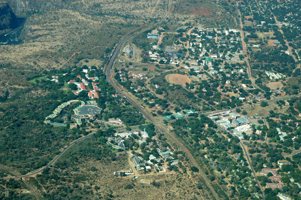
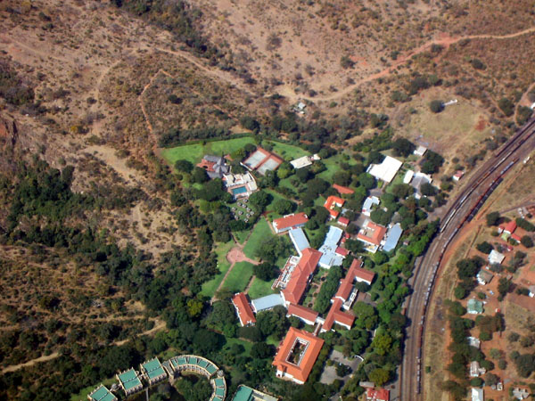 Victoria Falls Hotel, Zimbabwe |
 Victoria Falls from the Zimbabwe side |
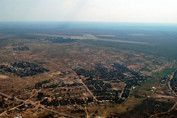 Livingstone, Zambia |
 Livingstone, Zambia |
 Livingstone, Zambia |
 Zambezi River upstream of Victoria Falls |
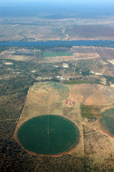 Irrigated fields along the Zambezi, Zambia |
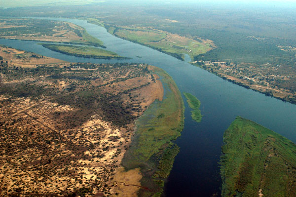
 Zambezi River |
 Zambezi River |
 Meeting point on the Zambezi of Zambia, Zimbabwe, Botswana and Namibia |
| comment | share |