


|
|
|
|
|
|
| Brian McMorrow | profile | all galleries >> Asia >> China - 中国 >> Tibet - 西藏 (བོད་) >> Mountain Passes to Gyantse >> Karo-la Pass (4960m) | tree view | thumbnails | slideshow |
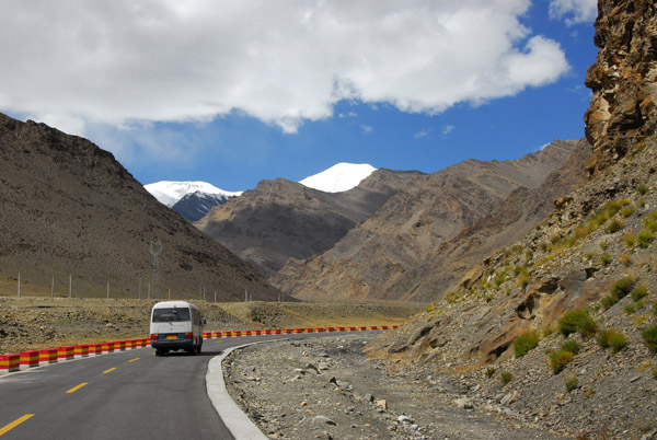
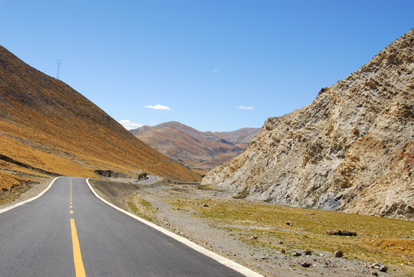
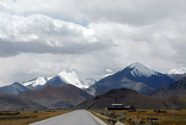 Friendship Highway continuing west from Nangartse towards the mountains of the Karo-la Pass |
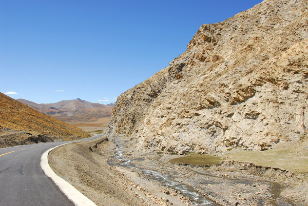
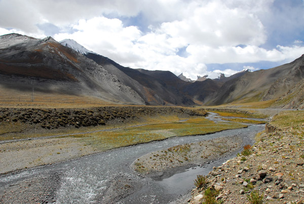 Kalurong Qu river flowing down from the Karo-la Pass |
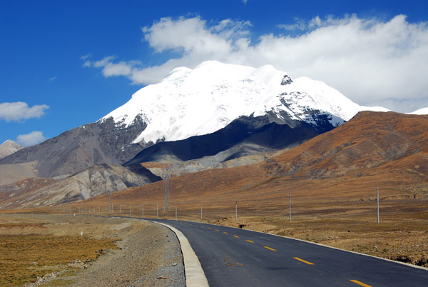
 Friendship Highway heading for the snow covered peaks |
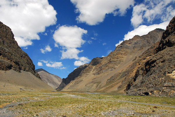
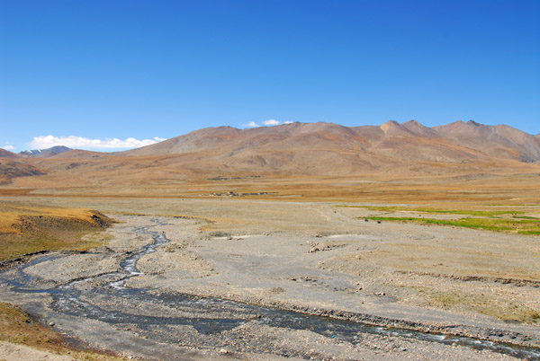
 Kalurong Qu valley |
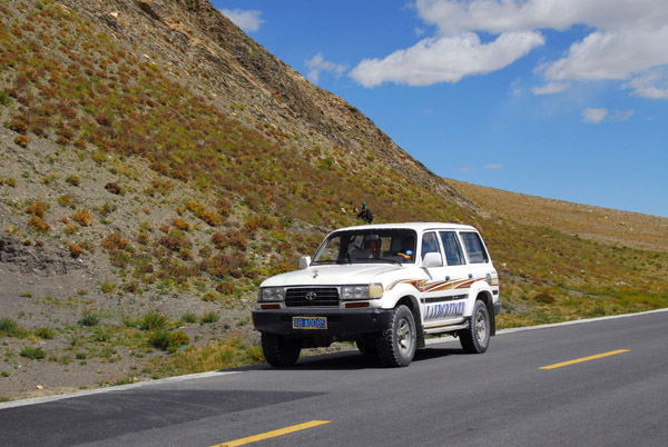 Our Landcruiser |
 Friendship Highway leading up to Karo-la Pass |
 Kalurong Qu Valley between Nangartse and the Karo-la Pass |
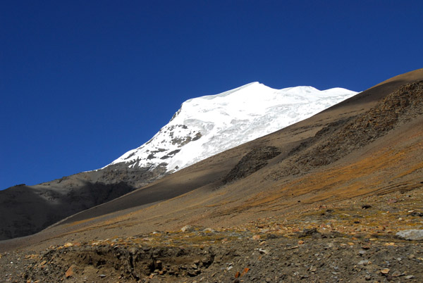
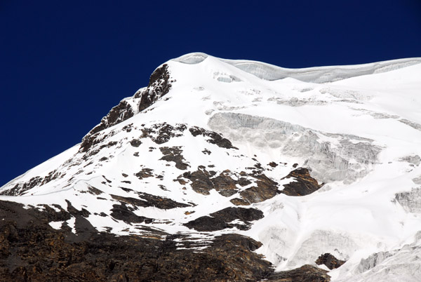
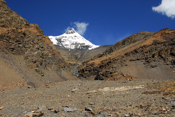
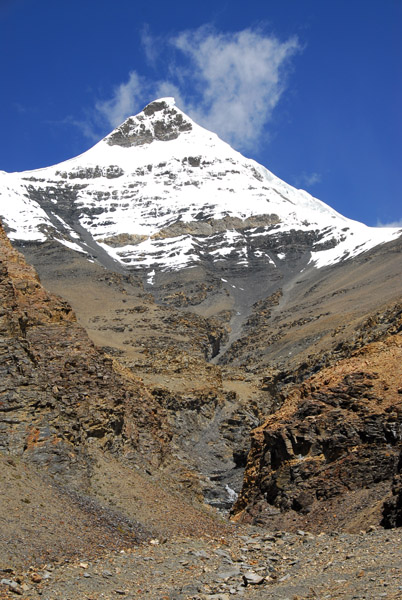
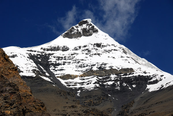
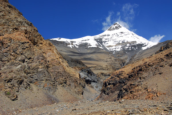
 Snowcapped Kaluxung 6674m (21,896ft) |
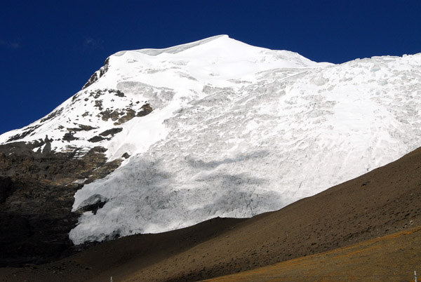
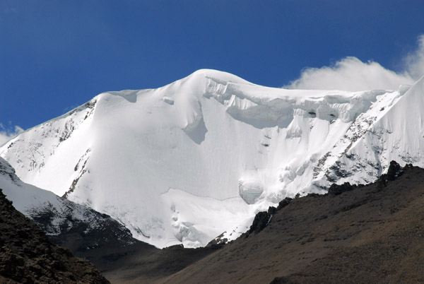 That looks like serious avalanche danger (N28.862/E090.209), east face of Kaluxung (6674m) |
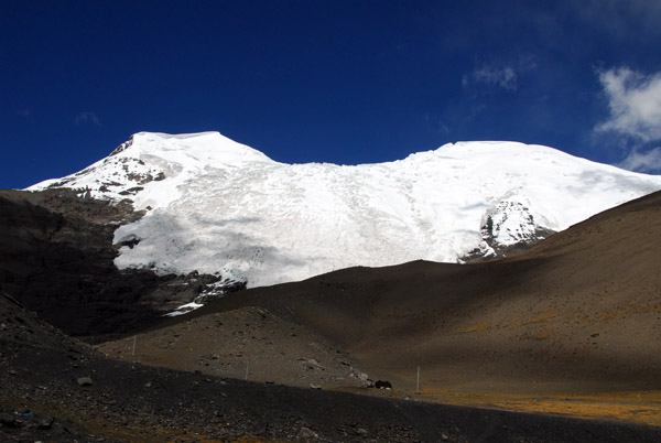
 Nganyang Valley leading to the north off the Friendship Highway (N28.89/E90.26) |
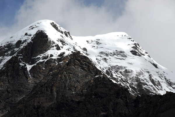
 high point on the ridge leading to Kaluxung South Summit (6536m). Location: 28�50'59"N 90�14'01"E. Altitude: 6302m |
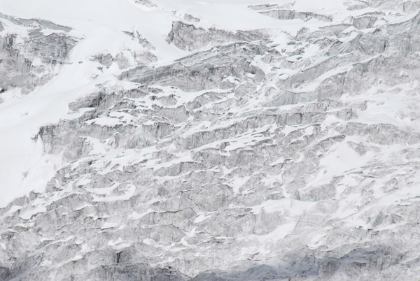
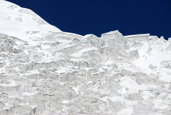
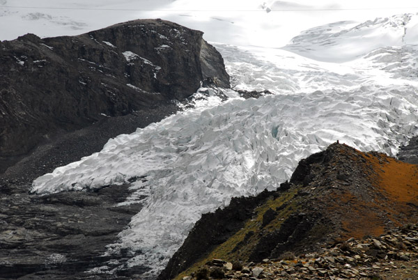 Kaluxung Icefall (N28.876/E090.225) |
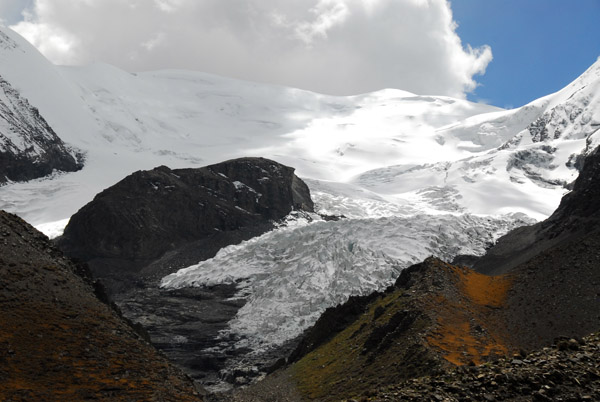 Kaluxung icefall and glacier (姜桑拉姆冰川) |
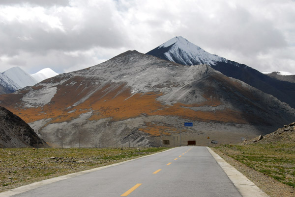
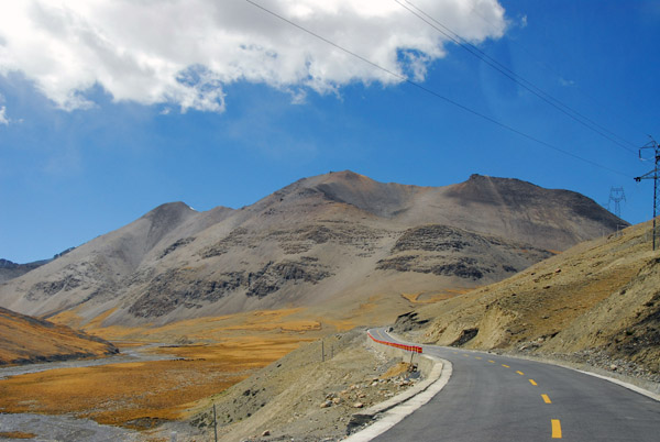 Good road leading up Karo-la Pass |
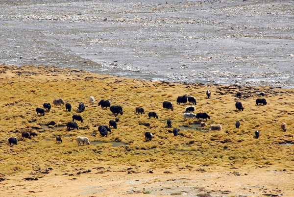 Yaks grazing near the river on the valley floor |
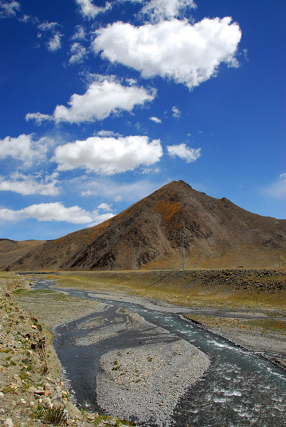
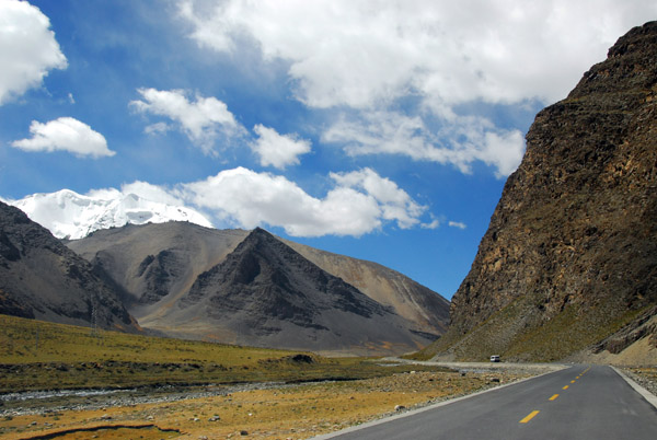
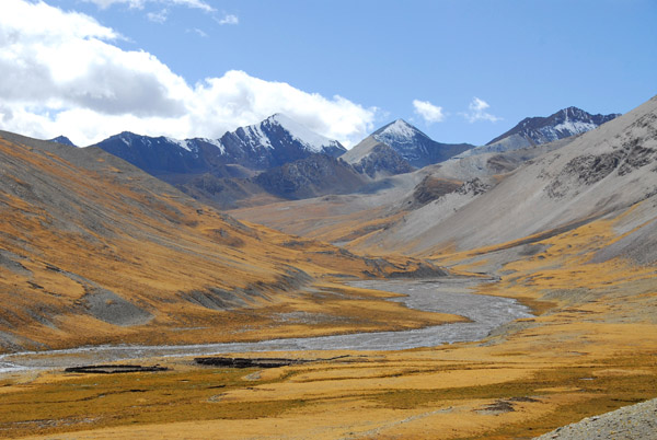 Scenery looking south from the road to Karo-la Pass |
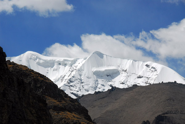
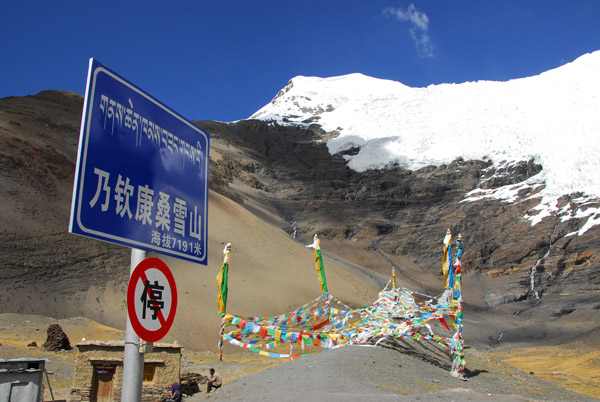
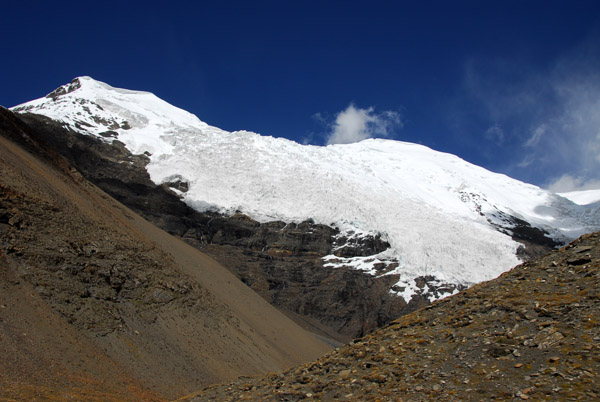
 Deep blue sky with snow covered Mount Nojin Kangtsang 7191m |
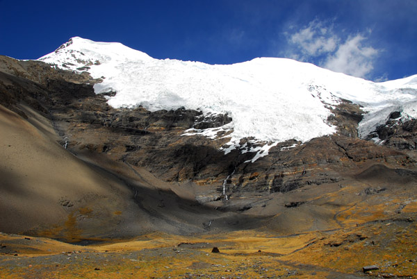
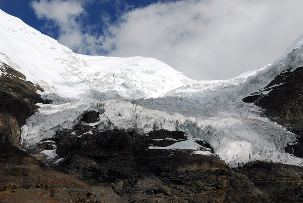
 The massive glacier on the south face of Mount Nojin Kangtsang |
 Detail of the glacier on the south face of Mt. Nojin Kangtsang |
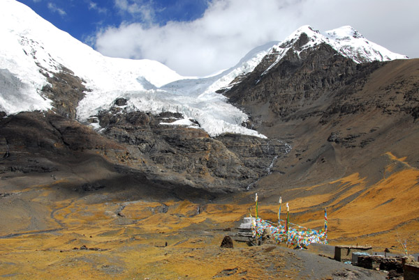
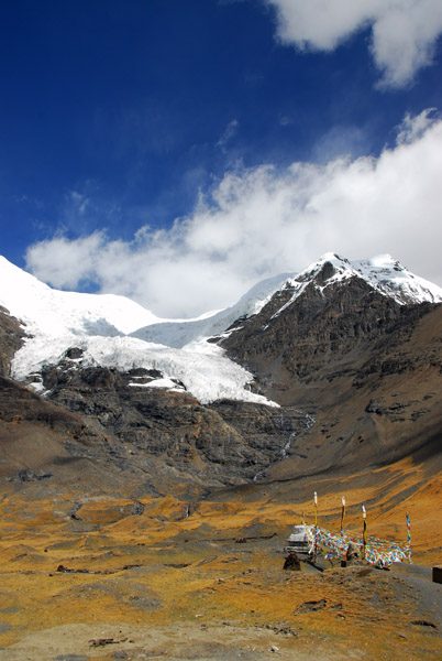
 Karo-la Pass at the foot of Mt. Nojin Kangtsang 7191m |
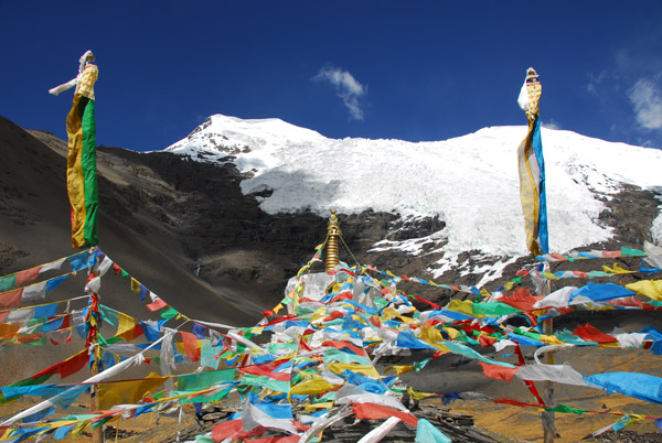
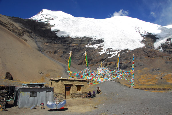
 Prayer flags and stupa at Karo-la Pass |
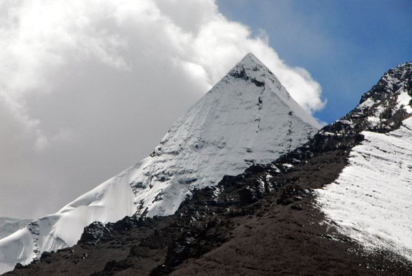
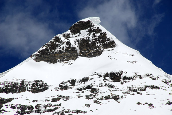
 Mt. Nojin Kangtsang 7191m |
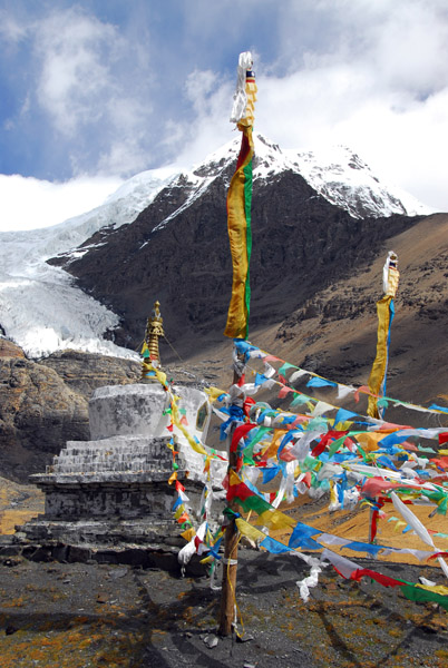
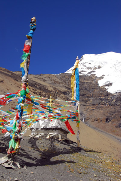
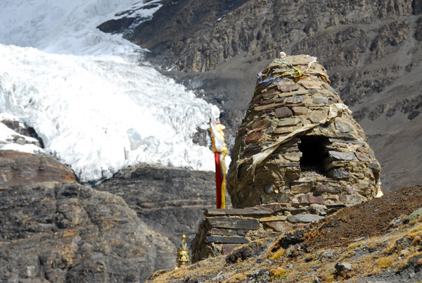
 Stupa at 5039m in front of Mt. Nojin Kangtsang 7191m |
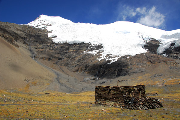 Primitive shelter at the base of Mt. Nojin Kangtsang |
 High point on the southwest ridge of Mt. Nojin Kangtsang with an avalanche waiting to happen along the ridge |
 Peak on the east side of the Nojin Kangtsang glacier |
 Nojin Kangtsang glacier |
 Nojin Kangtsang Glacier |
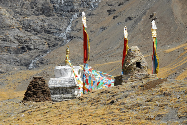
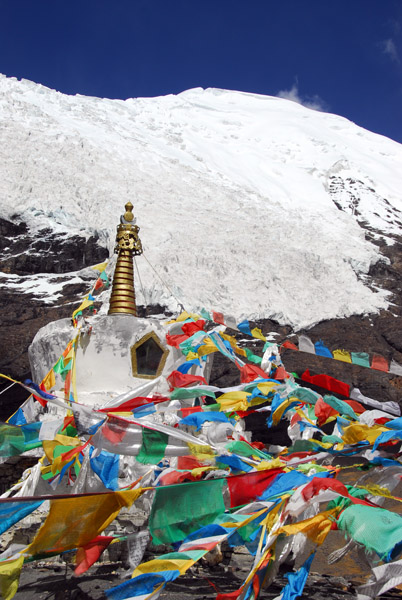
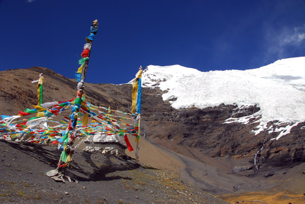 Stupa (ch�rten) with prayer flags at the summit of Karo-la Pass |
 Karo-la Pass summit, around 16,200 ft |
 Stupa (ch�rten) Karo-la Pass |
 Karo-la Pass |
 Karo-la Pass |
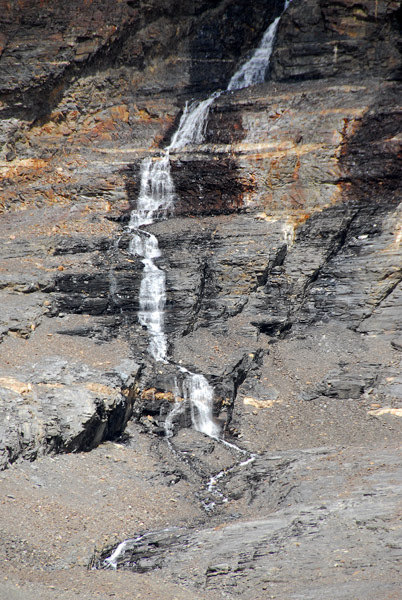 Meltwater from the glacier forming a waterfall |
 Karo-la Pass |
 Oven for offerings, Karo-la Pass |
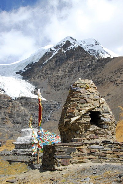 Oven for offerings, Karo-la Pass |
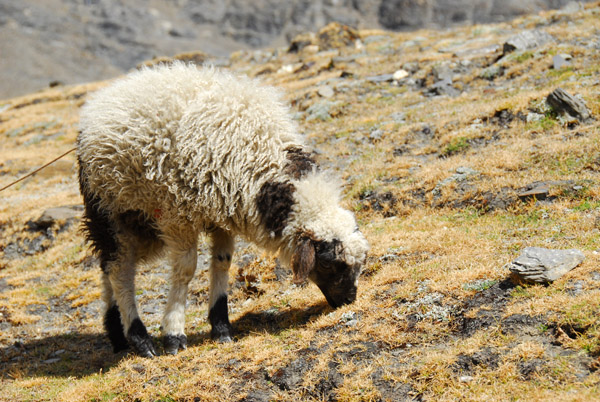 Sheep grazing, Karo-la Pass |
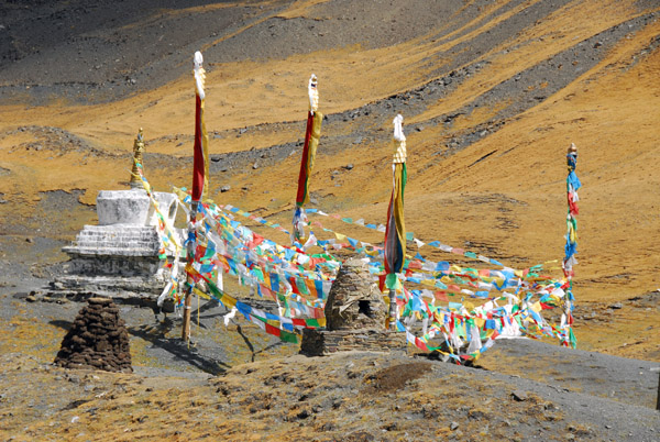
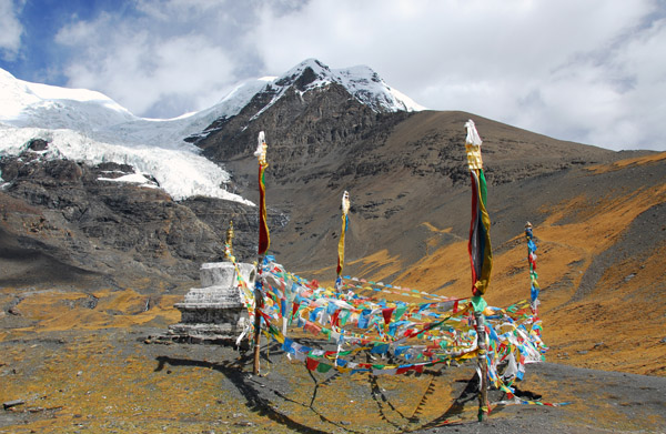 Stupa and prayer flags, Karo-la Pass |
 Prayer flag covered stupa beneath Mt Nojin Kangtsang |
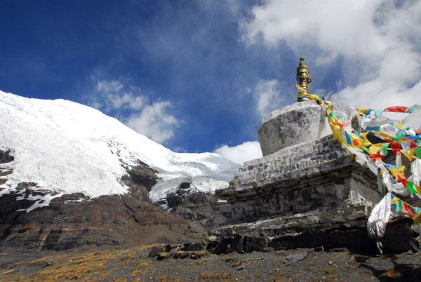
 Stupa, prayer flags and glacier, Karo-la Pass |
 Stupa, prayer flags and glacier, Karo-la Pass |
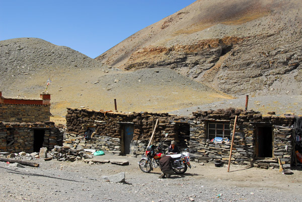 Tiny village set up to service tourists stopping at Karo-la Pass |
 Mount Nojin Kangtsang 7191m |
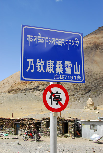 Karo-la Pass, no parking |
 Mt. Nojin Kangtsang and the village at Karo-la Pass |
 Continuing the drive west to Gyantse past Mt. Nojin Kangtsang |
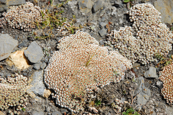 Odd vegetation near Karo-la Pass |
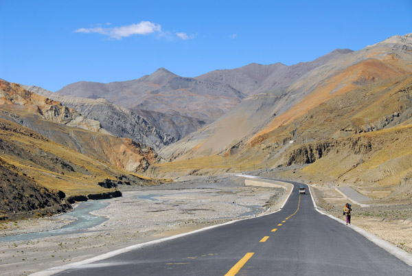
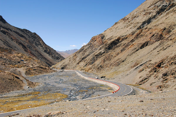 The Friendship Highway heading westwards down the other side of Karo-la Pass |
 We were doing well on time, so I took a short hike towards Mt Nojin Kangtsang starting about 2 km west of Karo-la Pass |
 A side view of Mt Nojin Kangtsang |
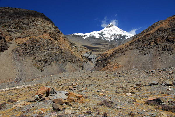
 Mt Nojin Kangtsang from around 2 km west of Karo-la Pass |
 Mt Nojin Kangtsang from around 2 km west of Karo-la Pass |
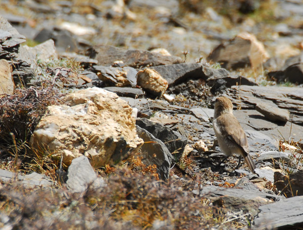 A little brown bird foraging among the rocks |
 West side of Karo-la Pass |
 High point on the southwest ridge of Mt Nojin Kangtsang |
 Headed back to rejoin the Land Cruiser |
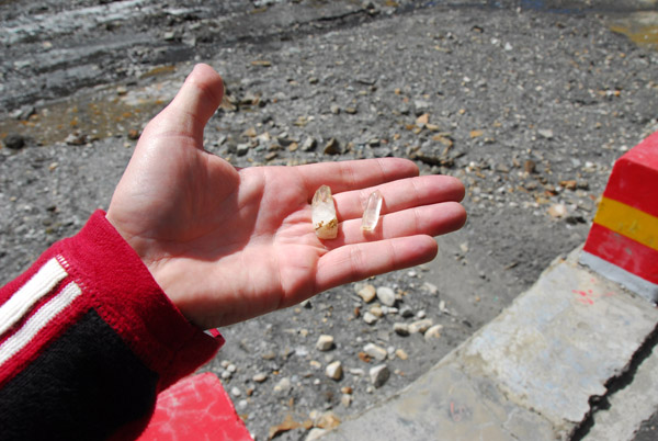 Crystals I bought from a kid at Karo-la Pass |
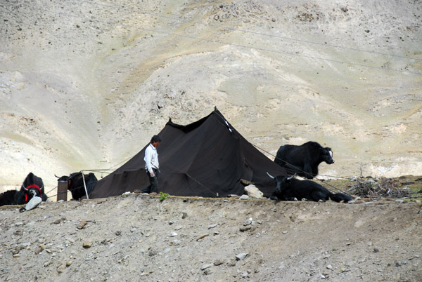 Tent of nomadic Yak herders west of Karo-la Pass |
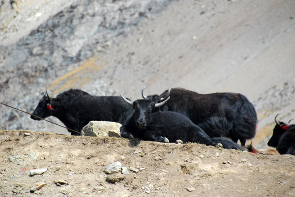 Yaks |
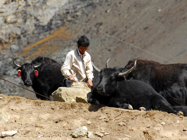 Yaks and nomadic yak herder |
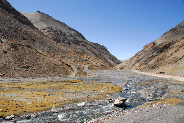
 The Friendship highway decending to the next valley |
 The water flowing west from Karo-la will pass Gyantse and join the Yarlung Tsampo near Shigatse |
 The broad valley between Karo-la Pass and Simi-la, the next pass to the west on the road to Gyantse |
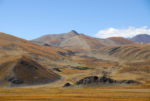
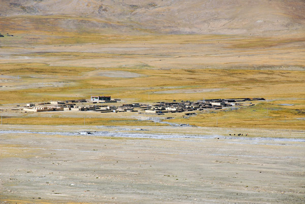 Small village in the middle of the broad valley (N28.911/E90.079) |
 Hills on the west side of the valley between Karo-la and Simi-la |
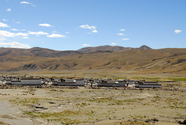 Village of identical Tibetan-style houses on the side of the road |
 Looking back at Mt. Nojin Kangtsang 7191m |
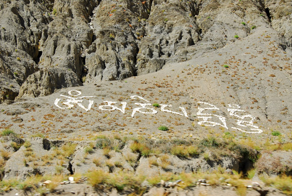 The Buddhist mantra Om Mani Padme Hum written in white stone |
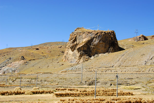 A rocky outcropping with prayer flags |
 Friendship Highway headed west for the third pass on the road to Gyantse, Simi-la |
| comment | share |