

 |
 |
 |
 |
 |
 |
| John Scurlock | profile | all galleries >> North Cascades :: Winter >> Mt. Goode | tree view | thumbnails | slideshow | map |
Gallery Satellite View
1:50,000 Topographic Map
_______________________________________________________________________________
THE IMAGES PRESENTED HERE HAVE BEEN DOWN-SIZED FROM THE ORIGINAL DIGITAL FILES.
Full-resolution color prints are available by request.
________________________________________________________________________________________________
All Images Copyright 2004/2006, John Scurlock, Photographer & Pilot.
| previous page | pages 1 2 3 ALL | next page |
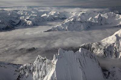
 Goode, View SW Across Summit (Goode-012610-052adj.jpg) |
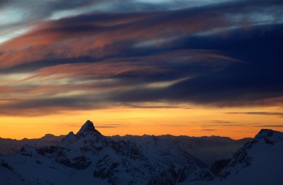
 Goode: Sunrise (Goode022310-23adj2.jpg) |
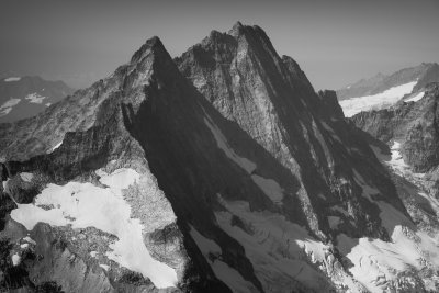
 The Northeast Buttress Of Mt. Goode (Goode_091812_008-2.jpg) |
| previous page | pages 1 2 3 ALL | next page |