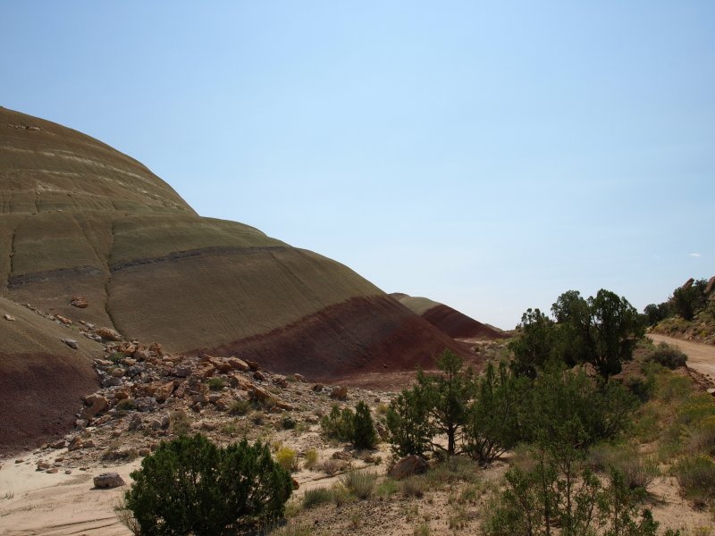
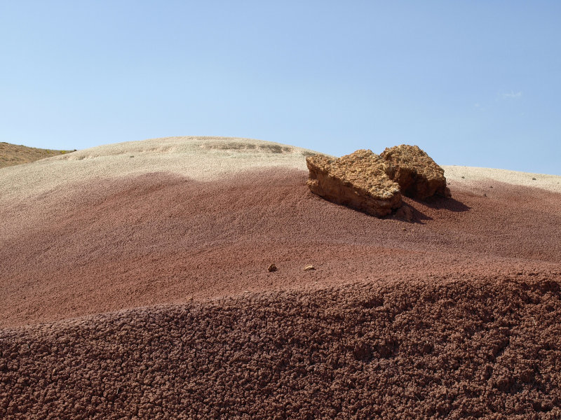
The jagged Waterpocket Fold paralleled our path and the landscape changed to juniper and sagebrush. As we neared the intersection with the Burr Trail, striped purple mounds of bentonite appeared alongside the road with steely blue-gray and red mesas to the east.
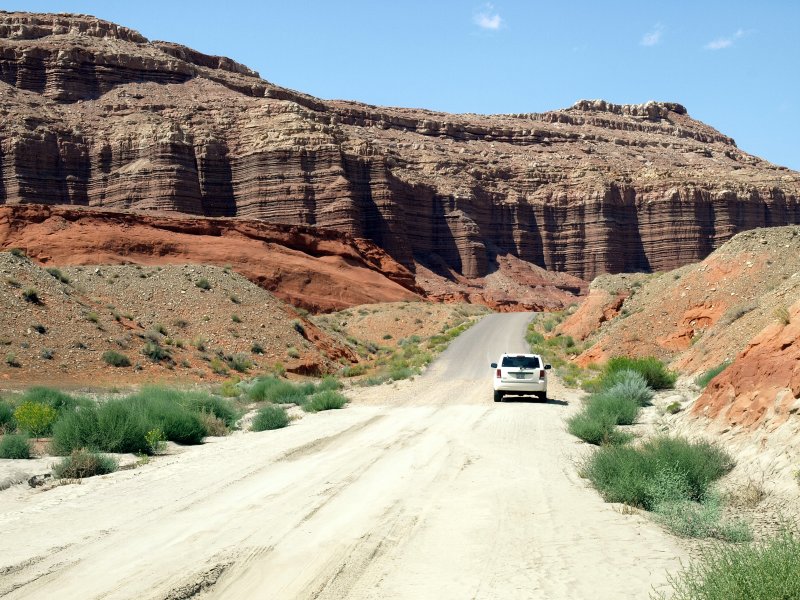
This is a unique bit of landscape that defies description. We passed the Burr Trail turnoff and continued toward Bullfrog, still about 30 miles to our south.
The landscape became pretty barren, and we were forced to negotiate some washes that hadn�t been repaired after flooding. The deep ruts though muddy bottoms gave a clue that others had made it so we forged ahead. With a minimum of mud and rock scraping the bottom of the Jeep we were able to continue. We hoped there wasn�t worse ahead but decided to take it as it came. Turning around is always an option.
-
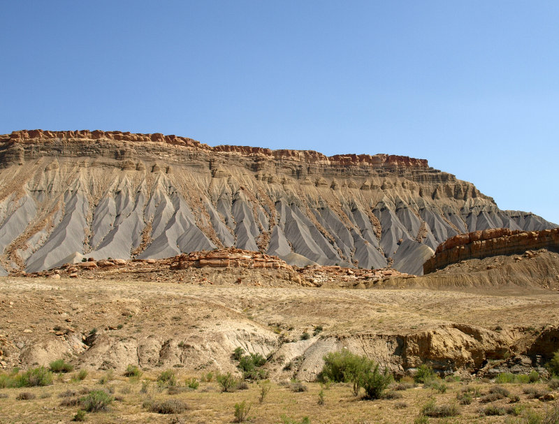
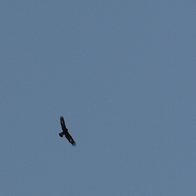
Sharon spotted a couple of huge birds soaring above so we stopped for a look through the binoculars. They were very large birds with a wingspan of 4� or more. There were 3 of them but they didn�t look like vultures. We id�ed them as Golden Eagles. They finally soared out of sight, and we pressed onward toward Lake Powell. Soon we were driving along the edge of the mesa looking into deep red canyons. Perfect eagle country.
The road dropped down from the rim as we approached the lake. We came upon one deep and steep sided wash but managed to get across just fine. There were blockades at the roads into the North Campgrounds with signs warning of roads out. It looks like they'd had storms here too.
-
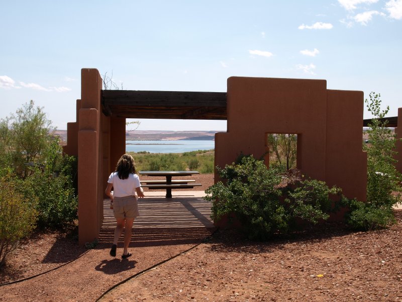
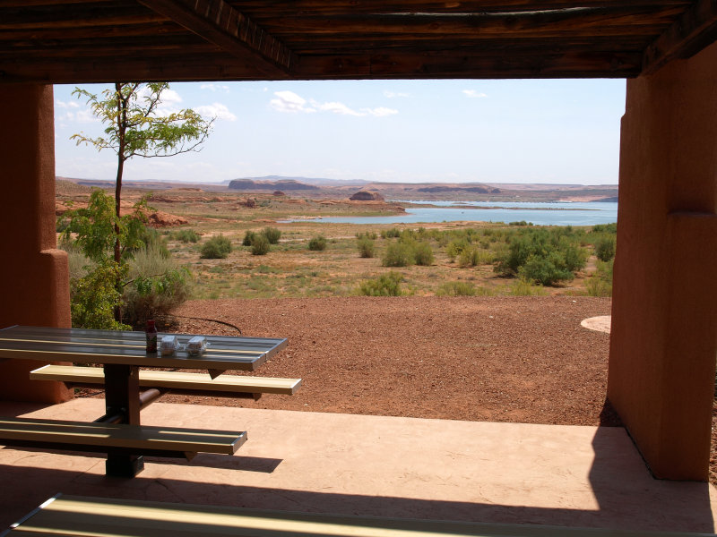
We rejoined the paved world at Rt. 276 just north of Bullfrog. If you take a left here, you�ll eventually get to Hanksville. We turned right toward the lake. To our surprise, there was a gatehouse. It is a federal recreation area so we tried our park pass and it worked. We found the picnic area overlooking the lake and had the sandwiches from Austin�s.
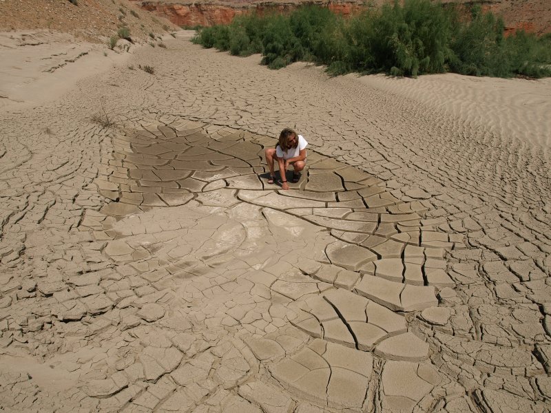
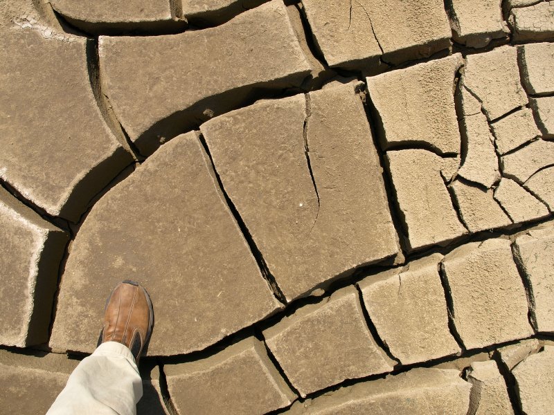
We headed out and back up the Notom Rd. Off to the side of one wash, we noticed a patch of mud drying from the flash floods.
It had formed giant cakes separated by giant cracks about 5� deep. Very odd.
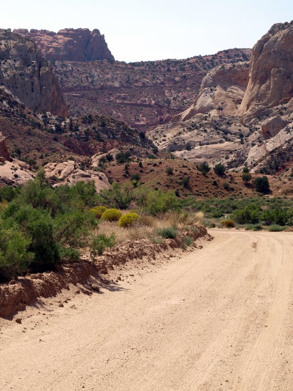
We eventually reached switchbacks where the Burr Trail climbs to the top of the Waterpocket Fold.
-
The folks at the Hell's Backbone Grill told us later that a man had been trapped here at the base of the switchbacks by flash flooded roads. It took four days before the road crews got to where he was. He'd only gotten out the day before we came through. Desert Canyons Don't Care after all.