10-APR-2007
Not this way...
To find the trail, you head up from Happy Isles toward the Mist trail. You leave the main trail from the rockfall sign
This is what you see looking up from the rockfall sign , which is not exactly an inviting "trail" 8^). Don't go up through here.
Go about 20 feet to the left, and you'll be able to work your way through the rockfall.
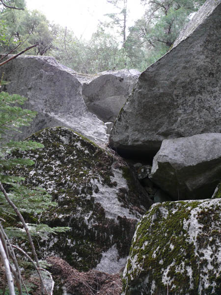
10-APR-2007
This is the way...
From just to the left of the rockfall sign on the Trail, looking upward.
There is a way through this mess, but you have to go up to find it.
Head for the two pine trees on the left side of the photo.
As you get to the first rocks, you will see a way to get through the rockfall, over, under, around, and through.
(Note: This photo was actually taken as I came DOWN from the trail. Up to that point, I had no idea where I should have gone up, but this is the way)
From the left of the rockfall sign, look for the large tree you see at right, and the two pines above; there are several ways through the rocks, but head in the general direction of those two pines.
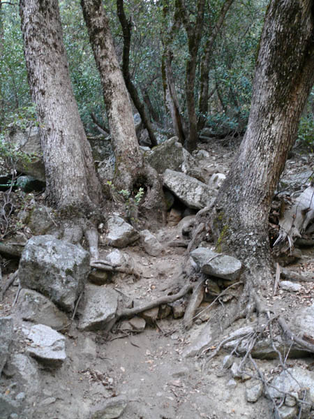
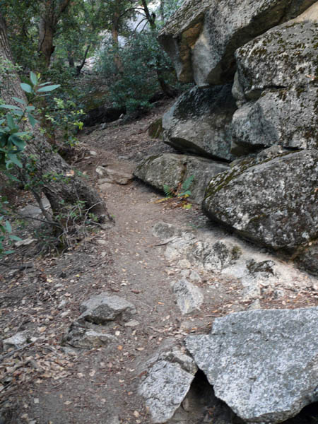
01-JUN-2007
The trail
After you've located the trail, you should run across this spot soon, where the trail is obvious.
10-APR-2007
Whoops
If you get to this, you've missed the trail and gone too far to the right. You can still work your way up at the left edge of the solid rock slab, walking up the loose rock and dirt.
If you choose to go up that way, you should eventually find the first rockfall (see the rockfall photo and the aerial view in the final photo). No harm done, but the trail is nicer.
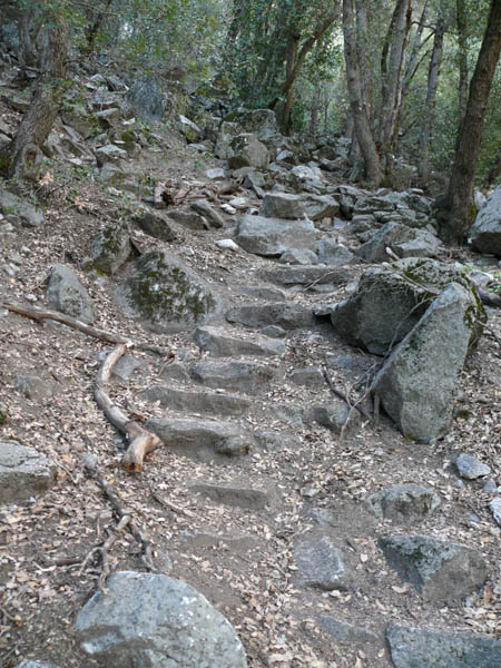
10-APR-2007
Definitely the trail!
No question this is a manmade trail; these steps confirm it!
Not all of the trail is this easy to spot, but there are enough of these steps around to help keep you on track if you watch for them.
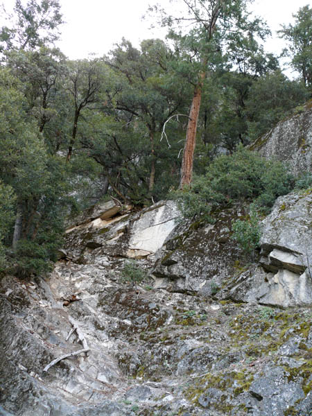
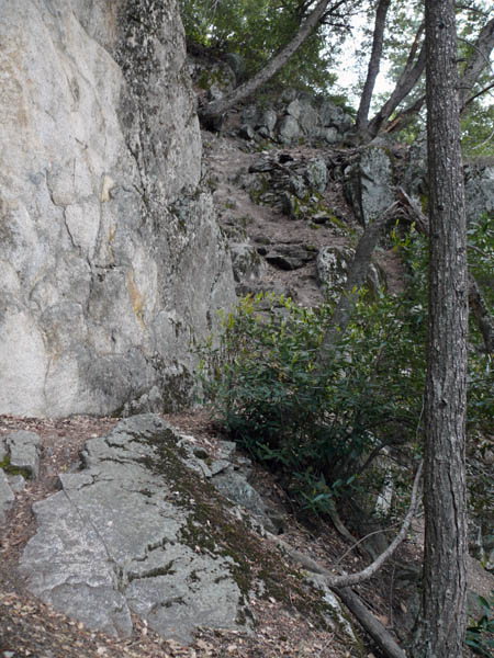
10-APR-2007
First Rockfall...end of trail?
Nope, but this is where you can easily lose the trail. While it appears to go across the rockfall, it doesn't.
You need to work your way up the left side, where you'll again find the trail just past that tree.
Actually, the easiest way seems to be going across the rockfall and slightly upward, then double back to the base of that long root you see in the photo at lower left.
The last time I was here, there was a rock cairn or duck at the base of the root.
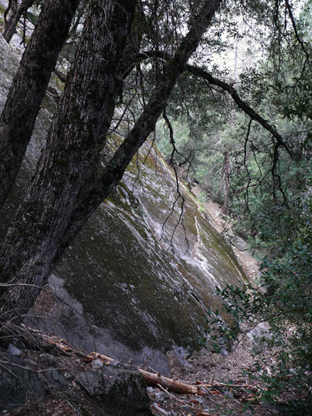
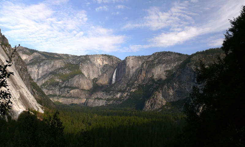
10-APR-2007
Not Sierra Point, but still a nice view
Before you head up the rockfall, have a look around; it's a pretty nice view from here and other points along the way.
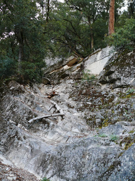
10-APR-2007
The root to Sierra Point?
Whether you went across the rockfall and back, or up the left side, the root you see on the left is the "route". At least I found the root route to be the easiest. 8^)
Use the root to help pull yourself up over the difficult part, then scramble upward.
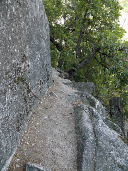
01-JUN-2007
Back on track
Once you've reached the top of the root route, the trail again becomes easy to locate.
01-JUN-2007
Not always a walk in the park
You need to keep your eyes open for the trail in some places.
There are a few "false" leads that go off to nowhere, but none more than a few feet.
If you lose the trail, back up and look for worn dirt, tracks, or granite steps.
01-JUN-2007
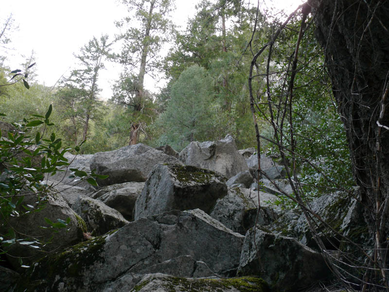
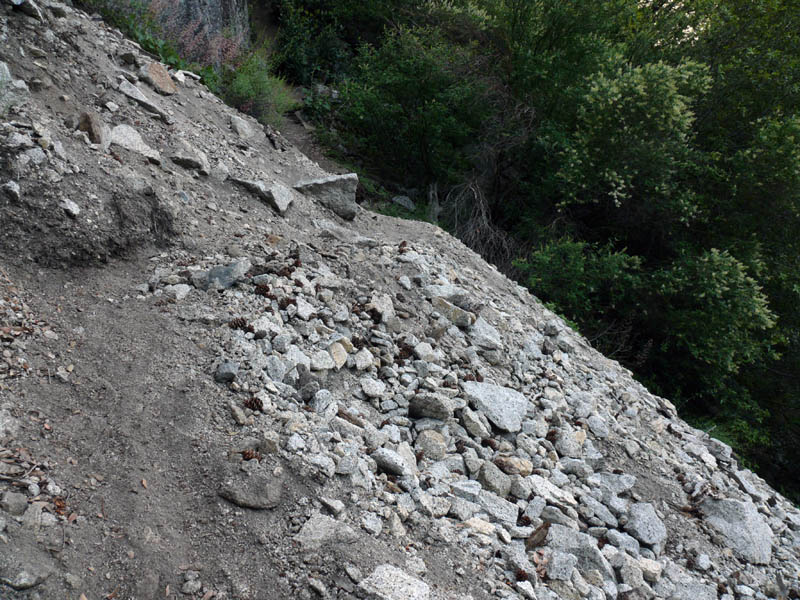
Next slide, please...
Rockfall 2. This one is easy; you just go straight across and there's the trail again.
01-JUN-2007
You're almost there
Just keep on the trail for a while after the second rockslide, and you'll find it.
When you see this, you're almost to Sierra Point.
Click on the "2" below for page two.