Search the PBase Photo Database for Photos
Search by
Camera
Search by
Country
Popular Search Keywords
Result Page:
Previous
2 of 3
Next
geodetic Pictures Search Results 11 to 20 of 28
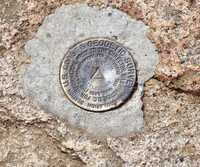
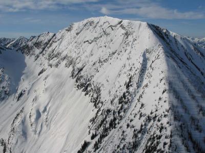
US. Coast & Geodetic Survey Marker on West Rattlesnake
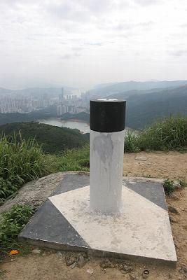
Geodetic Marker at Needle Hill
Geodetic sphere
44°58'34.9"N 110°41'59.3"W
Full Moon Rising, View SE
(FullMoonRising042806 6adj.jpg)
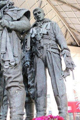
Bomber Command Memorial
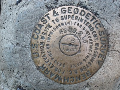
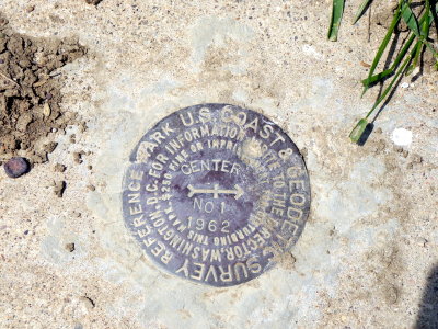
U.S. Coast & Geodetic Survey Reference Mark
New State Boundaries
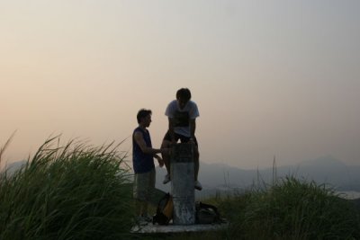
Eric balancing on the Geodetic Marker on top of Junk Peak
Actual Geodetic Survey Marker
Result Page:
Previous
2 of 3
Next
All images are copyrighted.
Please contact the photographer before using an image for any reason.
Find contact info on the photographer's profile page.