


|
|
|
|
|
|
| Suze | profile | all galleries >> Dry Valleys: Wright Valley and Olympus Range >> Labrinyth and Airdevronsix Icefall | tree view | thumbnails | slideshow |
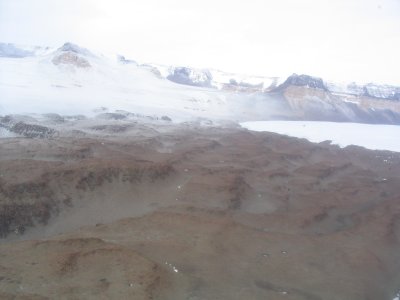
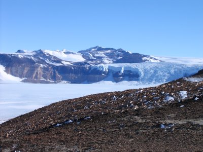
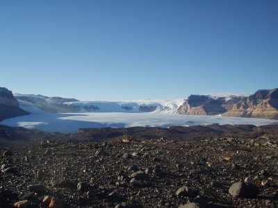 Airdevronsix Ice Fall and Upper Wright Glacier.JPG |
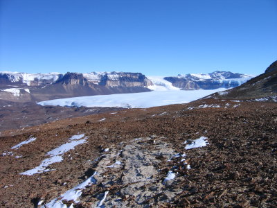
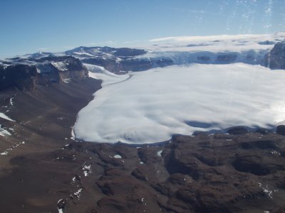 Upp. Wright Glacier part of Labrinyth Airdevronsix Icefall.JPG |
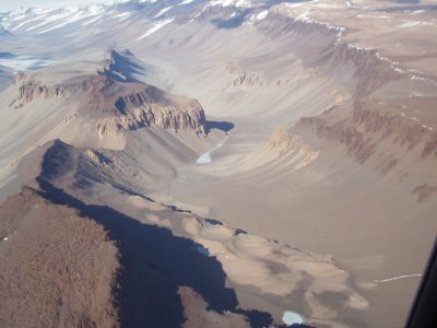
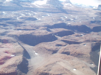 Partial view of Labrinyth Wright Valley.JPG |
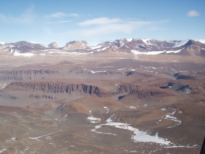 Labrinyth Wright Valley and part of Asgard Range Dry Valleys .JPG |
 Later season flight showing new snow on glacier and Labrinyth.jpg |
 Wright Valley below Labrinyth back L=Lake Vanda.JPG |
 Veiw of icefall from base of Electra.JPG |
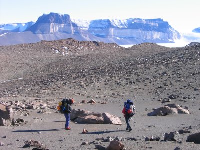
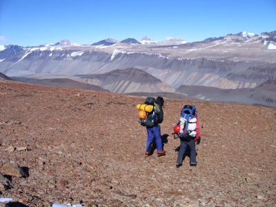 Simon and S heading down from Electra base toward Labrinyth.JPG |
 Airdevronsix Icefall and Upp. Wright Gl.JPG |
 Simon and S heading into Labrinyth.JPG |
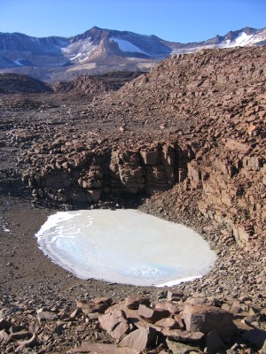 One of many frozen freshwater ponds.JPG |
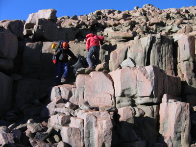 Up and down through the Labrinyth.JPG |
 Hiking in the LabrinythJPG |
| comment | share |
| Black Bart | 22-Feb-2010 21:45 | |