photo sharing and upload picture albums photo forums search pictures popular photos photography help login
Paul Dudley | profile | all galleries >> 28 Australian trips >> To Lake Eyre 2009 (20 galleries) >> 4: Mount Grenfell Historic Site tree view | thumbnails | slideshow | map
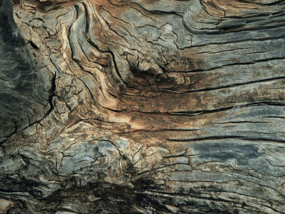
1: Old buildings in Mudgee | 2: Wellington: Caves and an Arboretum | 3: The Old Dubbo Gaol | 4: Mount Grenfell Historic Site | 5: Wilcannia, not quite a ghost town | 6: On the road to Wilpena | 7: Flight over Flinders Ranges to Lake Eyre | 8: Blinman and the Gorges | 9: Old Wilpena Homestead with Trees | 10: The Kanyaka Ruins | 11: Melrose: a museum and a pub | 12: Sevenhill Cellars: A Jesuit Winery | 13: Oxley Farm: B&B with animals | 14: Angaston, Luther Land, and Maggie Beer's | 15: Padthaway Wine Tasting | 16: Naracoorte Caves and Fossils | 17: Portland: The Sea, and Wind Farms | 18: The Great Ocean Road | 19: Queenscliff to Sorrento Ferry | 20: Mornington Peninsula

4: Mount Grenfell Historic Site

This spot is 33 Km along a so-so gravel road (probably impassable when wet) off the Barrier Highway, west of Cobar, with not much to see on the way. You could be excused for turning back to the highway. But even without the aboriginal paintings, it is an unexpectedly pleasant spot to spent an hour or two.
Recommendation: Walk slowly, look at the details, savour the atmosphere, imagine the life of the original inhabitants, then of the first discoverers. Speak quietly, take your time with your photography here. And don't hurry on the road, either.
The geotags here are a bit rough, because the landmarks we saw are not visible in the satellite pictures. At the end of the road there are shelters and toilets and a gate stopping cars going up the hill to an older turning circle just visible in the satellite picture. There are more shelters and toilets (not visible). Then there is a walking track up and over a low ridge to a more level grassy area. The caves with the paintings are on the west side of this area and a small creek runs south on the east side. It's possible that I've got things wrong and located everything too close to the road.
Old wood
Old wood
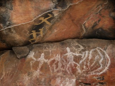
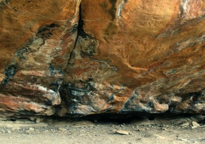
Rock overhang, with aboriginal painting
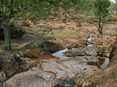
Flowing water
Flowing water
A clear area in front of the caves
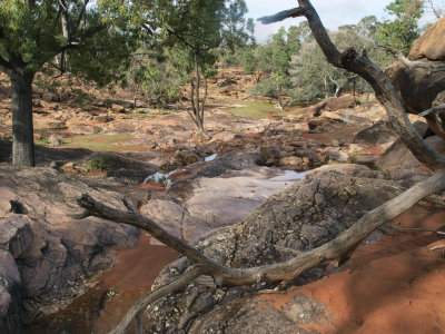
Creek among rocks
Creek among rocks
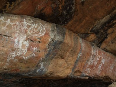
Aboriginal painting in a rock overhang
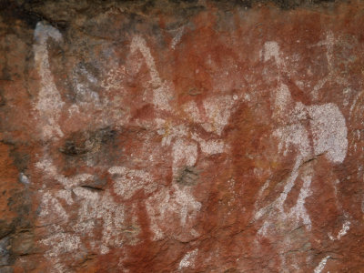
Depiction of emus
Depiction of emus
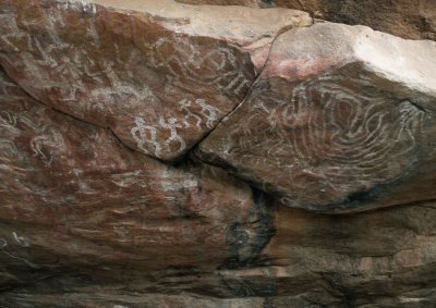
Figures and patterns, white on red
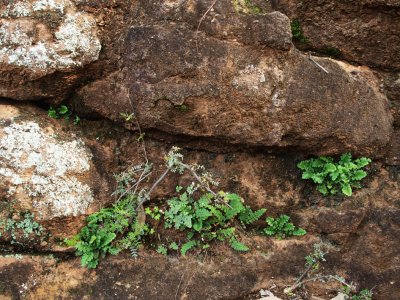
Green on red
Green on red
Paintings in a rock overhang
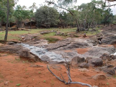
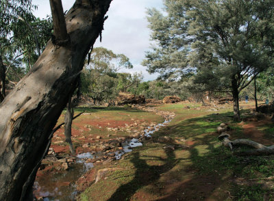
Creek flowing past the caves
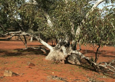
What tree is this?
What tree is this?