


|
|
|
|
|
|
| Ian Fulton | profile | all galleries >> Asian Galleries >> Bhutan >> Bhutan - Places and Scenery >> Lingmethang Road | tree view | thumbnails | slideshow |
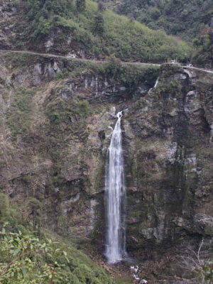 Waterfall, Namling, Bhutan |
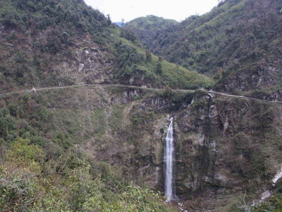 Waterfall, Namling, Bhutan |
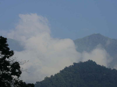 Forest, upper Lingmethang Road, Bhutan |
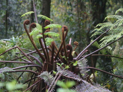 Ferns, upper Lingmethang Road, Bhutan |
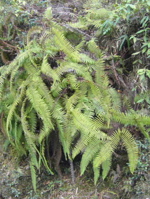 Ferns, upper Lingmethang Road, Bhutan |
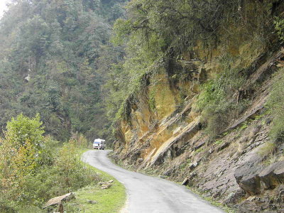 The main road, Namling, Bhutan |
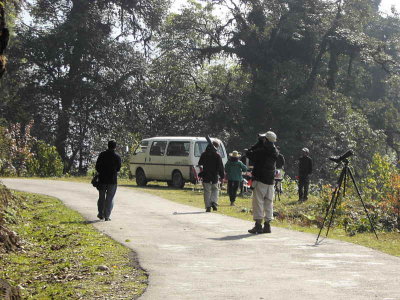 Breakfast stop, upper Lingmethang Road, bhutan |
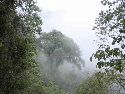 Forest, upper Lingmethang Road, Bhutan |
| comment | share |