


|
|
|
|
|
|
| Don Boyd | profile | all galleries >> Memories of Old Hialeah, Old Miami and Old South Florida Photo Galleries - largest non-Facebook collection on the internet >> 2000 and later Miami Area Photos Gallery - click on image to view | tree view | thumbnails | slideshow | map |
There are more photos of the Miami Area at: https://pbase.com/donboyd/places_miami_area
For those of you who are new to computing and/or surfing the internet, this is just one page of many pages of photos on this site. The home page for our Old Hialeah/Old Miami galleries is at https://pbase.com/donboyd/memories and all the oldie galleries spin off from that page. You can also click on the yellow colored >> Memories of Old Hialeah, Old Miami and Old South Florida Photo Galleries >> at top of any page to get back to the main oldies page to search other galleries.
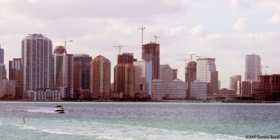 2007 - Crane City in the Brickell area |
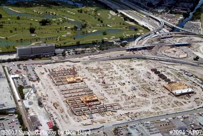 2007 - construction of the new Intermodal Center east of Miami International Airport |
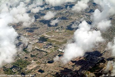
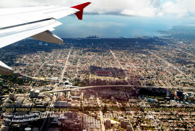 2007 - aerial view of Miami east of the airport and the Orange Bowl |
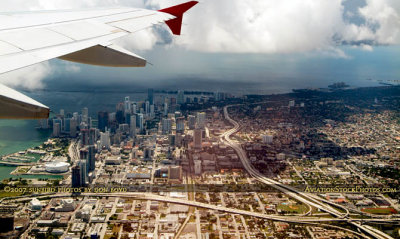 2007 - aerial view of I-395, SR 836 and I-95 interchange and part of downtown Miami |
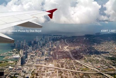 2007 - aerial view of downtown Miami |
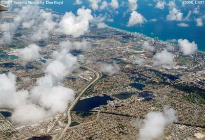 2007 - aerial view of northeast Dade and southeast Broward counties |
 2007 - north Dade / south Broward and the Dolphin Stadium |
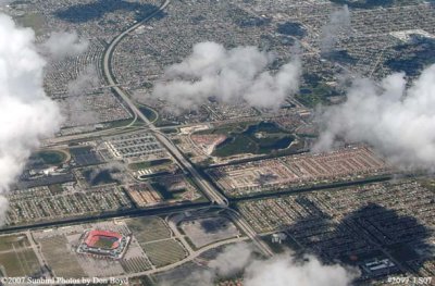
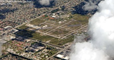 2007 - North Perry Airport, with Miramar and Pembroke Pines |
 2007 - Hollywood, Pembroke Pines, Miramar and North Perry Airport |
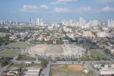 2008 - the Orange Bowl is demolished and hauled away |
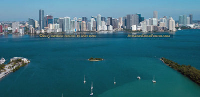
 2008 - Brickell Key (formerly Claughton Island) and the mouth of the Miami River (right side) |
 2008 - Brickell Key, the mouth of the Miami River and downtown Miami |
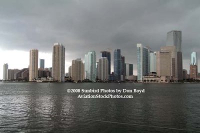 2008 - Brickell Key, the mouth of the Miami River and downtown Miami |
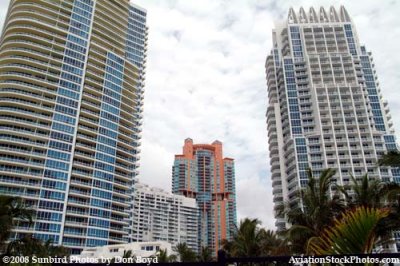
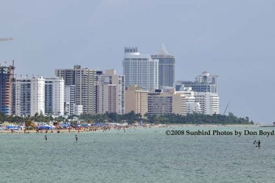 2008 - the Miami Beach skyline as viewed from the real South Beach |
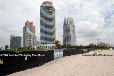 2008 - the northwest view from the south portion of the real South Beach |
 2008 - the view to the west from the real South Beach |
 2008 - the view to the west from the real South Beach |
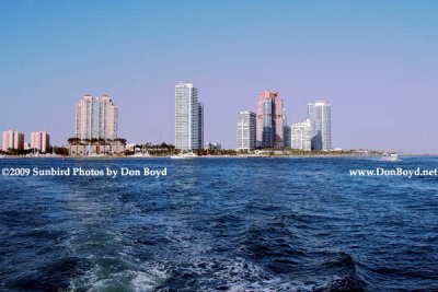
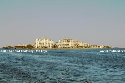
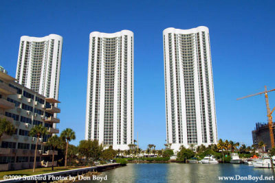 2009 - mostly vacant condo towers at 157th and Collins Avenue, Sunny Isles Beach (#1586) |
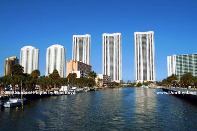 2009 - mostly vacant condo towers on Sunny Isles Beach (#1587) |
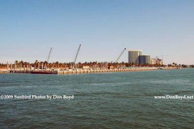 2009 - Haulover Marina under reconstruction (#1589) |
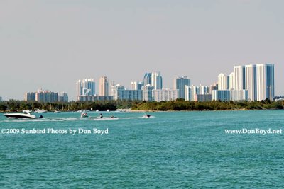
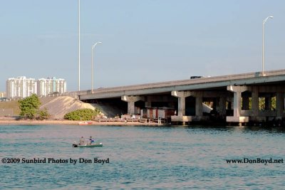
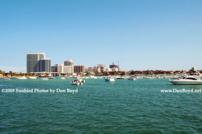 2009 - boaters at a low tide sandbar, the Haulover Bridge and Bal Harbour in the background (#1591) |
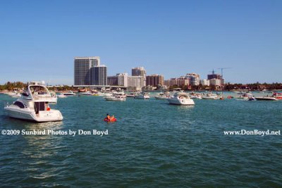 2009 - boaters at a low tide sandbar, the Haulover Bridge and Bal Harbour in the background (#1592) |
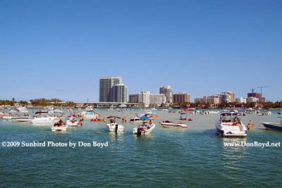 2009 - boaters at a low tide sandbar, the Haulover Bridge and Bal Harbour in the background (#1593) |
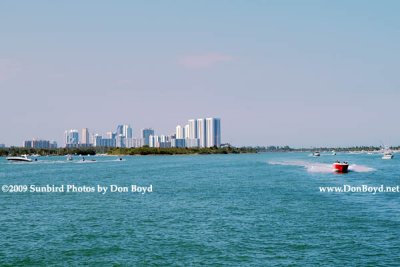 2009 - looking north at Oleta River State Park (left), Sunny Isles Beach condos and Haulover Park (right) (#1602) |
 2009 - Oleta River State Park in the foreground and condos of Sunny Isles Beach in the background (#1602) |
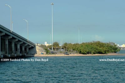
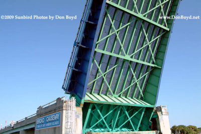 2009 - the underside of the Broad Causeway bridge over the Intracoastal Waterway (#1605) |
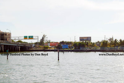 2009 - site of the former Mike Gordon's Seafood Restaurant on the north side of 79th Street at the bay (#1610) |
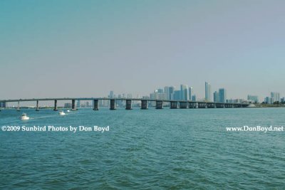 2009 - the Julia Tuttle Causeway with downtown Miami in the background (#1616) |
 2009 - under the bridge home for sex offenders in Miami-Dade County (#1617) |
 2009 - under the bridge home for sex offenders in Miami-Dade County (#1618) |
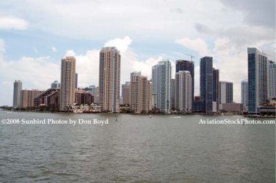
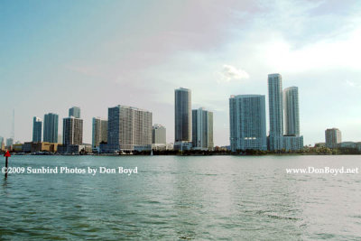
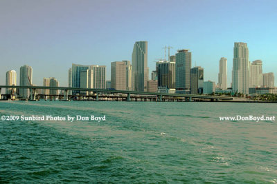
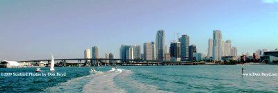
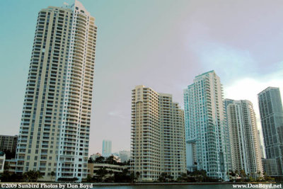
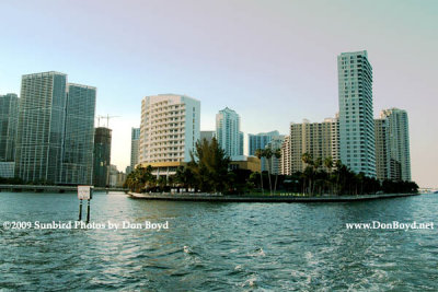
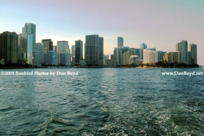
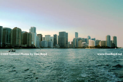
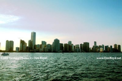
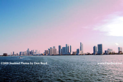 2009 - the Brickell area and downtown Miami (#1619) |
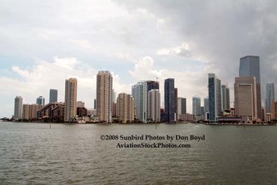
 2009 - the Brickell area and downtown Miami (#1620) |
 2009 - hotels/condos north of The Miami Herald building (far left side) (#1621) |
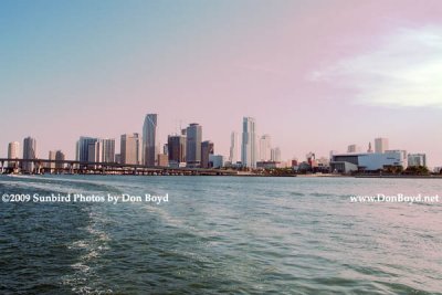 2009 - downtown Miami to the American Airlines Arena (right) (#1625) |
 2009 - downtown Miami (#1626) |
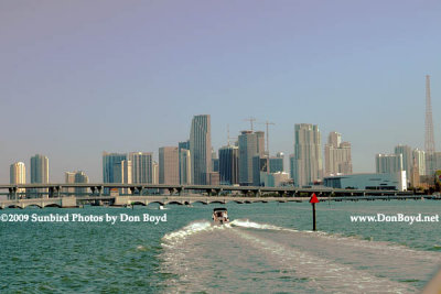
 2009 - the Port of Miami and high rise buildings of Brickell Avenue, Brickell Key and downtown Miami (#1624) |
 2009 - Government Cut while all the cruise ships are out of town (#1627) |
 2009 - a Lejos going westward in Government Cut with the Miami Herald building in the background (#1628) |
 2009 - Terminal Island, former home of the FP&L Miami Beach power plant, and the high-rise condos of South Beach (#1629) |
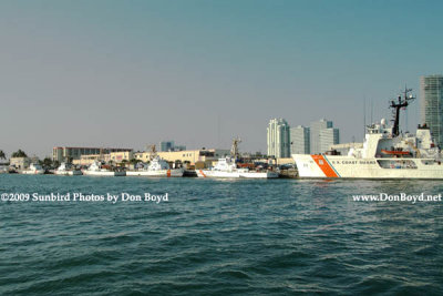 2009 - the Coast Guard Base (Sector Miami) on Causeway Island with Miami Beach in the background (#1631) |
 2009 - the Coast Guard Base (Sector Miami) on Causeway Island (left) and Miami Beach (right) (#1635) |
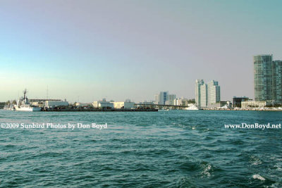
 2009 - the south tip of Miami Beach with Government Cut on the right (#1636) |
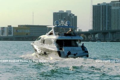
 2009 - the yacht "Deslize" from Road Harbour, British Virgin Islands, passing in front of Fisher Island (#1638) |
 2009 - the yacht "Deslize" from Road Harbour, British Virgin Islands, passing in front of Fisher Island (#1639) |
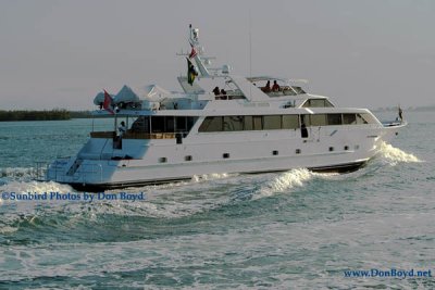 2009 - the yacht "Deslize" from Road Harbour, British Virgin Islands (#1642) |
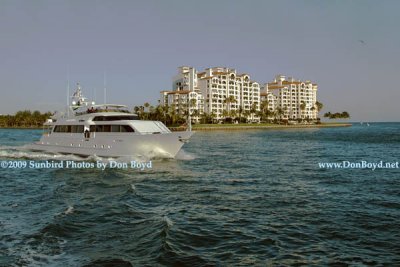
 2009 - Fisher Island as viewed from the southwest - Government Cut on the left (#1644) |
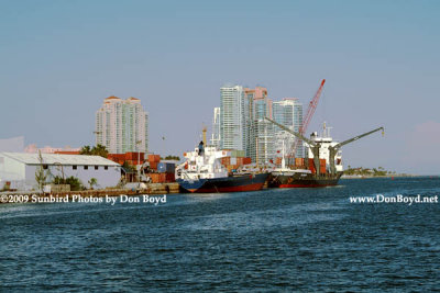
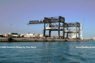 2009 - cargo cranes at the Port of Miami (#1645) |
 2009 - the mouth of the Miami River with Brickell Key (former Claughton Island) on the left and downtown on the right (#1646) |
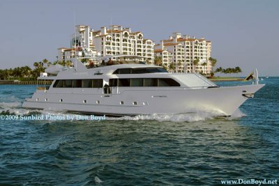
 2009 - the former Claughton Island, now Brickell Key (#1647) |
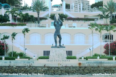 2009 - Tequesta Point on Brickell Key, formerly Claughton Island, Miami (#1648) |
 2009 - Brickell Key from the south, formerly Claughton Island, Miami (#1649) |
 2009 - looking north at Brickell Key (former Claughton Island) (#1650) |
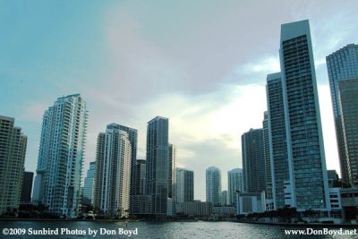
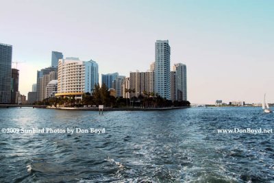
 2009 - Brickell Avenue's high rise buildings in the late afternoon (#1651) |
 2009 - Brickell Avenue, downtown Miami and Brickell Key high rise buildings (#1652) |
 2009 - Brickell Avenue, Brickell Key and downtown Miami high rise buildings (#1653) |
 2009 - Brickell Avenue high rise buildings in late afternoon (#1655) |
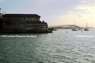
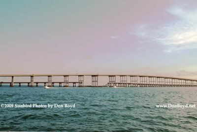 2009 - the old and new Rickenbacker Causeway bridges linking Virginia Key and Key Biscayne to the mainland (#1657) |
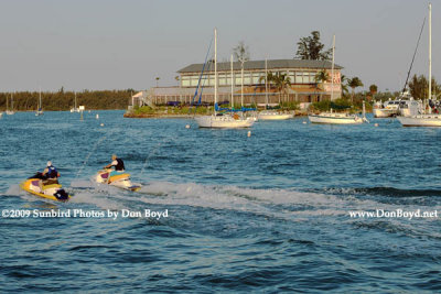 2009 - the Rusty Pelican Restaurant (#1658) |
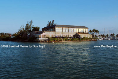 2009 - the Rusty Pelican Restaurant (#1659) |
 2009 - the Rusty Pelican Restaurant and the Rickenbacker Causeway (#1660) |
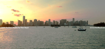
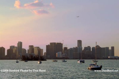 2009 - Biscayne Bay and Miami's high rise buildings at sunset (#1664) |
 Miami Marine Stadium at sunset (see below) |
 2009 - Miami's high rise buildings at sunset (#1665) |
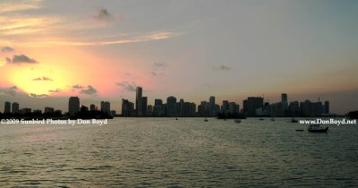 2009 - Miami's high rise buildings at sunset (#1666) |
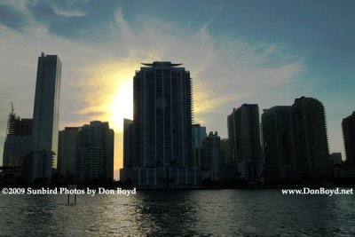
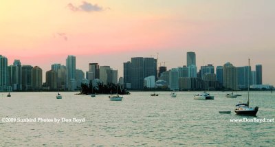 2009 - sunset sky behind the high rise buildings of Brickell Avenue, Brickell Key and downtown Miami (#1667) |
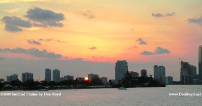 2009 - sunset over the Rusty Pelican restaurant and high rise buildings along Bayshore and Brickell Avenue (#1668) |
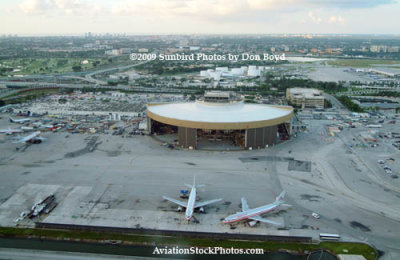 2009 - the former National Airlines hangar at Miami International Airport |
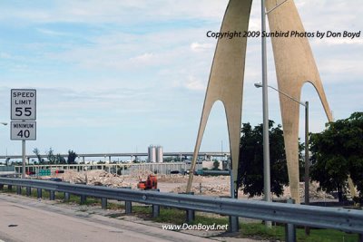
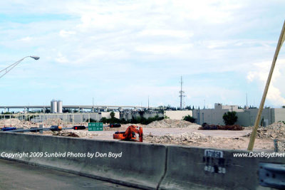
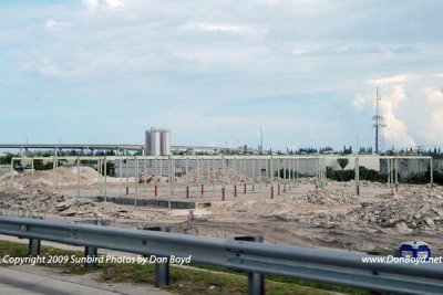
 2009 - the new Miami Intermodal Center (MIC) just east of Miami International Airport still under construction |
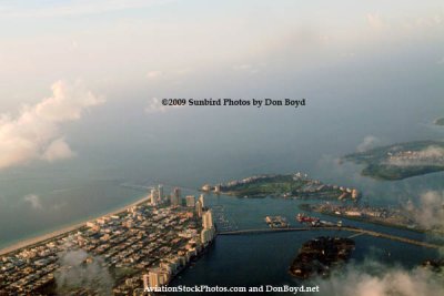
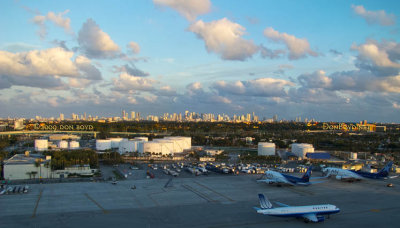
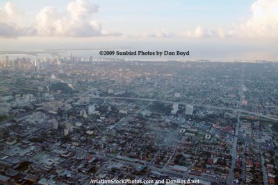 2009 - aerial sunrise view of Miami |
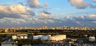
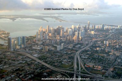 2009 - aerial sunrise view of downtown Miami |
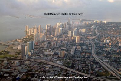 2009 - aerial sunrise view of downtown Miami |
 2009 - aerial sunrise view of South Beach, Causeway Island, Terminal Island, Fisher Island, Star Island and Virginia Key |
 2009 - another landmark in Dade County disappears: the huge Modernage Furniture Store west of the Golden Glades interchange |
 2009 - another landmark in Dade County disappears: the huge Modernage Furniture Store west of the Golden Glades interchange |
 2009 - another landmark in Dade County disappears: the huge Modernage Furniture Store west of the Golden Glades interchange |
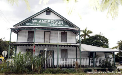 2009 - an old building at Anderson's Corner in the Redland |
 2009 - the Brickell Avenue area skyline at sunset |
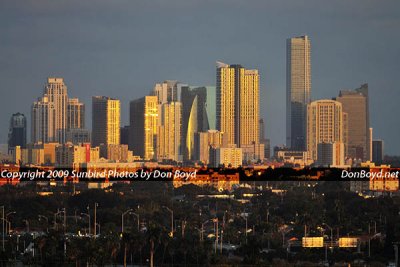
 December 2009 - the Miami skyline at sunset as seen from Miami International Airport |
 December 2009 - closeup of the Miami skyline at sunset as seen from Miami International Airport |
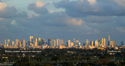 December 2009 - closeup of the Miami skyline at sunset as seen from Miami International Airport |
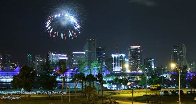 2010 - July 4th fireworks at Bayfront Park, downtown Miami |
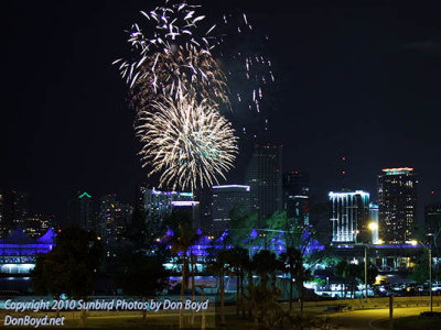 2010 - July 4th fireworks at Bayfront Park, downtown Miami |
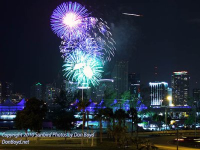 2010 - July 4th fireworks at Bayfront Park, downtown Miami |
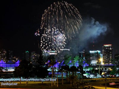 2010 - July 4th fireworks at Bayfront Park, downtown Miami |
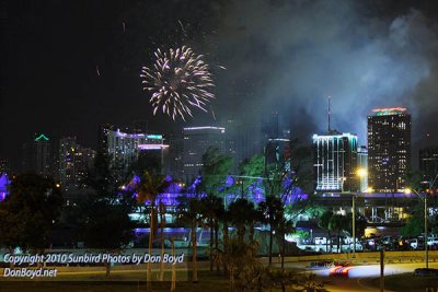 2010 - July 4th fireworks at Bayfront Park, downtown Miami |
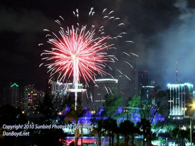 2010 - July 4th fireworks at Bayfront Park, downtown Miami |
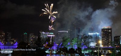 2010 - July 4th fireworks at Bayfront Park, downtown Miami |
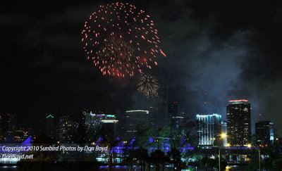 2010 - July 4th fireworks at Bayfront Park, downtown Miami |
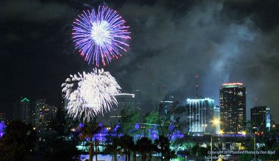 2010 - July 4th fireworks at Bayfront Park, downtown Miami |
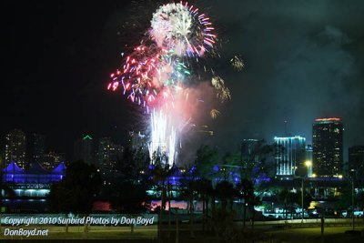 2010 - July 4th fireworks at Bayfront Park, downtown Miami |
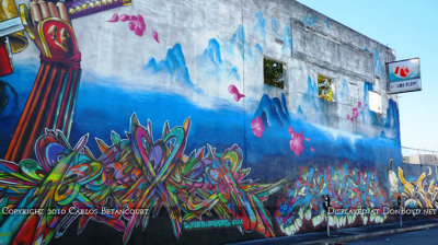 2010 - the former Royal Crown (RC) Cola Plant on NW 24th Street in Miami |
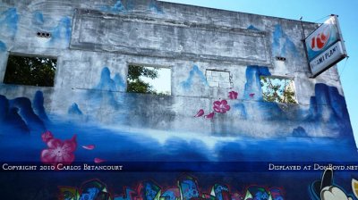 2010 - the former Royal Crown (RC) Cola Plant on NW 24th Street in Miami |
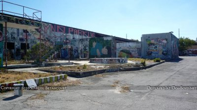 2010 - the former Royal Crown (RC) Cola Plant on NW 24th Street in Miami |
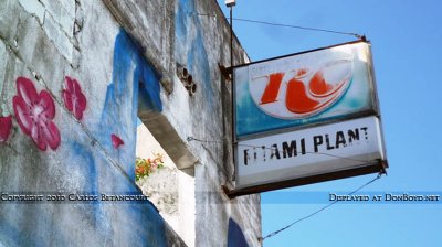 2010 - the former Royal Crown (RC) Cola Plant on NW 24th Street in Miami |
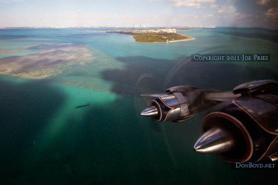
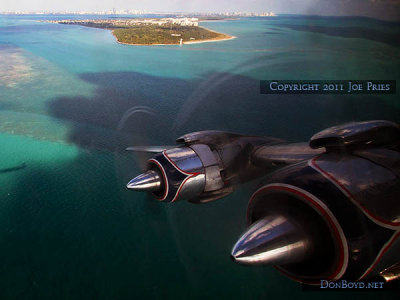
 2011 - Fisher Island to the left of Government Cut, the real South Beach and downtown Miami in the background |
 2011 - Cape Florida Lighthouse, Bill Baggs State Park and Key Biscayne in the background |
 2011 - Cape Florida Lighthouse, Bill Baggs State Park and Key Biscayne in the background |
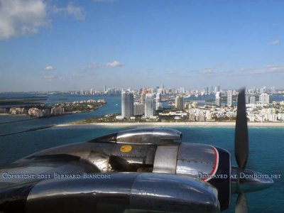
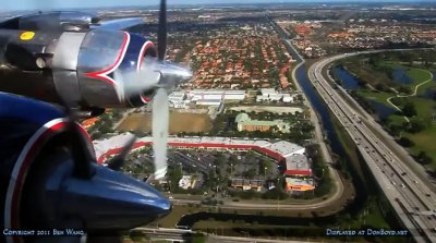 2011 - aerial photo from Historical Flight Foundation's restored Eastern Air Lines DC-7B N836D over Miami Lakes |
 2011 - aerial view of Sunny Isles Beach, Haulover Park and Inlet, and Bal Harbour, Surfside and Miami Beach |
 2012 - Two Coast Guard 25-Foot Defender Class Boats patrolling near the mouth of the Miami River, Brickell and downtown area |
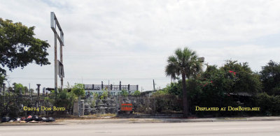 April 2014 - Denmark's Art Stone on N. W. 7th Avenue, North Miami |
 2014 - "Parcel B" that was promised to voters to become a waterfront park east of the American Airlines Arena in downtown Miami |
 January 2015 - the view south from Dadeland Mall just west of the former Burdine's department store (Macy's now) |
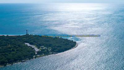 October 2015 - aerial photo of Cape Florida Lighthouse at Bill Baggs State Park on Key Biscayne |
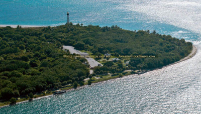 October 2015 - closeup aerial photo of Cape Florida Lighthouse at Bill Baggs State Park on Key Biscayne |
 2015 - Rusty Pelican on left, Brickell and downtown Miami skyscrapers in the background |
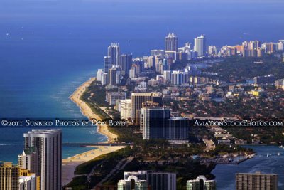
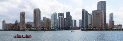
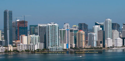 2015 - skyscrapers in the Brickell area south of downtown Miami |
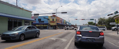 May 2016 - looking west on NW 36th Street at 17th Avenue in the heart of Allapattah |
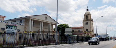 May 2016 - the landmark old church on NW 36th Street west of Miami Jackson Senior High School |
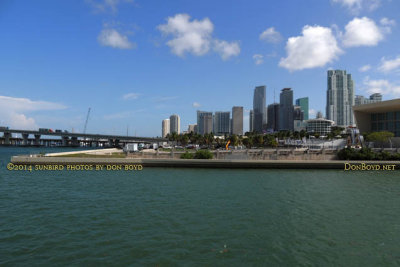
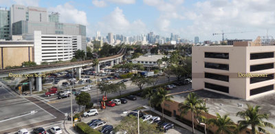 2017 - Downtown Miami and the Brickell area from the top of the University of Miami Hospital parking garage |
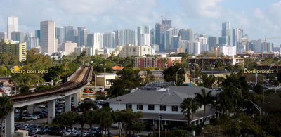 2017 - Downtown Miami and the Brickell area from the top of the University of Miami Hospital parking garage |
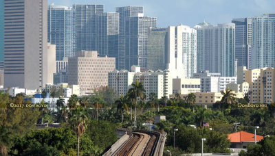 2017 - Downtown Miami and the Brickell area from the top of the University of Miami Hospital parking garage |
| comment | share |
| Mark Lincoln | 24-Apr-2015 23:15 | |
| Don Boyd | 18-Feb-2012 19:20 | |
| Don Boyd | 25-May-2009 07:03 | |
| Paolo Peggi (aka Bracciodiferro) | 24-May-2009 06:08 | |