photo sharing and upload picture albums photo forums search pictures popular photos photography help login
Type your message and click Add Comment
It is best to login or register first but you may post as a guest.
Enter an optional name and contact email address. Name
Name Email
help private comment
Don Boyd | profile | all galleries >> Memories of Old Hialeah, Old Miami and Old South Florida Photo Galleries - largest non-Facebook collection on the internet >> 2000 and later Miami Area Photos Gallery - click on image to view tree view | thumbnails | slideshow | map

Memories of Old HIALEAH, Florida - Historical Photo Galleries and Commentaries - click on image to view and read | MIAMI SPRINGS and VIRGINIA GARDENS Historical Photos Gallery - All Years - click on image to view | OPA-LOCKA and adjacent areas Historical Photos Gallery - All Years - click on image to view | 1883 to 1919 Miami Area Historical Photos Gallery - click on image to view | 1920 to 1929 Miami Area Historical Photos Gallery - click on image to view | 1930 to 1939 Miami Area Historical Photos Gallery - click on image to view | 1940 to 1949 Miami Area Historical Photos Gallery - click on image to view | 1950 to 1959 Miami Area Historical Photos Gallery - click on image to view | 1960 to 1969 Miami Area Historical Photos Gallery - click on image to view | 1970 to 1999 Miami Area Historical Photos Gallery - click on image to view | 2000 and later Miami Area Photos Gallery - click on image to view | Miami Area Tourist and Local ATTRACTIONS Historical Photos Gallery - All Years - click on image to view | Miami and Florida AVIATION Historical Photos Gallery - Airports, Airlines, Aircraft - All Years - click on image to view | Miami Area CARS, Car Clubs, Car Rental Agencies, Car Dealers, Drag Racing, Auto Shows, Speedways - click on image to view | DOWNTOWN Miami, Bayfront Park and Port of Miami Historical Photos Gallery - All Years - click on image to view | Miami Area GAS STATIONS Historical Photos gallery - All Years - click on image to view | Miami Area GROCERY STORES and Food Markets Historical Photos Gallery - All Years - click on image to view | Miami Area HOTELS and MOTELS Historical Photos Gallery - All Years - click on image to view | Miami Area INDIVIDUALS and GROUPS Historical Photos Gallery - All Years - click on image to view | Miami Area and South Florida MISSILE BASES Historical Photos Gallery - All Years - click on image to view | Memories of MUSIC, Radio Stations, Musical Groups and Links to Oldies Videos Photo Gallery - click on image to view | Miami Area RESTAURANTS, Drive-Ins, Bars, Lounges, Liquor Stores, Clubs, Strip Joints, etc. Gallery - All Years - click to view | Miami Area SCHOOLS, Classes, Teams, Bands, and Clubs Historical Photos Gallery - All Years - click on image to view | South Florida SHOPPING CENTERS, STORES, and MALLS Historical Photos Gallery - All Years - click on image to view | Miami Area TELEVISION and RADIO PERSONALITIES Historical Photo Gallery - click on image to view | Miami Area THEATRES and DRIVE-IN THEATRES Historical Photos Gallery - All Years - click on image to view | 6/15/11 - RIP Mr. Haast! Bill HAAST and the MIAMI SERPENTARIUM Photo Gallery - click on image to view | Old National and Miami Area ADVERTISEMENTS - All Years - click on image to view | Gallery: Do YOU Remember? - all years - click on image to view | Burger Beast Museum Gallery - located at the entrance to the Magic City Casino in Miami | It is spelled Opa-locka, not Opa-Locka, not Opa Locka and not Opa locka - click on image to view gallery | Dade and Broward High School Reunions - Post them here in the comments - click on the image to see planned and past reunions | 2010 - current race/ethnic percentages for Miami-Dade and Broward County High Schools | Support Historic Hialeah Park | Memory Test - where were these photos taken? | Comments from folks who grew up in the 1970's and 80's - click on image to view | VeteranAid.org - valuable information on the little known VA Aid and Attendance Program - click on image to view | Oldest Comments Gallery - August 2006 through July 31, 2008 - closed to new comments - click on image to view | Older Comments Gallery - August 1 thru December 31, 2008 - closed to new comments - click on image to view | Older Comments Gallery - January 1, 2009 thru January 17, 2010 - closed to new comments - click on image to view | OLD Comments Gallery - January 18 thru June 30, 2010 - closed to new comments - click on image to view | OLD Comments Gallery - July 1 through December 31, 2010 - closed to new comments - click on image to view | OLD Comments Gallery - January 1 through June 30, 2011 - closed to new comments - click on image to view | NEW COMMENTS starting July 1, 2011 | Rogues Gallery - photos of our comments gallery contributors - click on image to view

2000 and later Miami Area Photos Gallery - click on image to view


There are more photos of the Miami Area at: https://pbase.com/donboyd/places_miami_area

For those of you who are new to computing and/or surfing the internet, this is just one page of many pages of photos on this site. The home page for our Old Hialeah/Old Miami galleries is at https://pbase.com/donboyd/memories and all the oldie galleries spin off from that page. You can also click on the yellow colored >> Memories of Old Hialeah, Old Miami and Old South Florida Photo Galleries >> at top of any page to get back to the main oldies page to search other galleries.

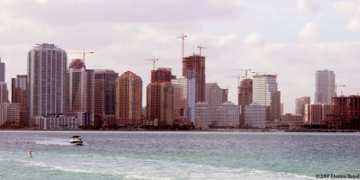
2007 - Crane City in the Brickell area
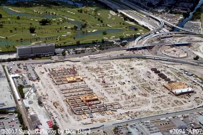
2007 - construction of the new Intermodal Center east of Miami International Airport
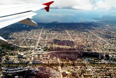
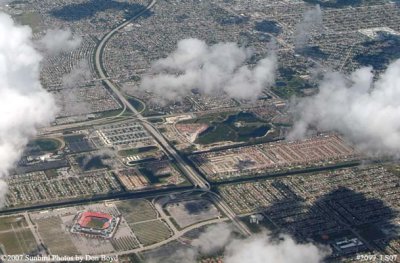
2007 - aerial view of Miami east of the airport and the Orange Bowl
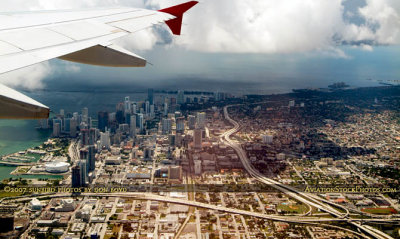
2007 - aerial view of I-395, SR 836 and I-95 interchange and part of downtown Miami
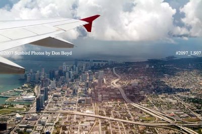
2007 - aerial view of downtown Miami
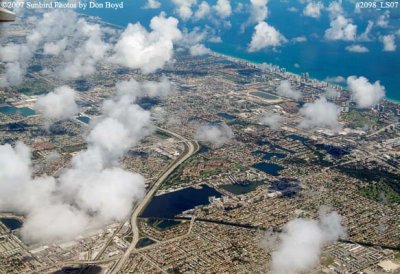
2007 - aerial view of northeast Dade and southeast Broward counties
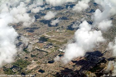
2007 - north Dade / south Broward and the Dolphin Stadium
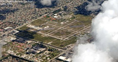
2007 - North Perry Airport, with Miramar and Pembroke Pines
2007 - Hollywood, Pembroke Pines, Miramar and North Perry Airport
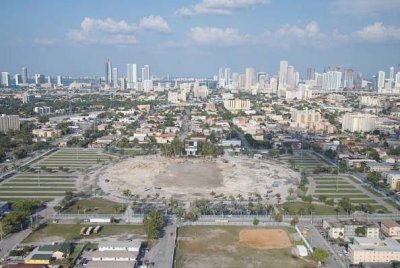
2008 - the Orange Bowl is demolished and hauled away
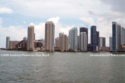
2008 - Brickell Key (formerly Claughton Island) and the mouth of the Miami River (right side)
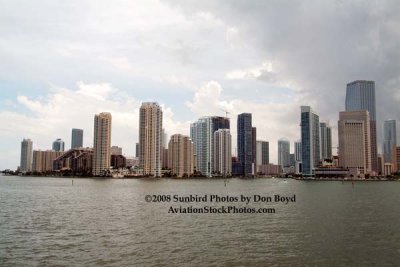
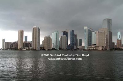
2008 - Brickell Key, the mouth of the Miami River and downtown Miami
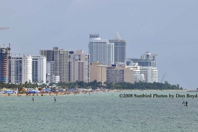
2008 - the Miami Beach skyline as viewed from the real South Beach
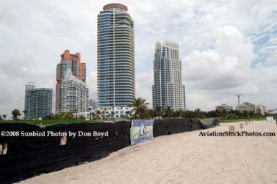
2008 - the northwest view from the south portion of the real South Beach
2008 - the view to the west from the real South Beach
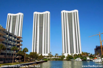
2009 - mostly vacant condo towers at 157th and Collins Avenue, Sunny Isles Beach (#1586)
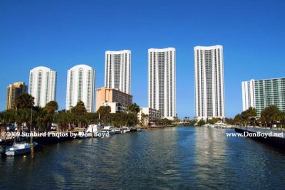
2009 - mostly vacant condo towers on Sunny Isles Beach (#1587)
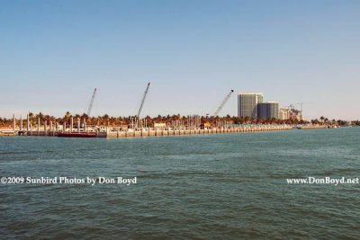
2009 - Haulover Marina under reconstruction (#1589)
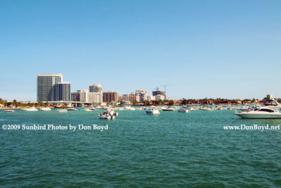
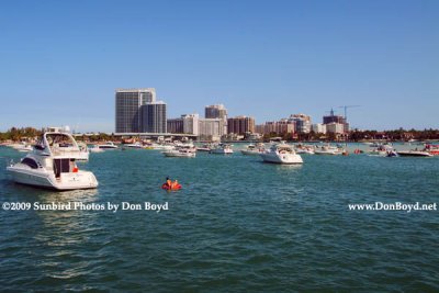
2009 - boaters at a low tide sandbar, the Haulover Bridge and Bal Harbour in the background (#1591)
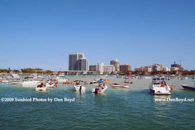
2009 - boaters at a low tide sandbar, the Haulover Bridge and Bal Harbour in the background (#1592)
2009 - boaters at a low tide sandbar, the Haulover Bridge and Bal Harbour in the background (#1593)
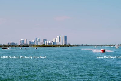
2009 - looking north at Oleta River State Park (left), Sunny Isles Beach condos and Haulover Park (right)  (#1602)
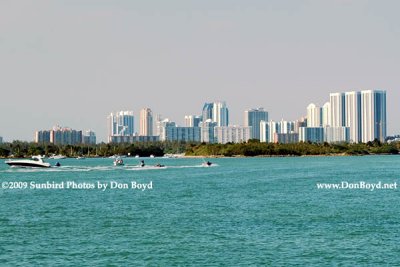
2009 - looking north at Oleta River State Park (left), Sunny Isles Beach condos and Haulover Park (right) (#1602)
2009 - Oleta River State Park in the foreground and condos of Sunny Isles Beach in the background (#1602)
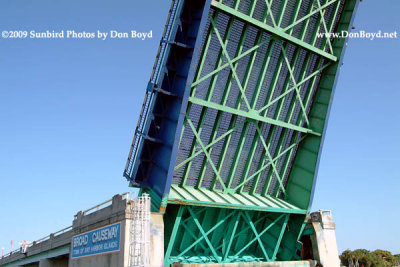
2009 - the underside of the Broad Causeway bridge over the Intracoastal Waterway (#1605)
2009 - site of the former Mike Gordon's Seafood Restaurant on the north side of 79th Street at the bay (#1610)
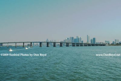
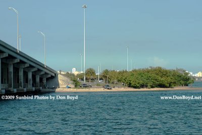
2009 - the Julia Tuttle Causeway with downtown Miami in the background (#1616)
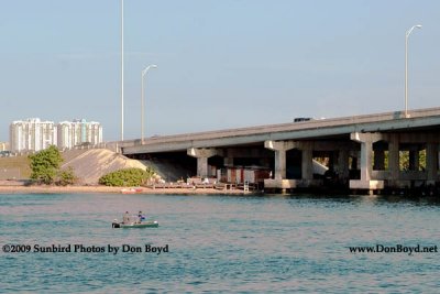
2009 - under the bridge home for sex offenders in Miami-Dade County (#1617)
2009 - under the bridge home for sex offenders in Miami-Dade County (#1618)
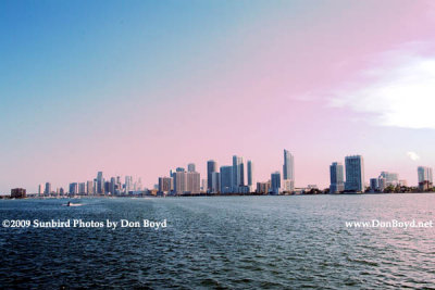
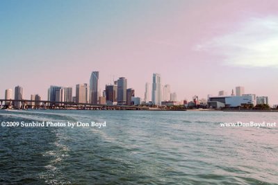
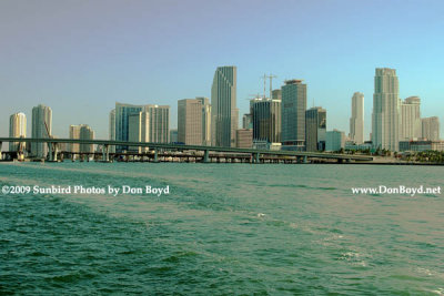
2009 - the Brickell area and downtown Miami (#1619)
2009 - the Brickell area and downtown Miami (#1620)
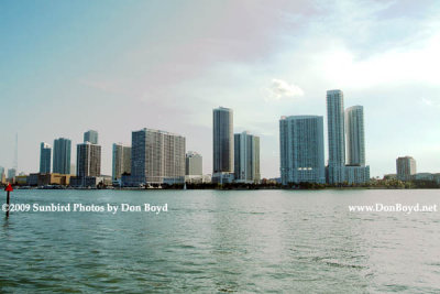
2009 - hotels/condos north of The Miami Herald building (far left side) (#1621)
2009 - downtown Miami to the American Airlines Arena (right) (#1625)
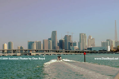
2009 - downtown Miami (#1626)
2009 - the Port of Miami and high rise buildings of Brickell Avenue, Brickell Key and downtown Miami (#1624)
2009 - Government Cut while all the cruise ships are out of town (#1627)
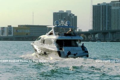
2009 - a Lejos going westward in Government Cut with the Miami Herald building in the background (#1628)
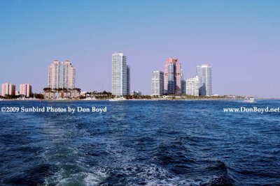
2009 - Terminal Island, former home of the FP&L Miami Beach power plant, and the high-rise condos of South Beach (#1629)
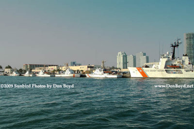
2009 - the Coast Guard Base (Sector Miami) on Causeway Island with Miami Beach in the background (#1631)
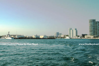
2009 - the Coast Guard Base (Sector Miami) on Causeway Island (left) and Miami Beach (right) (#1635)
2009 - the south tip of Miami Beach with Government Cut on the right (#1636)
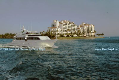
2009 - the yacht Deslize from Road Harbour, British Virgin Islands, passing in front of Fisher Island (#1638)
2009 - the yacht "Deslize" from Road Harbour, British Virgin Islands, passing in front of Fisher Island (#1638)
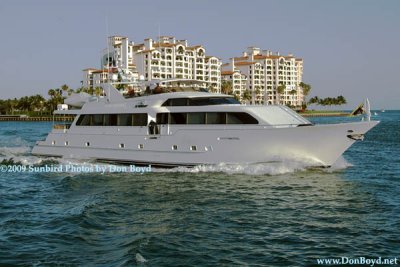
2009 - the yacht Deslize from Road Harbour, British Virgin Islands, passing in front of Fisher Island (#1639)
2009 - the yacht "Deslize" from Road Harbour, British Virgin Islands, passing in front of Fisher Island (#1639)
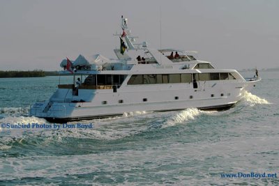
2009 - the yacht Deslize from Road Harbour, British Virgin Islands (#1642)
2009 - the yacht "Deslize" from Road Harbour, British Virgin Islands (#1642)
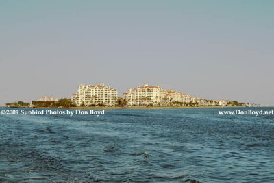
2009 - Fisher Island as viewed from the southwest - Government Cut on the left (#1644)
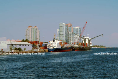
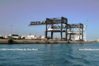
2009 - cargo cranes at the Port of Miami (#1645)
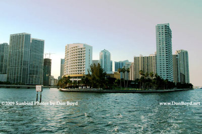
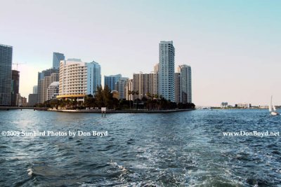
2009 - the mouth of the Miami River with Brickell Key (former Claughton Island) on the left and downtown on the right (#1646)
2009 - the former Claughton Island, now Brickell Key (#1647)
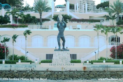
2009 - Tequesta Point on Brickell Key, formerly Claughton Island, Miami (#1648)
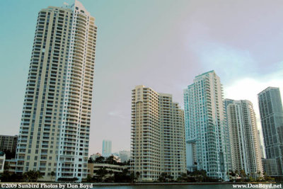
2009 - Brickell Key from the south, formerly Claughton Island, Miami (#1649)
2009 - looking north at Brickell Key (former Claughton Island) (#1650)
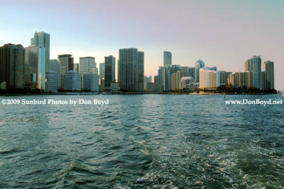
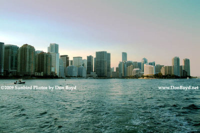
2009 - Brickell Avenue's high rise buildings in the late afternoon (#1651)
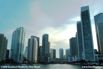
2009 - Brickell Avenue, downtown Miami and Brickell Key high rise buildings (#1652)
2009 - Brickell Avenue, Brickell Key and downtown Miami high rise buildings (#1653)
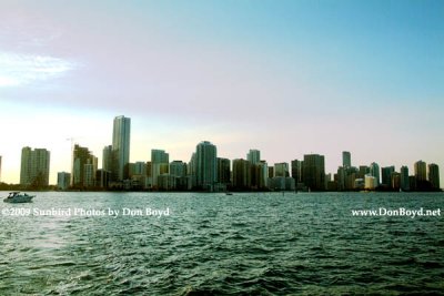
2009 - Brickell Avenue high rise buildings in late afternoon (#1655)
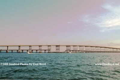
2009 - the old and new Rickenbacker Causeway bridges linking Virginia Key and Key Biscayne to the mainland (#1657)
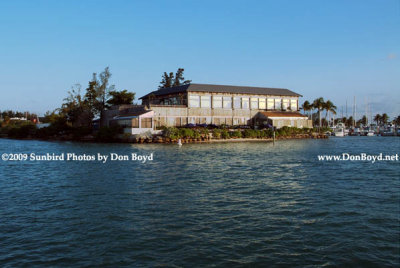
2009 - the Rusty Pelican Restaurant (#1658)
2009 - the Rusty Pelican Restaurant (#1659)
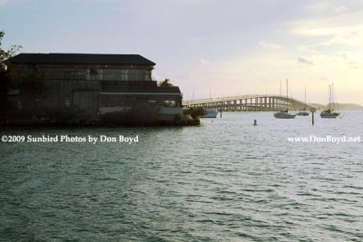
2009 - the Rusty Pelican Restaurant and the Rickenbacker Causeway (#1660)
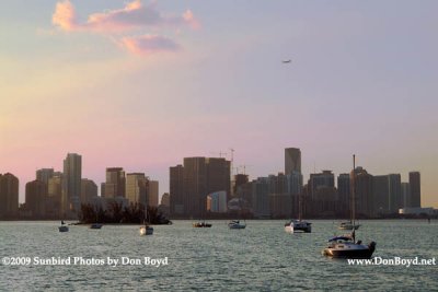
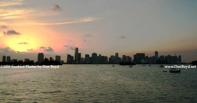
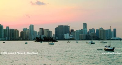
2009 - Biscayne Bay and Miami's high rise buildings at sunset (#1664)
Miami Marine Stadium at sunset  (see below)
Miami Marine Stadium at sunset (see below)
2009 - Miami's high rise buildings at sunset (#1665)
2009 - Miami's high rise buildings at sunset (#1666)
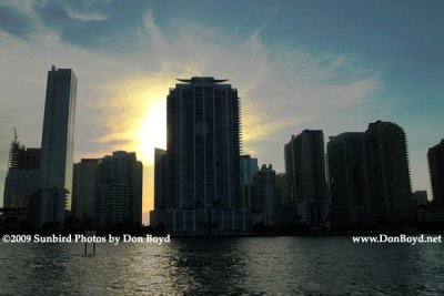
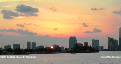
2009 - sunset sky behind the high rise buildings of Brickell Avenue, Brickell Key and downtown Miami (#1667)
2009 - sunset over the Rusty Pelican restaurant and high rise buildings along Bayshore and Brickell Avenue (#1668)
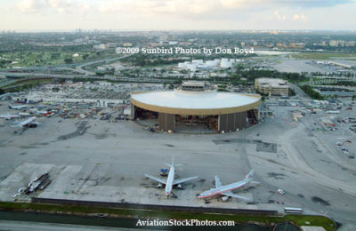
2009 - the former National Airlines hangar at Miami International Airport
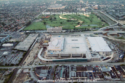
2009 - the new Miami Intermodal Center (MIC) just east of Miami International Airport still under construction
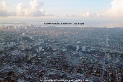
2009 - aerial sunrise view of Miami
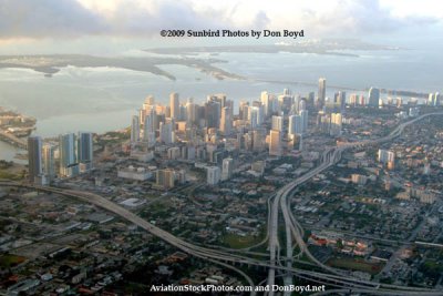
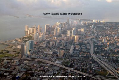
2009 - aerial sunrise view of downtown Miami
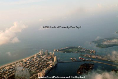
2009 - aerial sunrise view of South Beach, Causeway Island, Terminal Island, Fisher Island, Star Island and Virginia Key
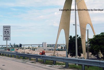
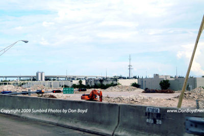
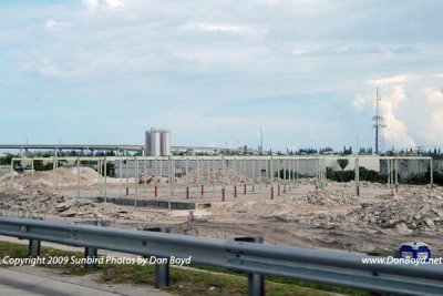
2009 - another landmark in Dade County disappears:  the huge Modernage Furniture Store west of the Golden Glades interchange
2009 - another landmark in Dade County disappears: the huge Modernage Furniture Store west of the Golden Glades interchange
2009 - another landmark in Dade County disappears:  the huge Modernage Furniture Store west of the Golden Glades interchange
2009 - another landmark in Dade County disappears: the huge Modernage Furniture Store west of the Golden Glades interchange
2009 - another landmark in Dade County disappears:  the huge Modernage Furniture Store west of the Golden Glades interchange
2009 - another landmark in Dade County disappears: the huge Modernage Furniture Store west of the Golden Glades interchange
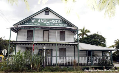
2009 - an old building at Anderson's Corner in the Redland
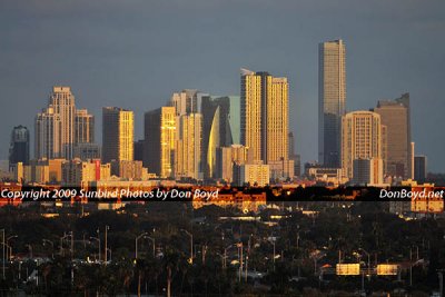
2009 - the Brickell Avenue area skyline at sunset
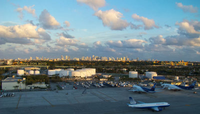
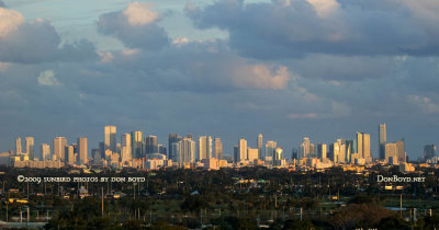
December 2009 - the Miami skyline at sunset as seen from Miami International Airport
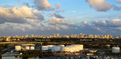
December 2009 - closeup of the Miami skyline at sunset as seen from Miami International Airport
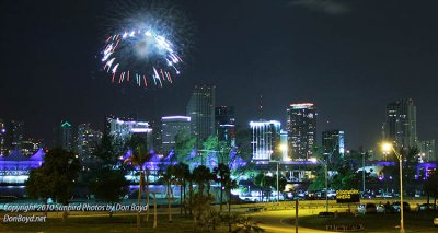
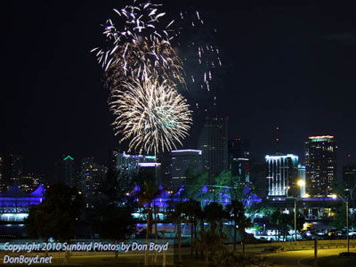
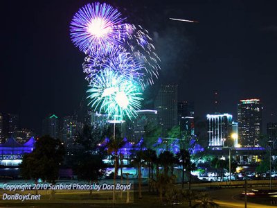
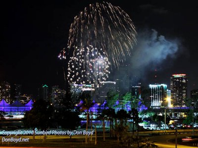
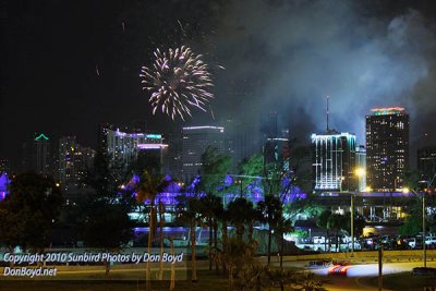
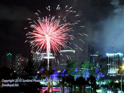
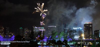
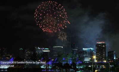
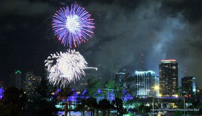
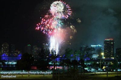
2010 - July 4th fireworks at Bayfront Park, downtown Miami
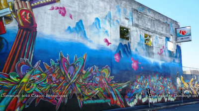
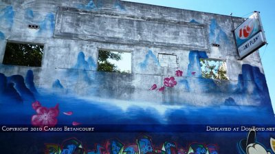
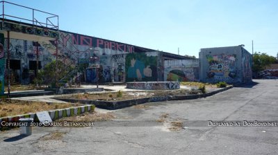
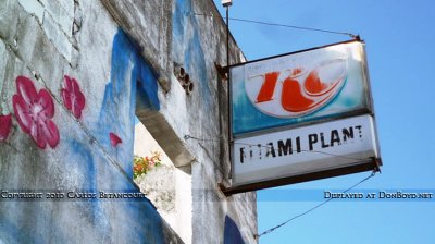
2010 - the former Royal Crown (RC) Cola Plant on NW 24th Street in Miami
2011 - Fisher Island to the left of Government Cut, the real South Beach and downtown Miami in the background
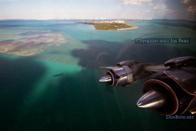
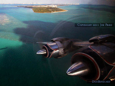
2011 - Cape Florida Lighthouse, Bill Baggs State Park and Key Biscayne in the background
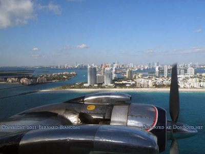
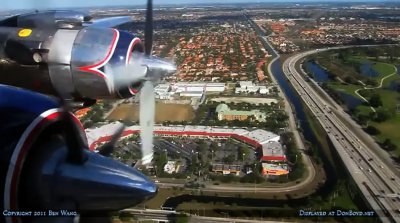
2011 - aerial photo from Historical Flight Foundation's restored Eastern Air Lines DC-7B N836D over Miami Lakes
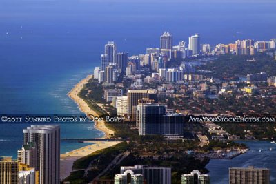
2011 - aerial view of Sunny Isles Beach, Haulover Park and Inlet, and Bal Harbour, Surfside and Miami Beach
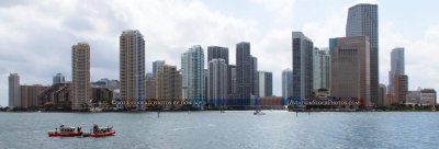
2012 - Two Coast Guard 25-Foot Defender Class Boats patrolling near the mouth of the Miami River, Brickell and downtown area
April 2014 - Denmark's Art Stone on N. W. 7th Avenue, North Miami
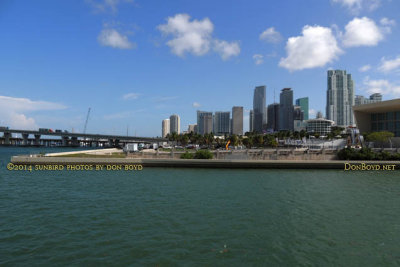
2014 - Parcel B that was promised to voters to become a waterfront park east of the American Airlines Arena in downtown Miami
2014 - "Parcel B" that was promised to voters to become a waterfront park east of the American Airlines Arena in downtown Miami
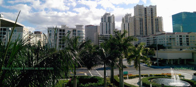
January 2015 - the view south from Dadeland Mall just west of the former Burdine's department store (Macy's now)
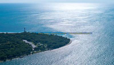
October 2015 - aerial photo of Cape Florida Lighthouse at Bill Baggs State Park on Key Biscayne
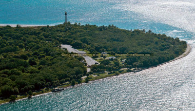
October 2015 - closeup aerial photo of Cape Florida Lighthouse at Bill Baggs State Park on Key Biscayne
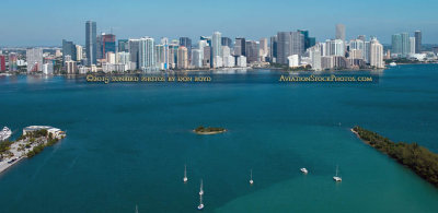
2015 - Rusty Pelican on left, Brickell and downtown Miami skyscrapers in the background
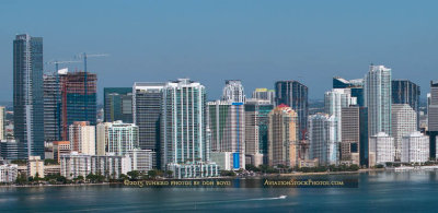
2015 - skyscrapers in the Brickell area south of downtown Miami
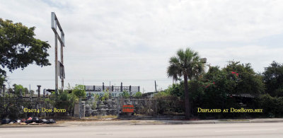
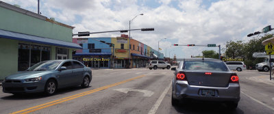
May 2016 - looking west on NW 36th Street at 17th Avenue in the heart of Allapattah
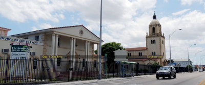
May 2016 - the landmark old church on NW 36th Street west of Miami Jackson Senior High School
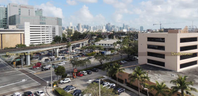
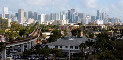
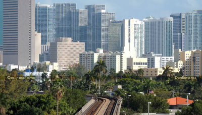
2017 - Downtown Miami and the Brickell area from the top of the University of Miami Hospital parking garage